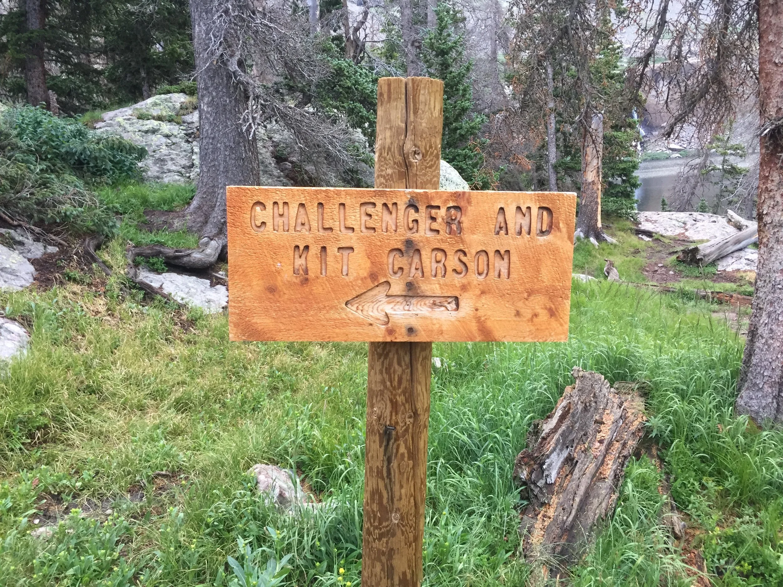
Challenger Point

I’ll start with a couple of positive notes. First, I learned a lot over the past couple days. Second, I haven’t fared particularly well on first attempts in the Sangre de Cristo range (both in Colorado and New Mexico). My first tries at West Spanish Peak, Wheeler Peak, and the Latir group could all be considered failures. However, I have made amends with the latter two of those, including a recent Latir trek that ranks as my longest single-day hike (20 miles) with the most summits in the bag (4).
My plan for the last two days was nothing overly ambitious. I would knock off the 4.75-mile approach hike, camp just below treeline, and give myself plenty of time and energy for the short but tricky Class 2+/3 scramble up Challenger (14,081’) and Kit Carson (14,165’). I’ve certainly done longer hikes with more elevation gain than this one in a single day, but this seemed like a great opportunity to add some other variables and enjoy the scenery a little more.
I had a four-day window to work with before flying to Pittsburgh for a wedding. The weather outlook didn’t look perfect at any point, so I opted to make my summit attempt on the one morning with no lightning in the forecast. There was a chance for rain on the night I would camp and a less than 50% chance of thunderstorms in the afternoon for the descent. Certainly not ideal, but in this summer’s turbulent monsoon season, I’ve had success with worse forecasts
I began the 90-minute drive from Buena Vista right after lunch. Once over Marshall Pass, I was able to get a glimpse of the conditions in the Sangres. So far so good: a little cloudy, but nothing too ominous. On the way back from New Mexico a couple weeks ago, the storms up there looked very mean, and there was fresh graupel all over the west face of Challenger.
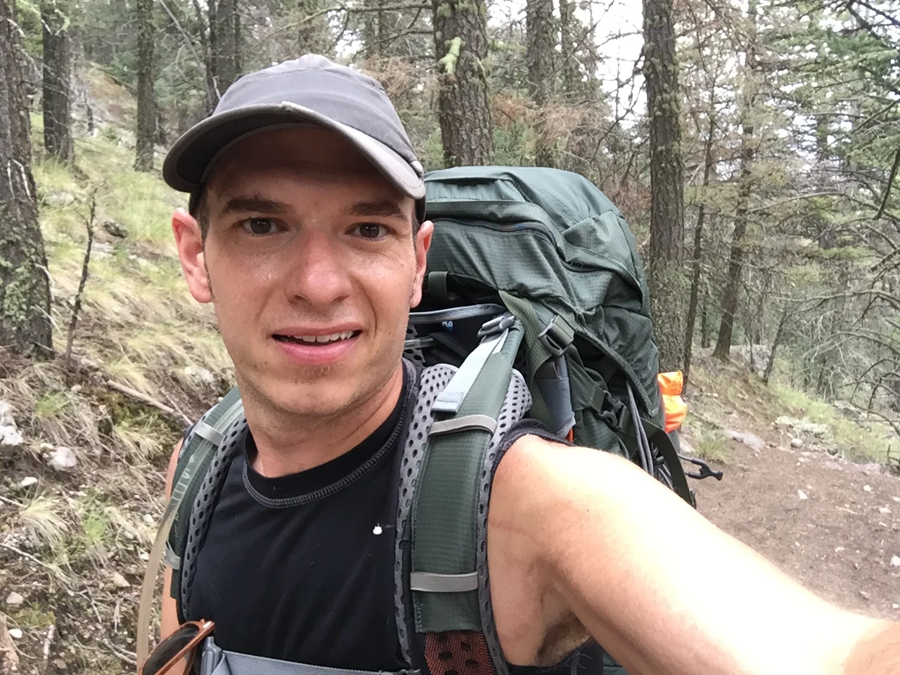
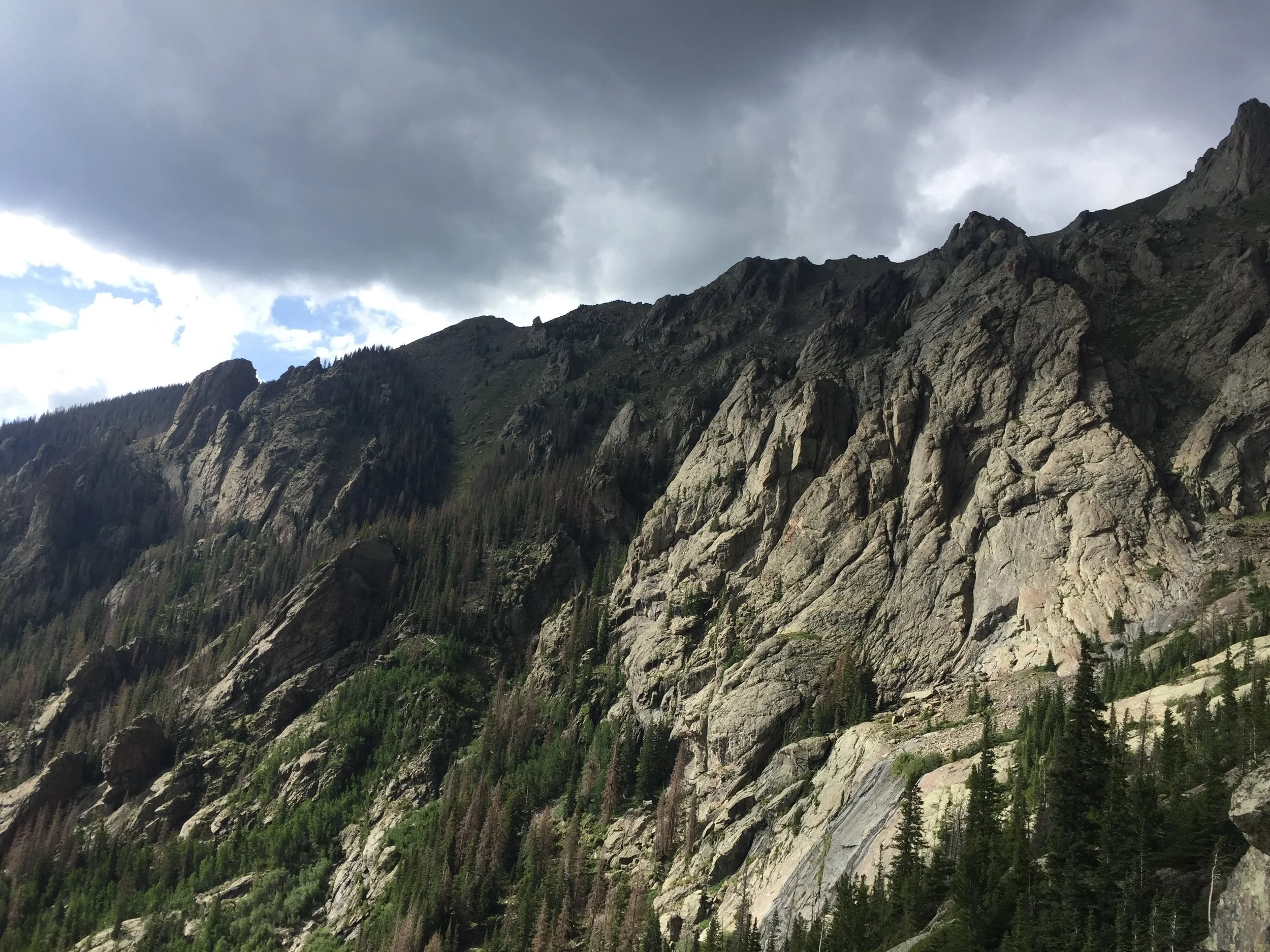
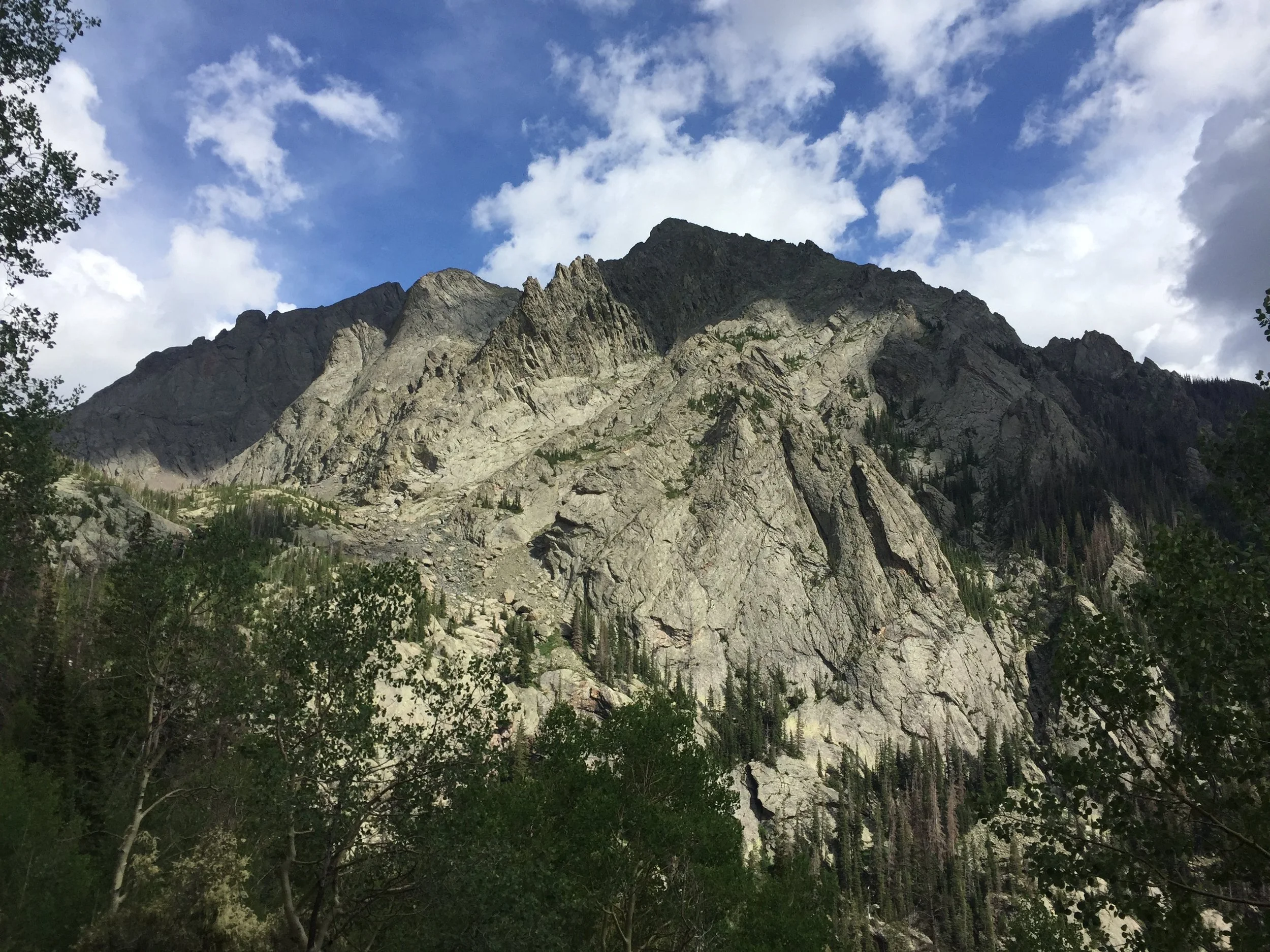
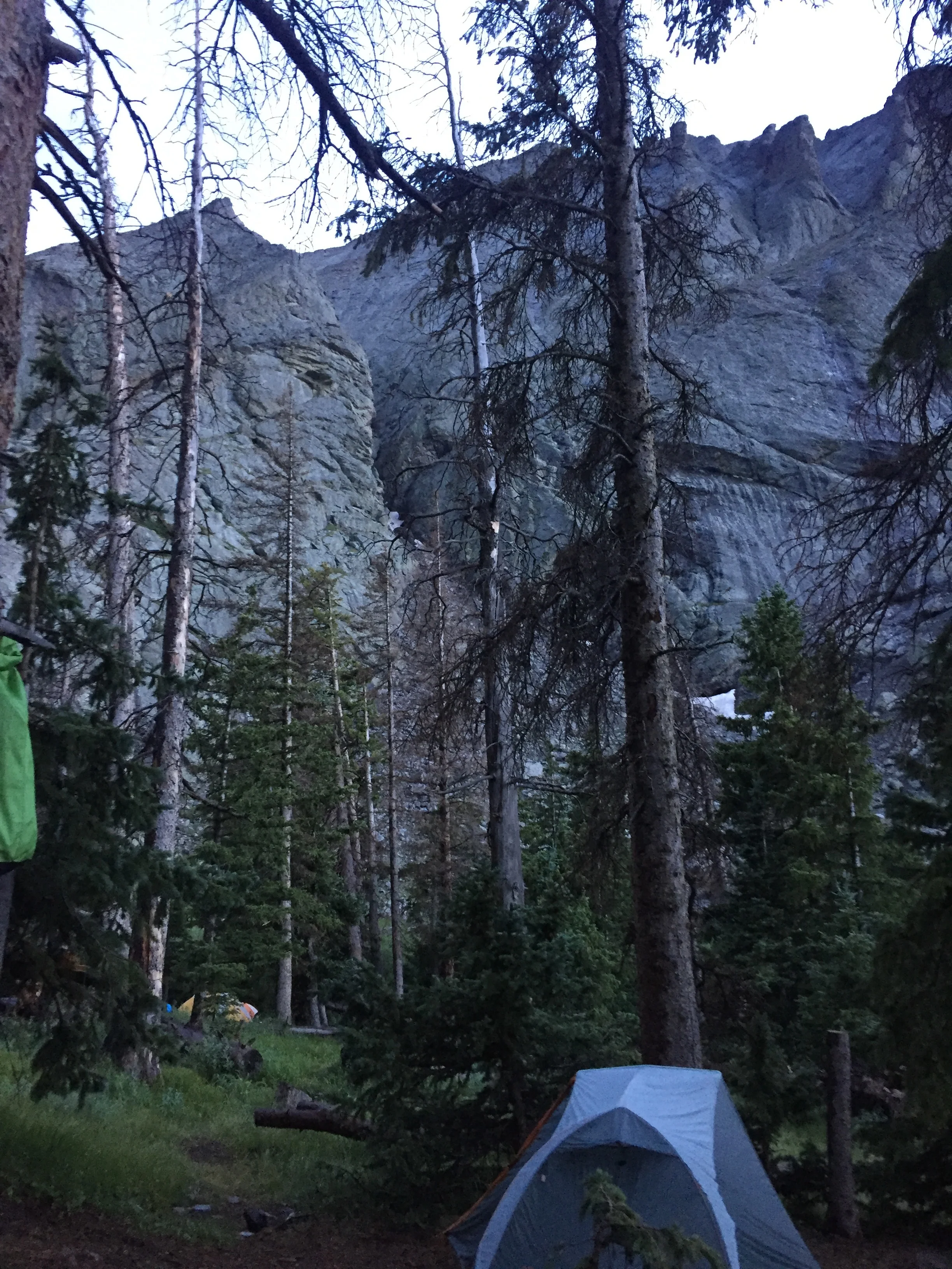
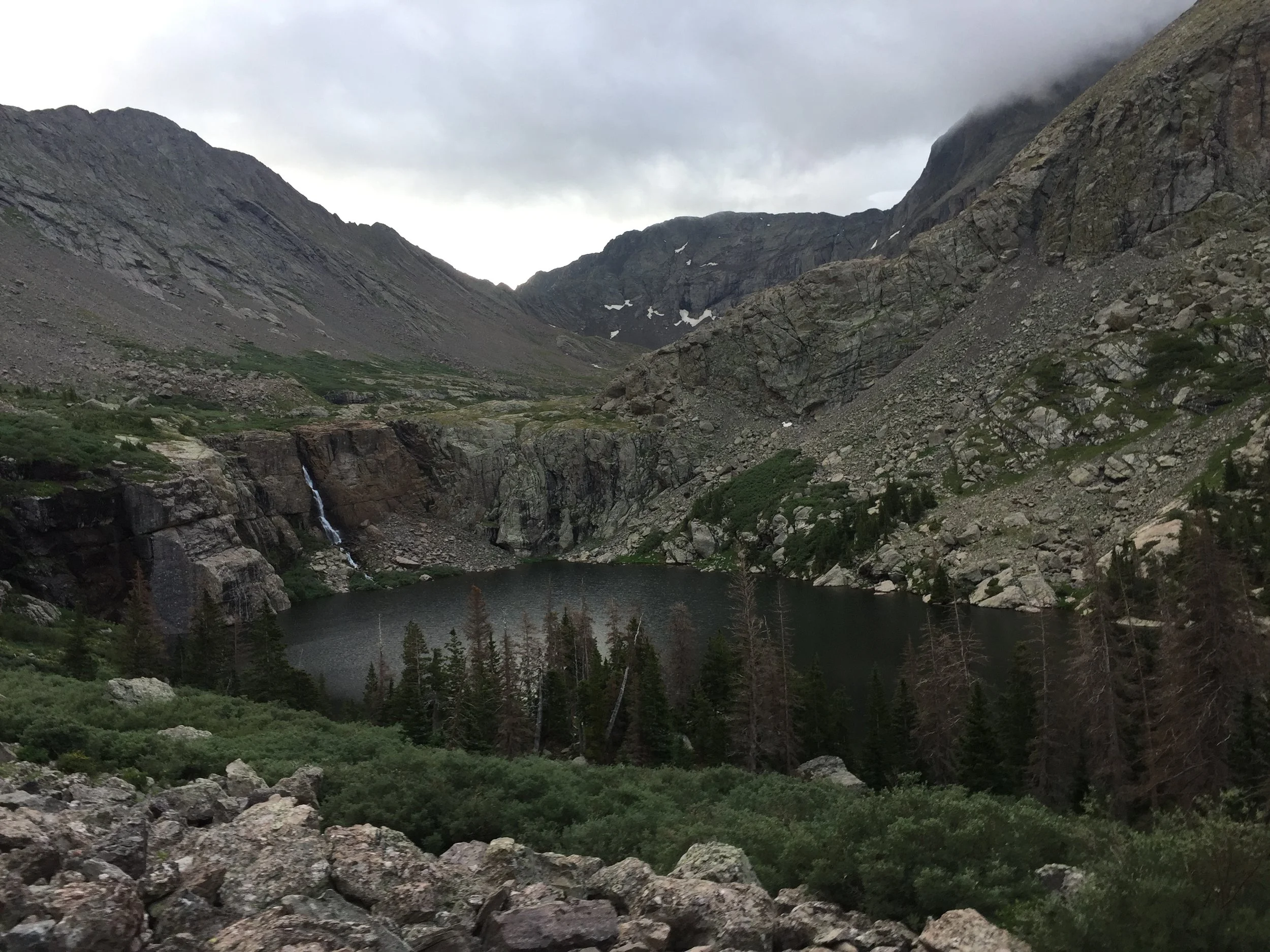
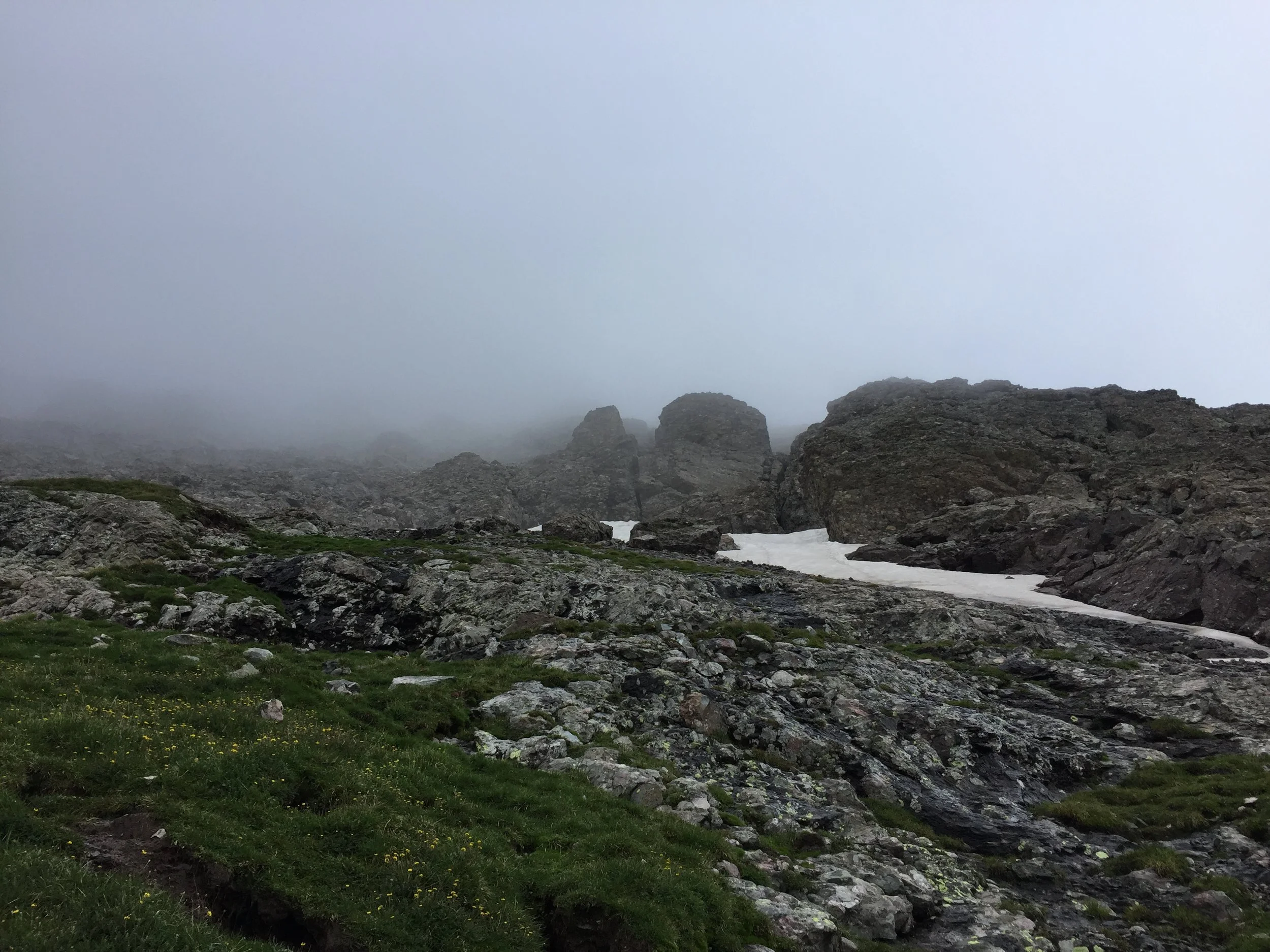
The drive from Crestone to the Willow Creek trailhead was cake in Bob the Jeep. I threw on the big pack and began the fairly gentle but hella-humid and sweaty approach up to Willow Lake. I only met a couple small groups headed down the trail and no one going up, which led me to believe I’d have a pretty easy time finding a campsite. The clouds were variable, which led to some really cool mixed light on the legendary Sangre conglomerate starting at around 11,000 ft. There are so many wonderful little waterfalls on this approach.
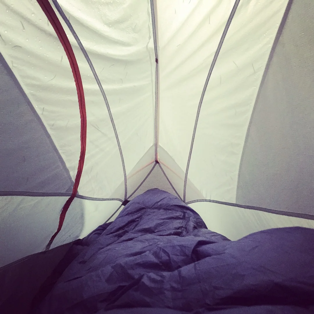
I quickly found a nice campsite encircled by tall evergreens and less than 200 ft. from the creek. I set up quickly and had my dinner ready by 6pm. I managed to get a few pictures of my little slice of paradise before it started raining at around 6:30. I figured it would be intermittent, and I’d have a chance to walk up to the lake to get some shots of the sunset. But it didn’t. Pretty much all night. I enjoyed the coziness of my little 1P cave and my ultra-comfy Enlightened Equipment quilt and tried desperately not to let the rain lull me to sleep too early. Bradbury short stories did the trick for a little while, but then I went down HARD. Camping at 11,700’ is no joke!
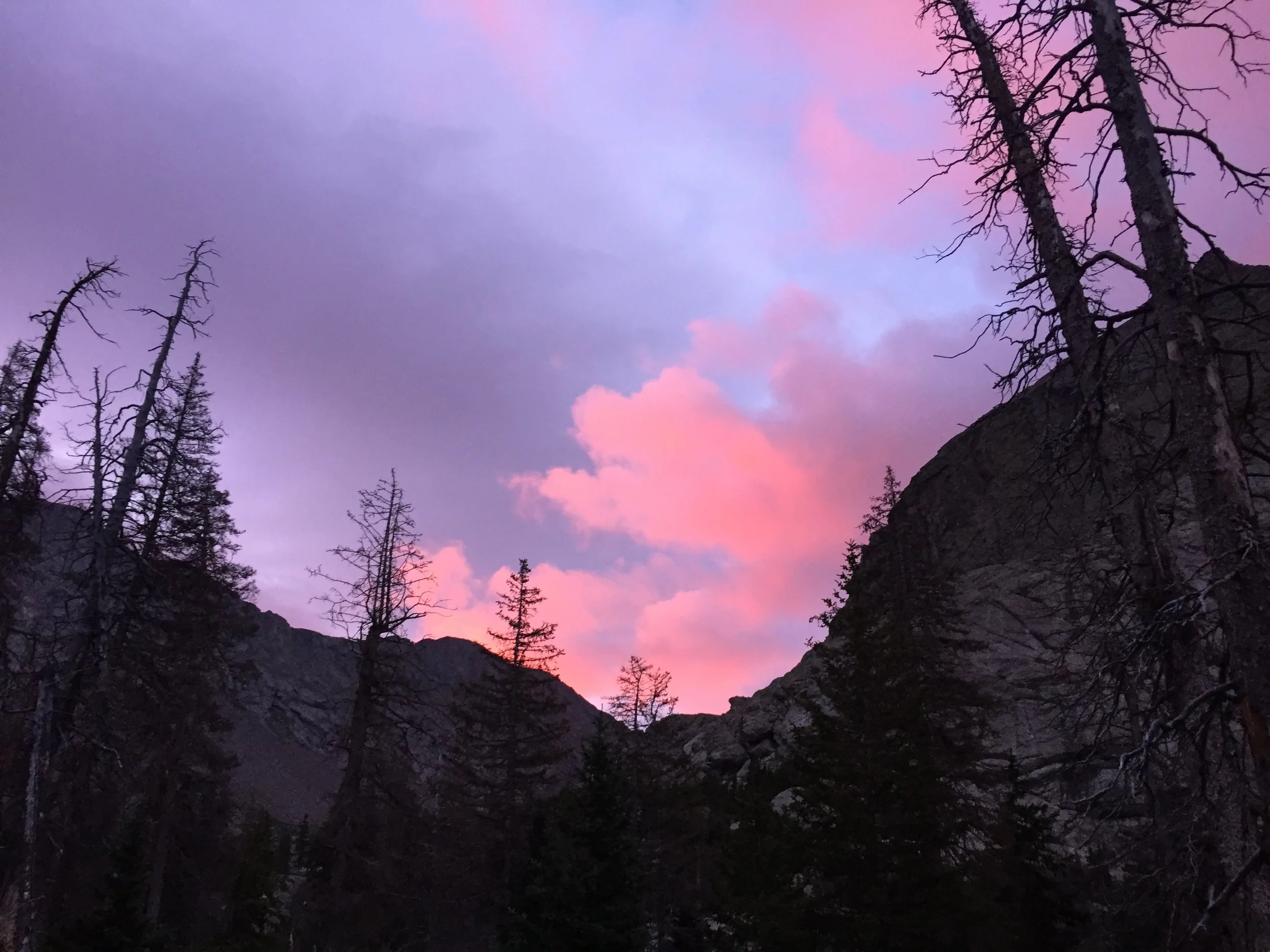
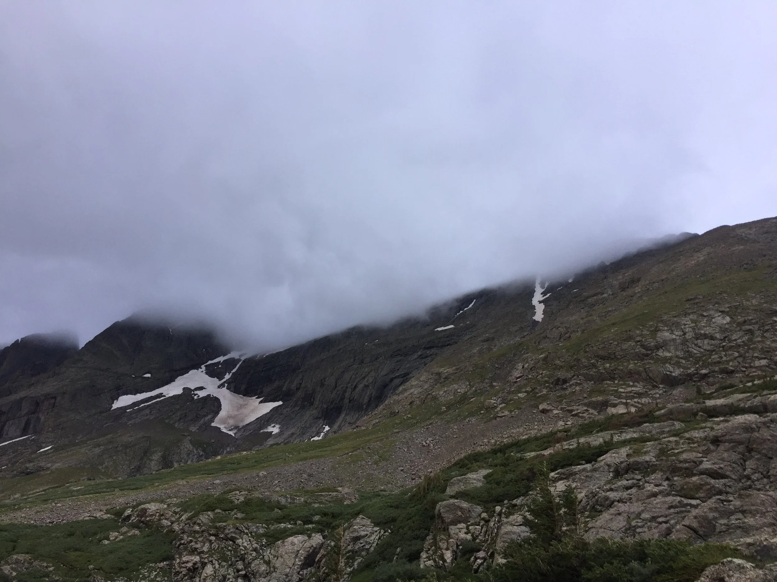
Pretty sure I got a ton of sleep, but when my alarm went off at a luxurious 6am, it sure as hell didn’t feel like it. My slacker tendencies were truly put to the test, but I was up and hiking by around 6:25. The early alpenglow was truly glorious on the clouds to the east, and the hike around Willow Lake was breathtaking. I began to get a little concerned, however, when I reached the far side of the lake. What should have been an inspiring view of both Challenger and Kit was completely shrouded way below where the ridgeline should have been. Into the great unknown I hiked.
Right around the time I reached the rock rib 500 ft. up from the lake, three things happened. I noticed a pretty large group of folks doing trail work (but not on the standard trail - hmmm, I’ll have to look into that...). I passed a group of four women who would be the only other hikers I’d meet today. And I entered the clouds and lost all but about 15 ft. of visibility.
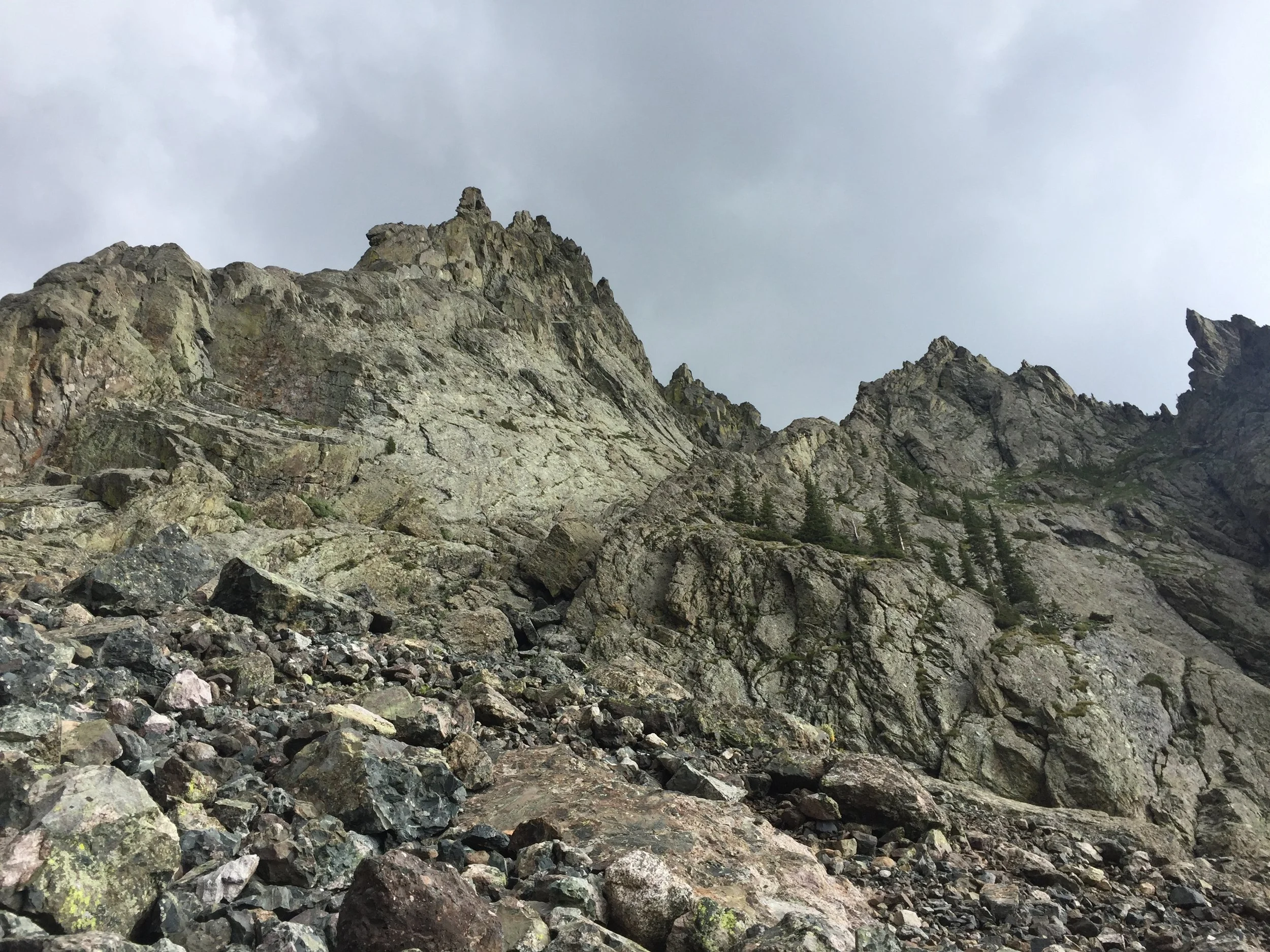
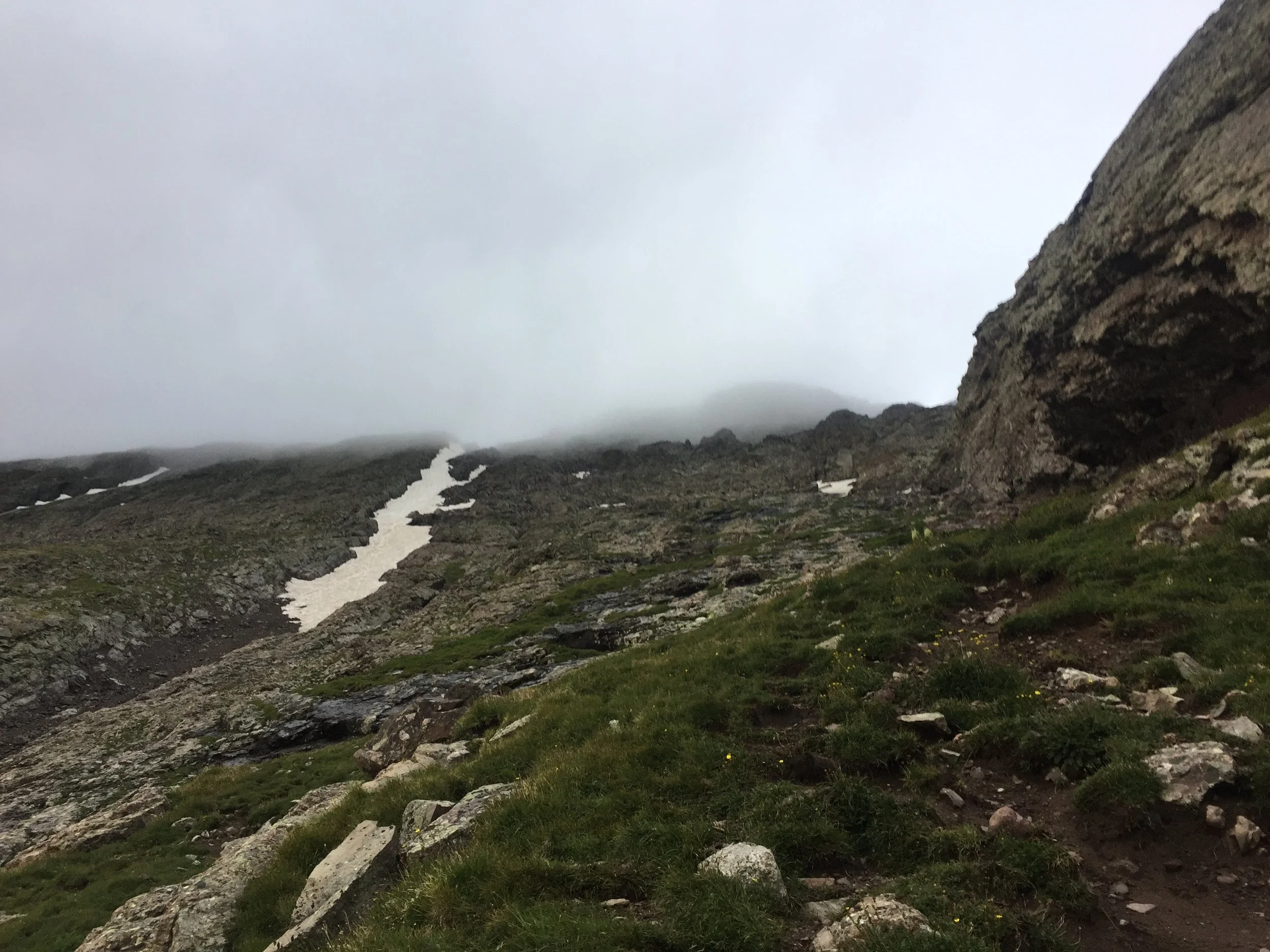
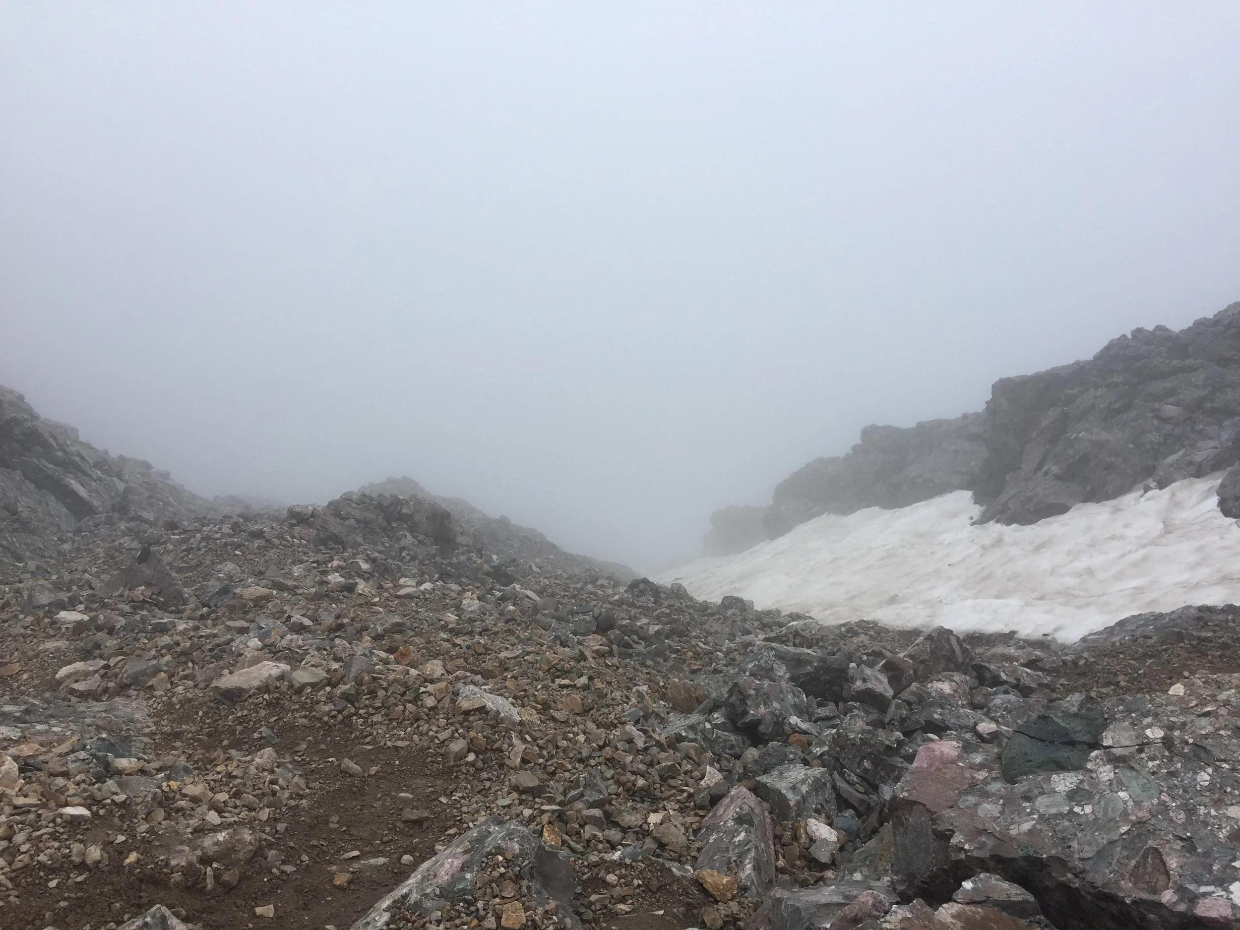
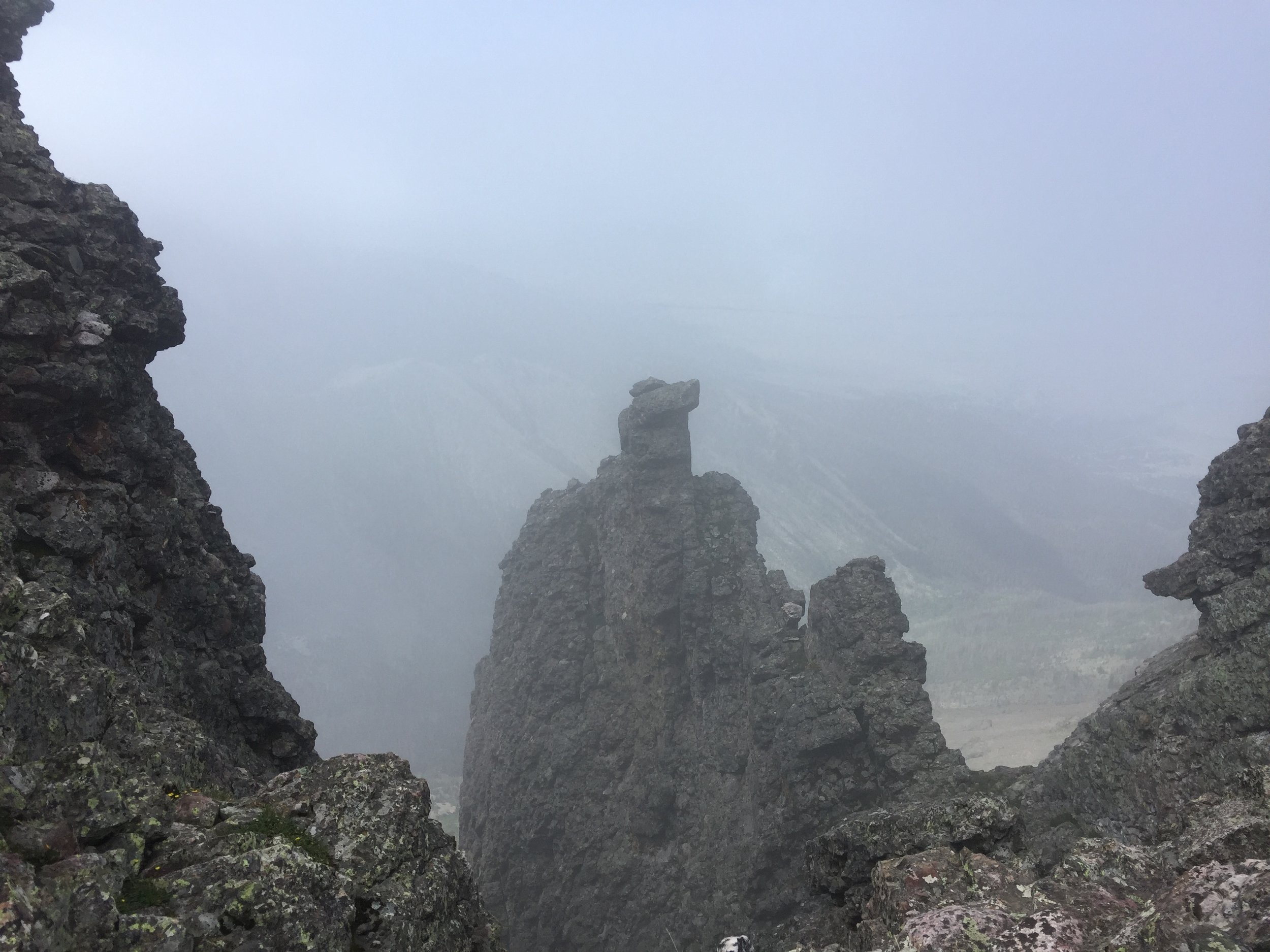
As much as I relish new experiences in the mountains, there was nothing very enjoyable about my remaining hike up to the ridge. It was impossible to make confident route decisions, as I couldn’t see where I was headed. I was constantly presented with the choice between loose gullies made muddy by the rain or slippery solid rock. I avoided the snow as much as possible, as it was icy as fuck and I hadn’t brought my spikes (I would’ve destroyed them in the mixed conditions, anyway).
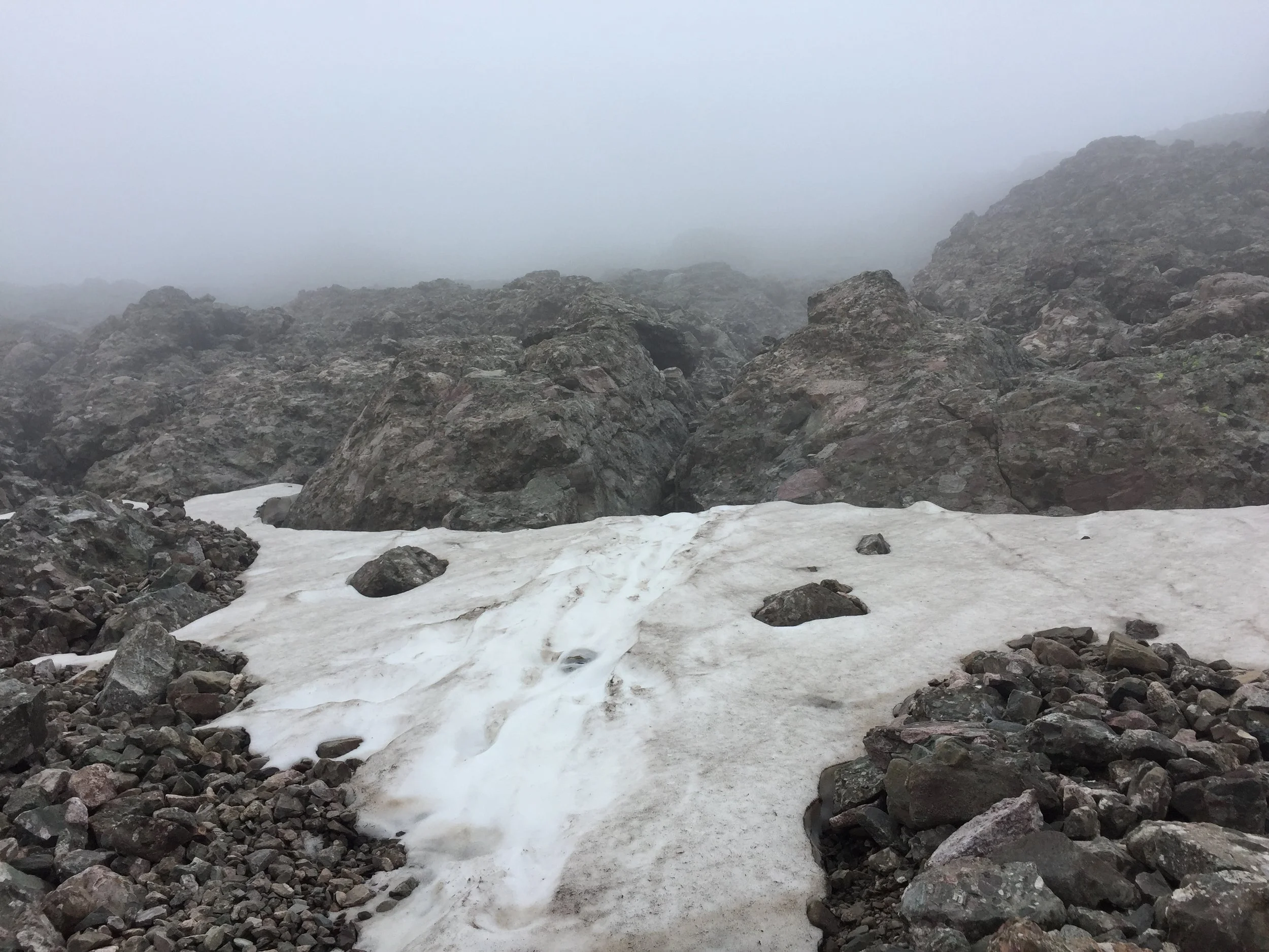
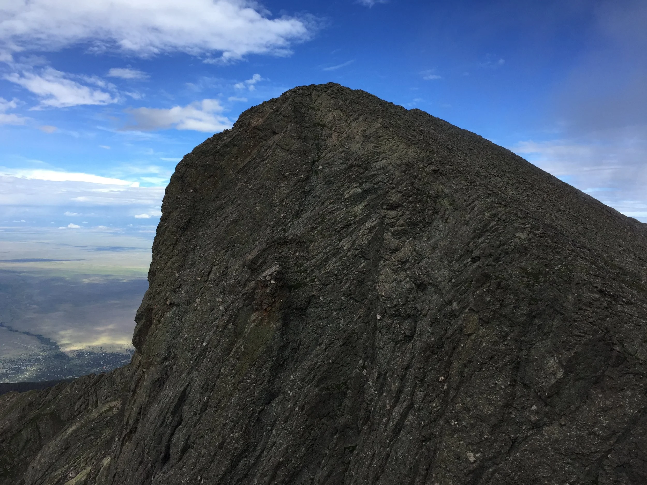
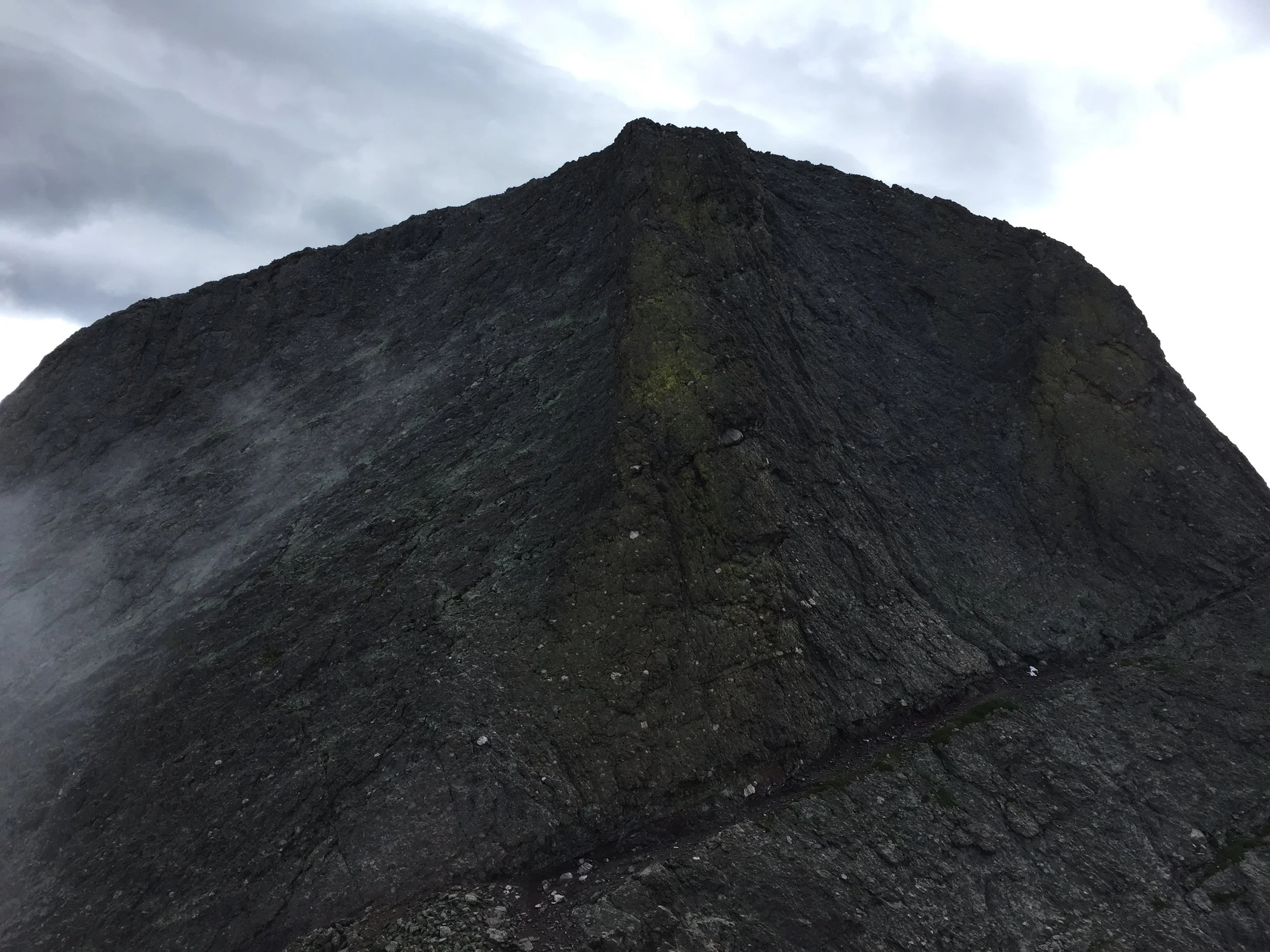
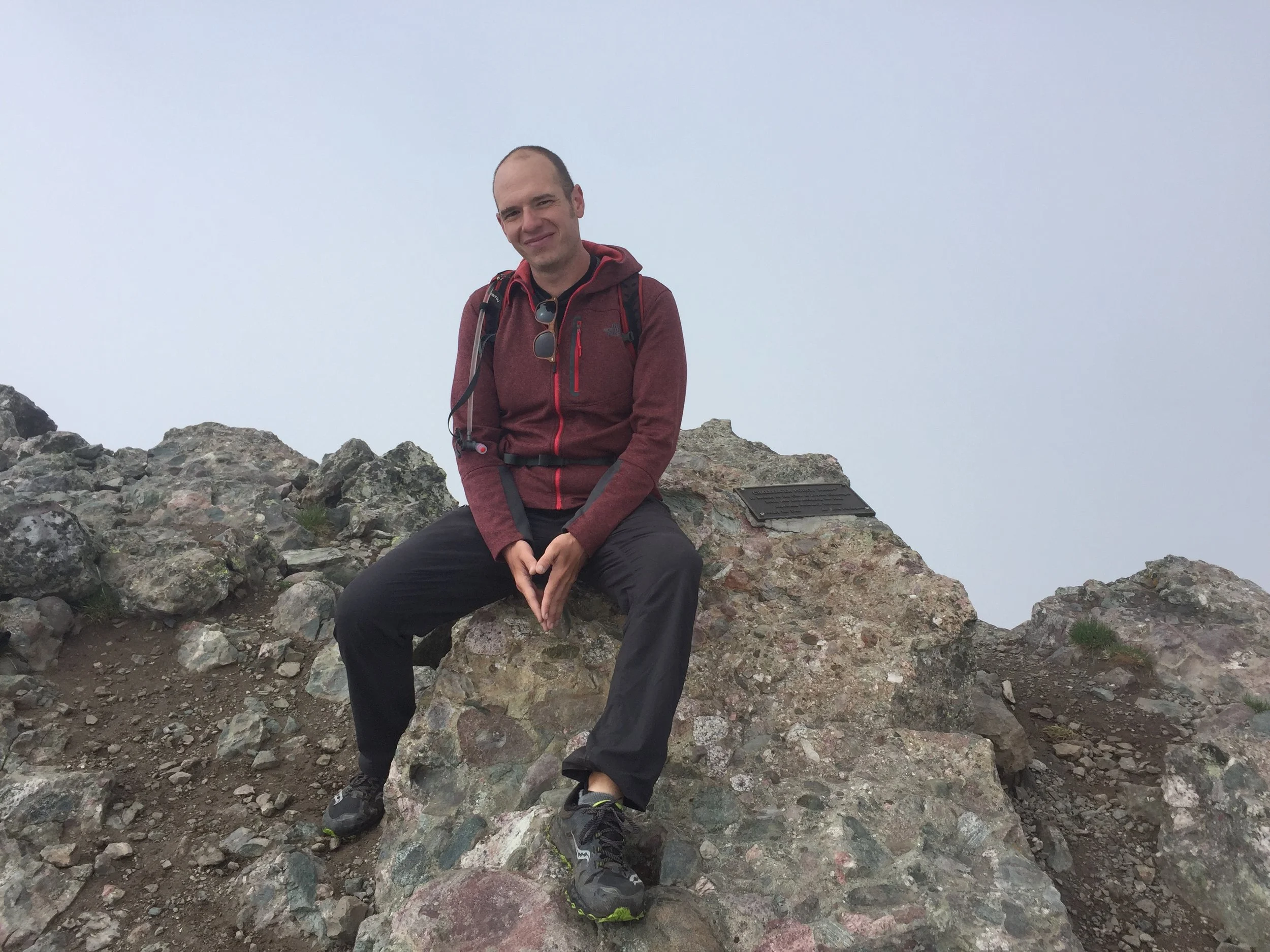
I’m convinced this battle was largely psychological. There’s no reason my legs should’ve felt as trashed as they did as I reached the end of that scramble. The lack of a view had left me feeling quite demoralized. Reaching the top of the gully and swinging over to the west side of the ridge for a bit helped considerably. As I reached the summit of Challenger, though, my mood would really start to brighten. It started with a few fleeting glimpses of the valley below. Then, the clouds began to break up enough to see them moving up and over the ridgeline, which was really fun rock to bound across. Finally, around 9am, I got this treat:
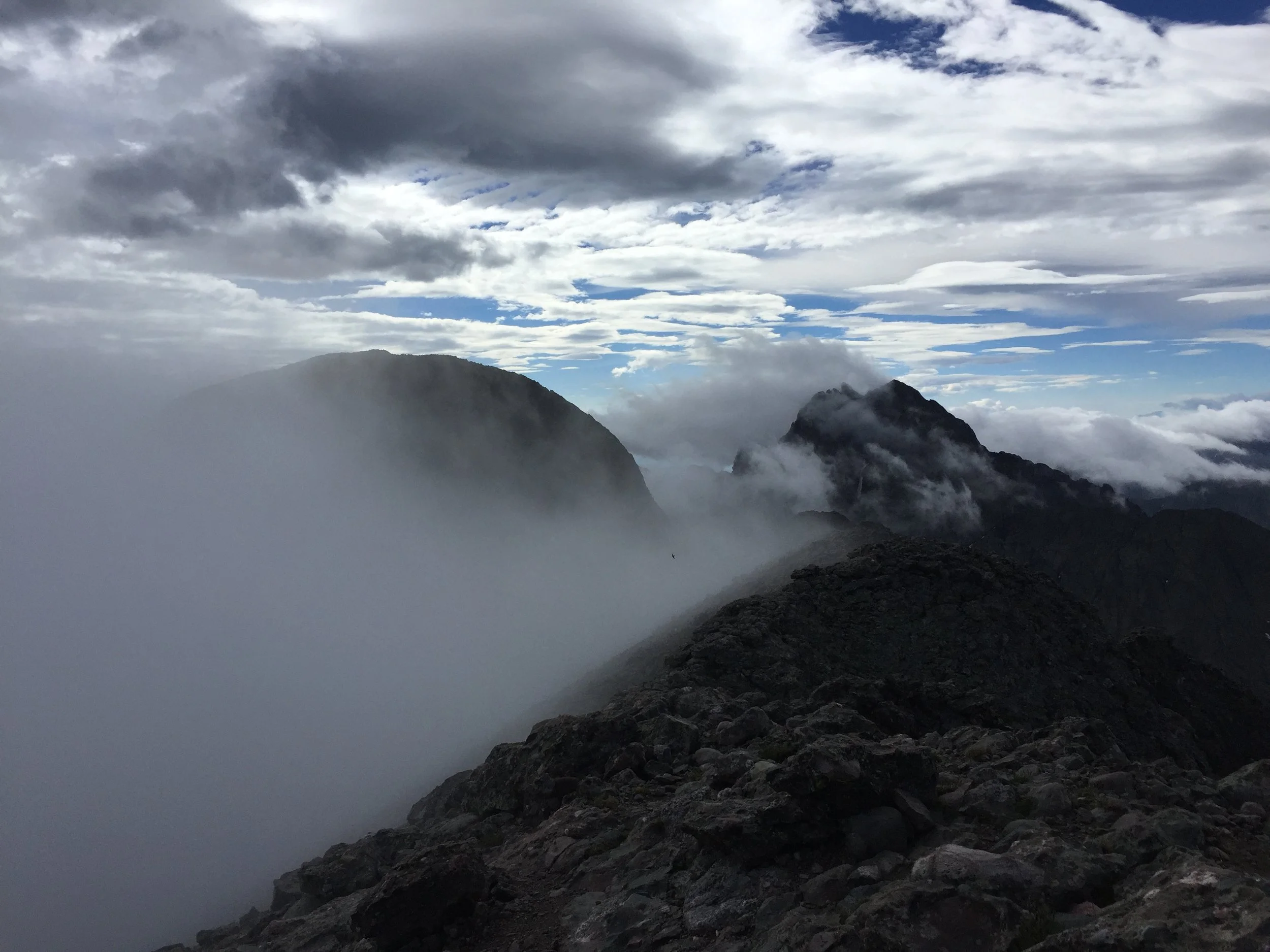
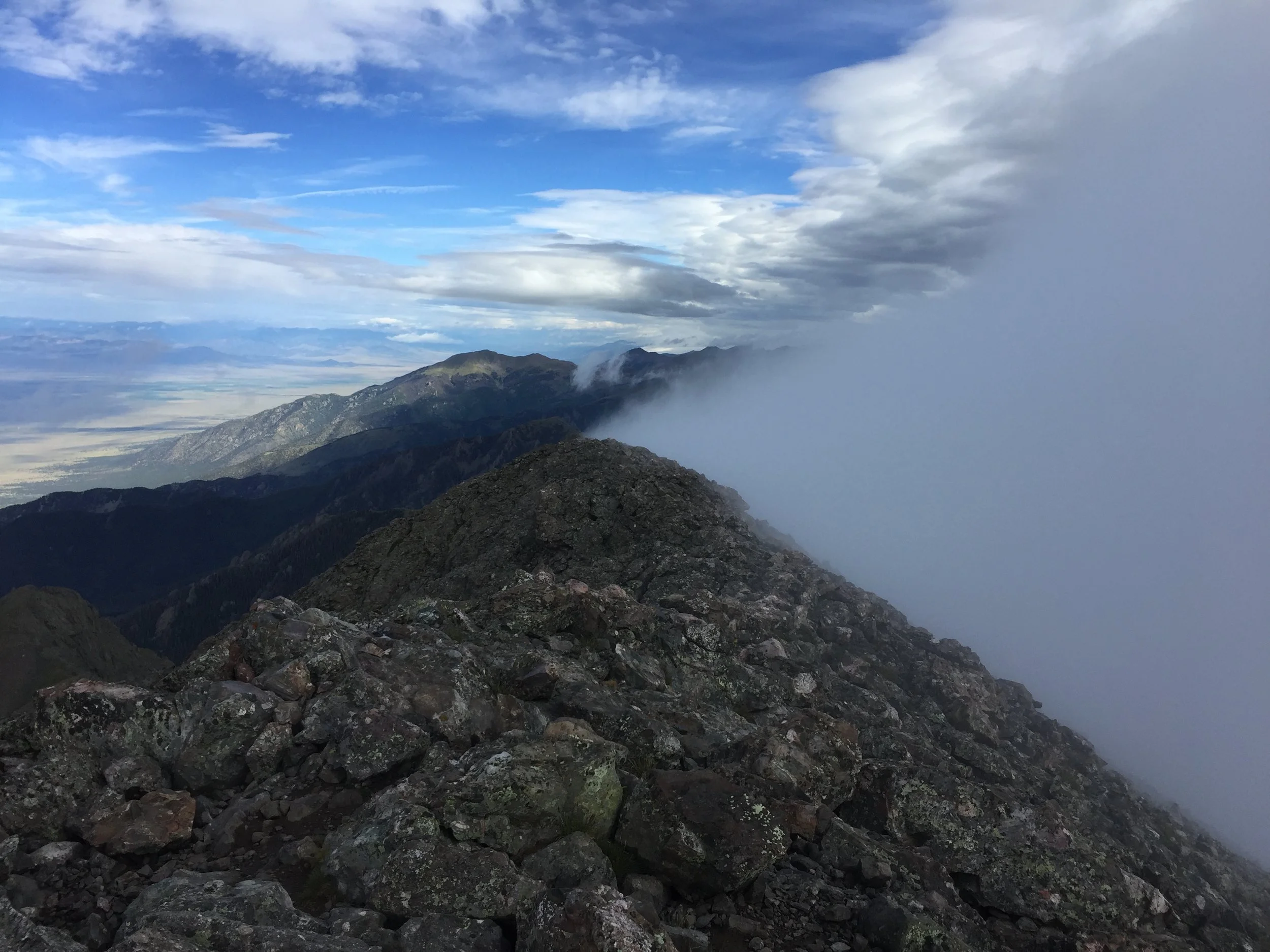
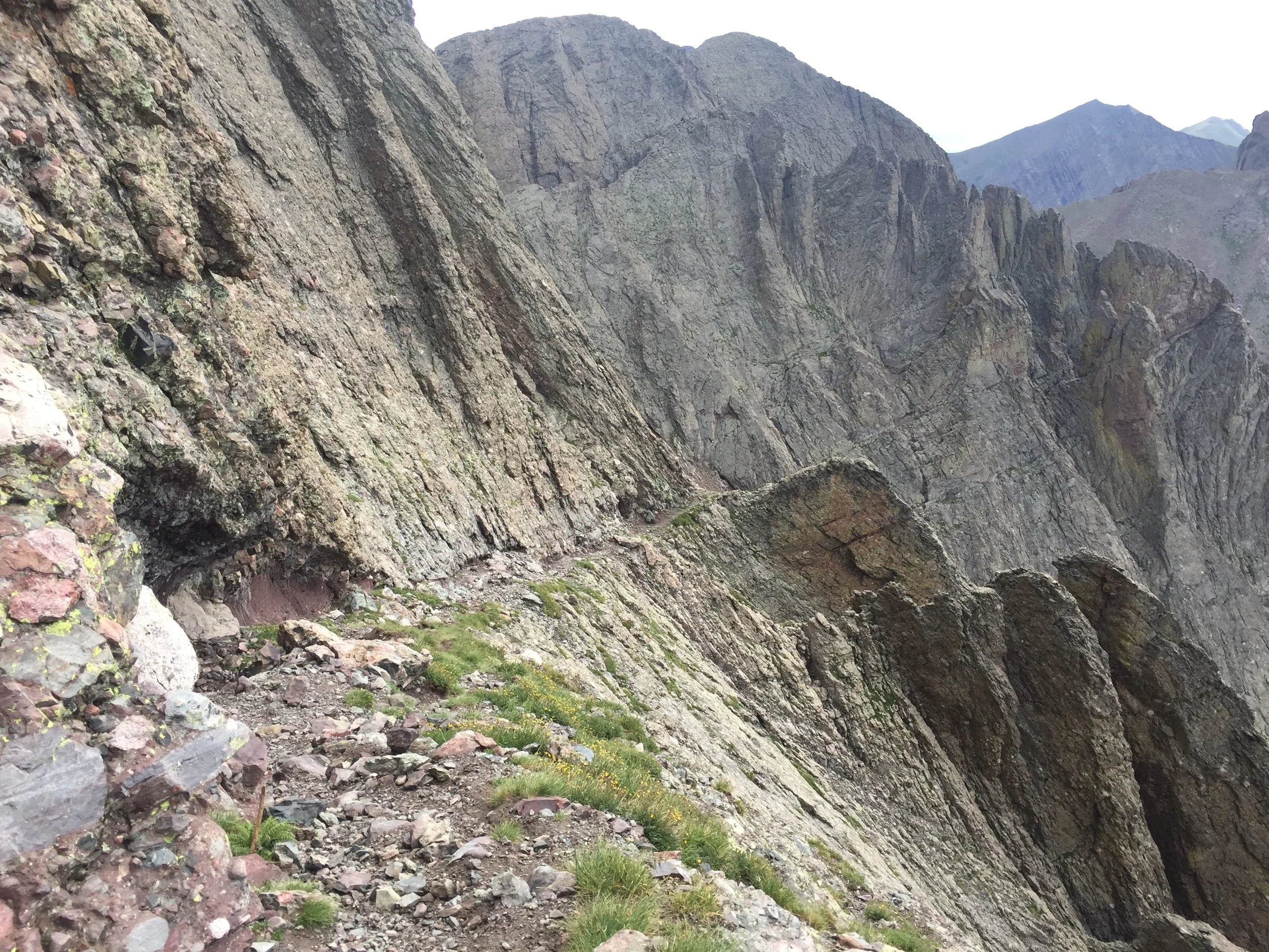
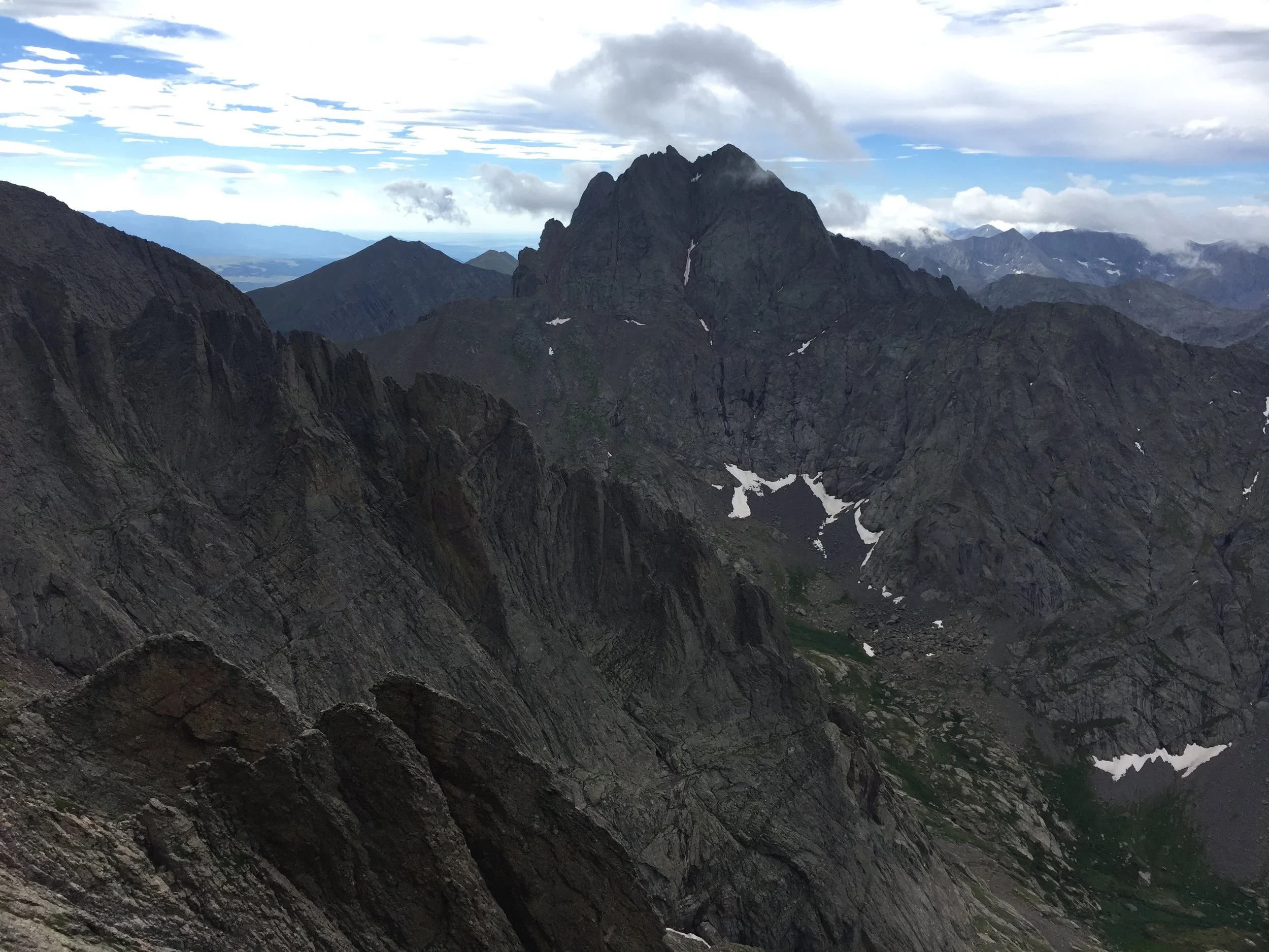
I’m really shocked at how tired I sound in that video, after less than 2 miles of hiking. At this point, the doubt that had weighed on me all morning lifted just a bit. I was motivated to push on and start the brief descent down to the saddle and “Kit Carson Avenue.” This was starting to resemble something more akin to fun. As I hiked the generous ledge around to Kit’s backside, I had insane views of the clouds breaking up around Crestone. So excited to try my hand at that beast soon!
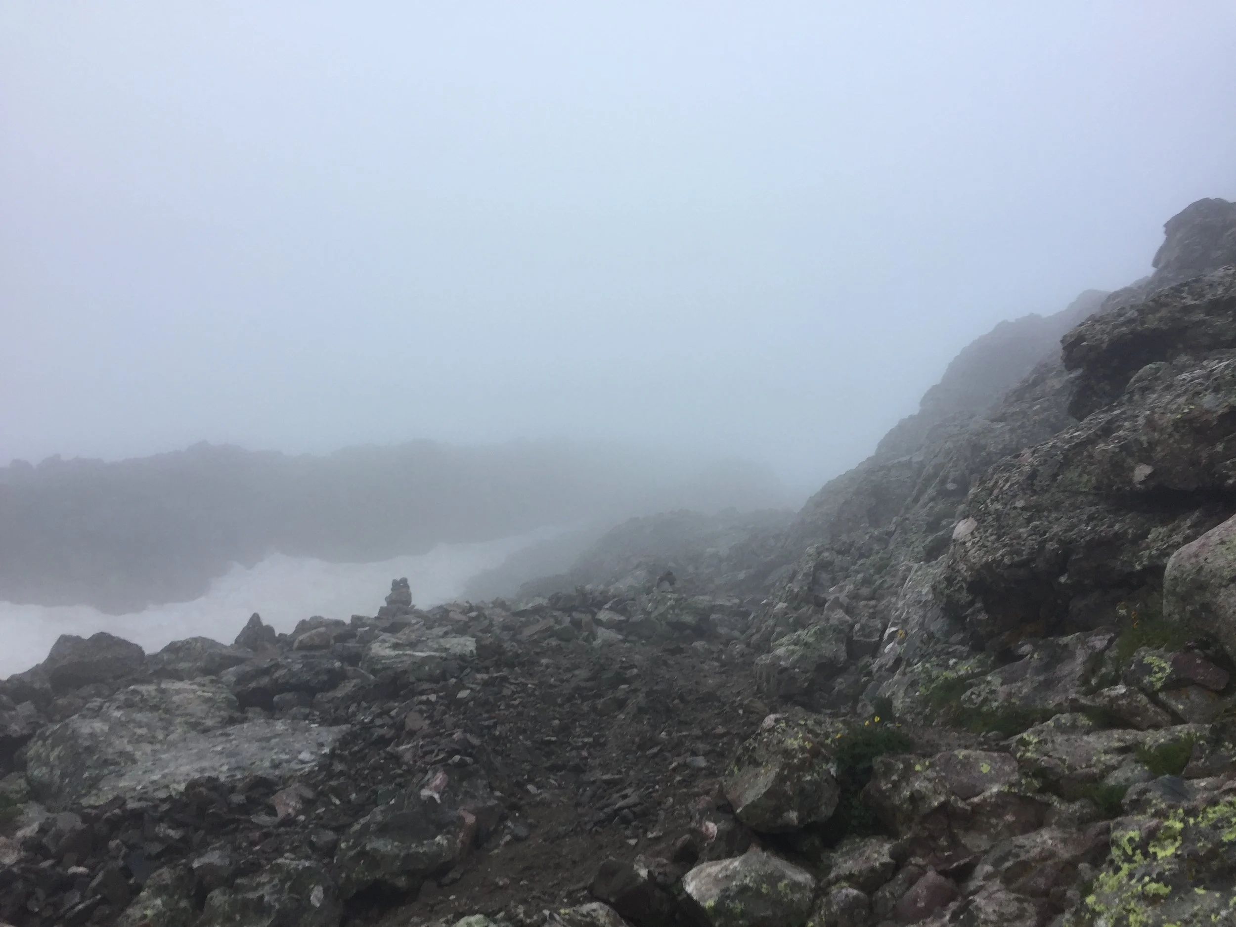
Unfortunately, this little window of inspiration and hope vanished as quickly as it had appeared. Clouds rolled back in from the west just as I was reaching the class 3 ascent up the gully to Kit’s summit. The visibility was suddenly just as bad as it had been on my way up Challenger. I considered all the information I had at that moment. There was no way for me to tell if dangerous thunderstorms were developing above the clouds enshrouding me. It was quickly approaching 10am, and storms have been brewing this early over the past couple weeks. There was no easy escape to treeline on this hike. Everything was completely exposed to lightning. I was at the most difficult section of the hike and I couldn’t see where I was headed. And upon reaching Kit’s summit I wouldn’t be able to see anything anyway...
I made a decision that I haven’t ever had to make on a 14er hike up to this point: I forfeited my summit attempt and turned around with only 450’ to go. Emotionally at this point I was just DONE. I had a lot of climbing to get back up to the saddle and over the top of Challenger again, which was hard to swallow. The women I had passed on my way up had just reached the Challenger summit when I returned. They had pretty much decided to call it a day, and when they asked me how things were farther around I was more than happy to laud their choice. The descent from there went rather quickly, as it was easier to see down through the clouds than it had been on the way up. It was still very slick and muddy, and I had to take care with every step.
When I had safely reached the waterfall by the lake, I took I nice long rest to finally enjoy that beautiful spot and consider what had gone wrong on this hike. I’m pretty sure I hadn’t packed enough food to eat the night before. Just sleeping at that elevation required more calories than I had anticipated. I had also been carrying a heavy pack up the approach and started right into incredibly steep scrambling shortly after waking up. I most certainly did not eat enough calories at breakfast. That in combination with the bleak conditions led to me crashing hard.
But the biggest issue was that I tried to make this hike fit into my schedule when there wasn’t an adequate window for the weather. No other factor will fuck a hike as hard as that in my experience. Next time I attempt Kit, I’ll look for a completely clear day and do the whole thing in one day, all 14.5 miles and 6,250 ft. of it because I know I can.

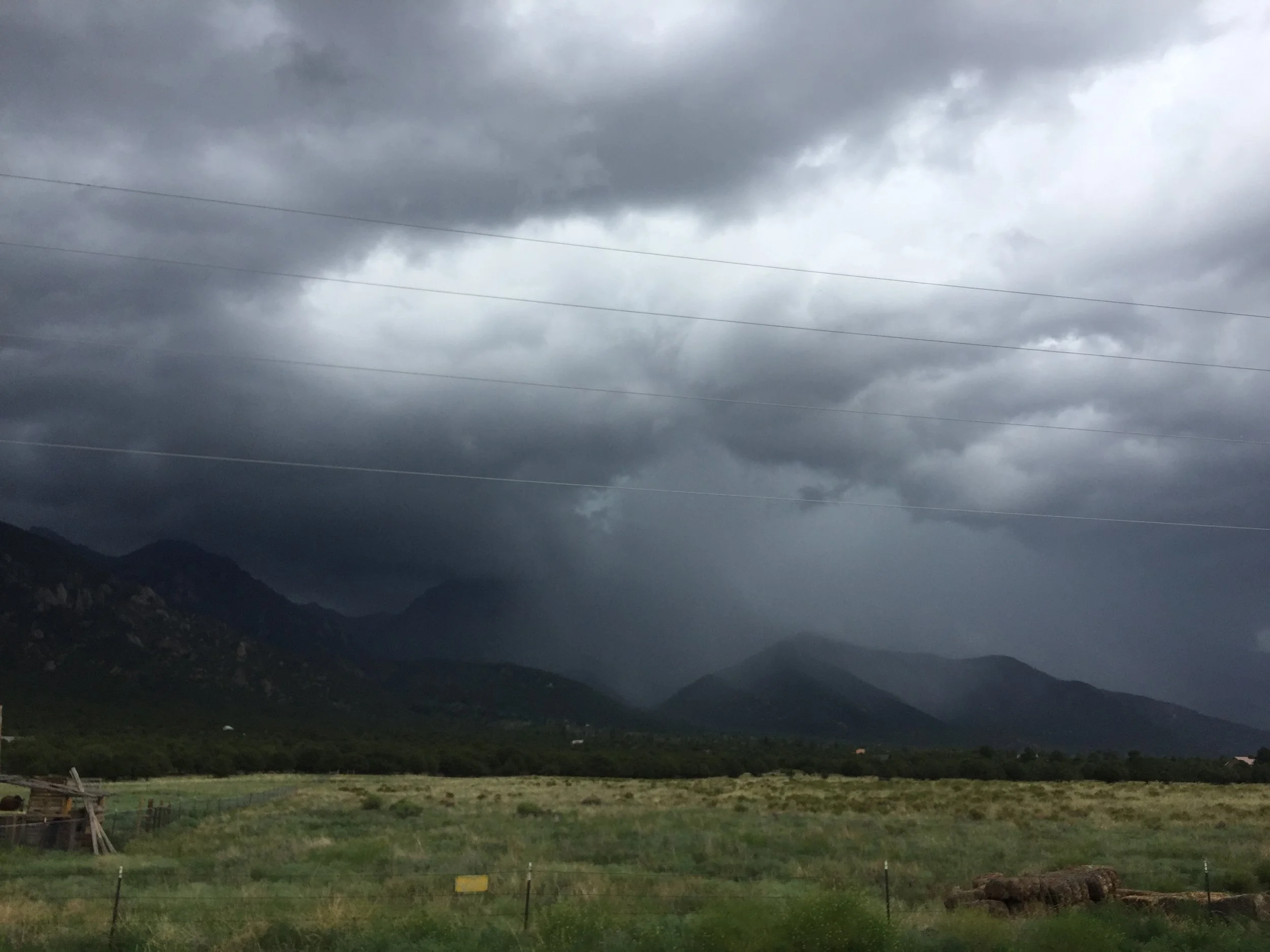
(The first pic in the grid above looks like the mountain is giving me a big ol’ middle finger, which is truly how I felt most of the day. And the last pic shows those clouds finally unleashing their fury just 15 minutes or so after I returned to the Jeep. Satisfied with my decision. Mostly...🤬)
The stats
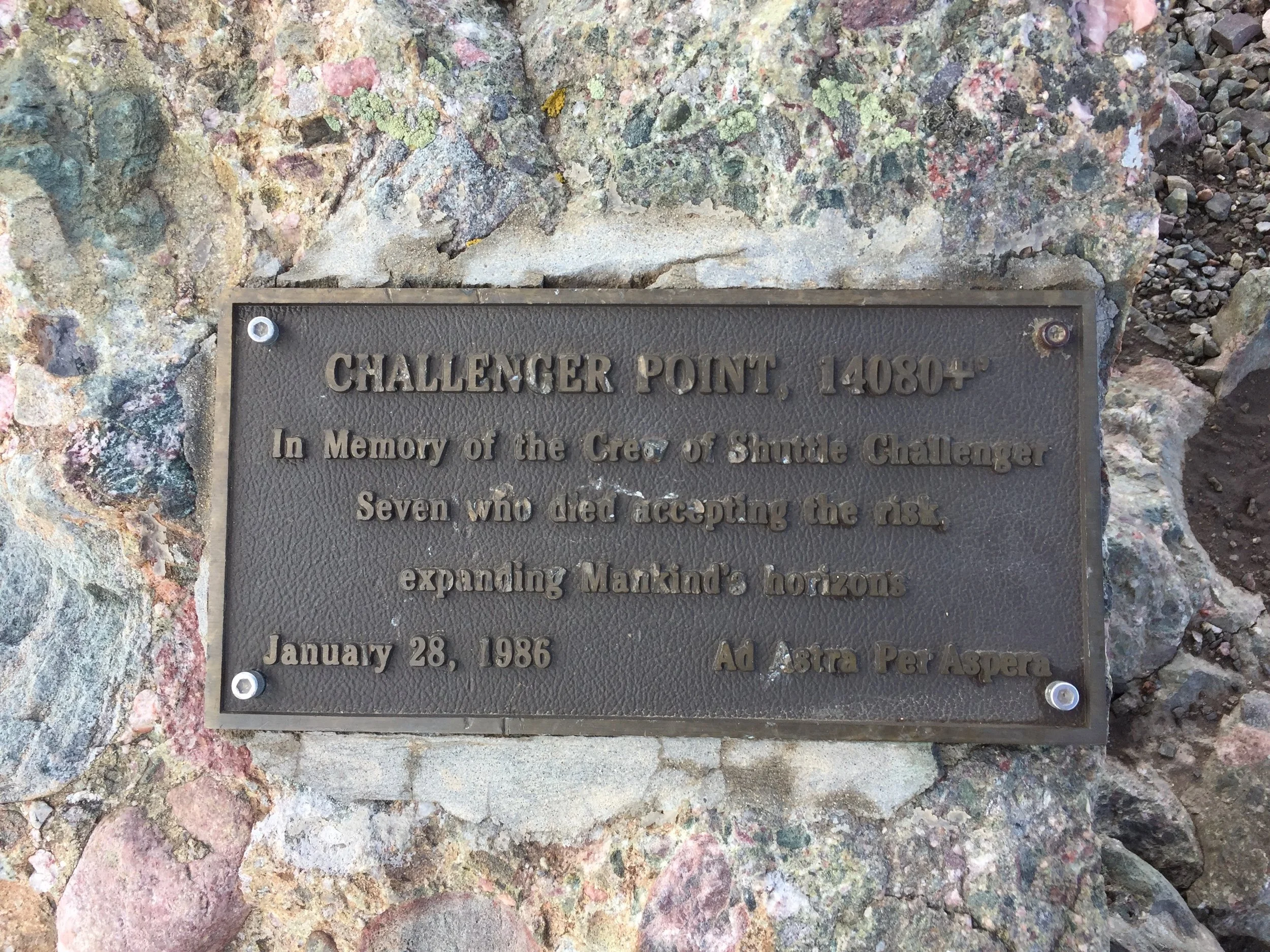
Challenger Point: 14,081 ft (#34 in CO)
Distance: 13.5 miles
Gain: 5800 ft.
My 29th 14er
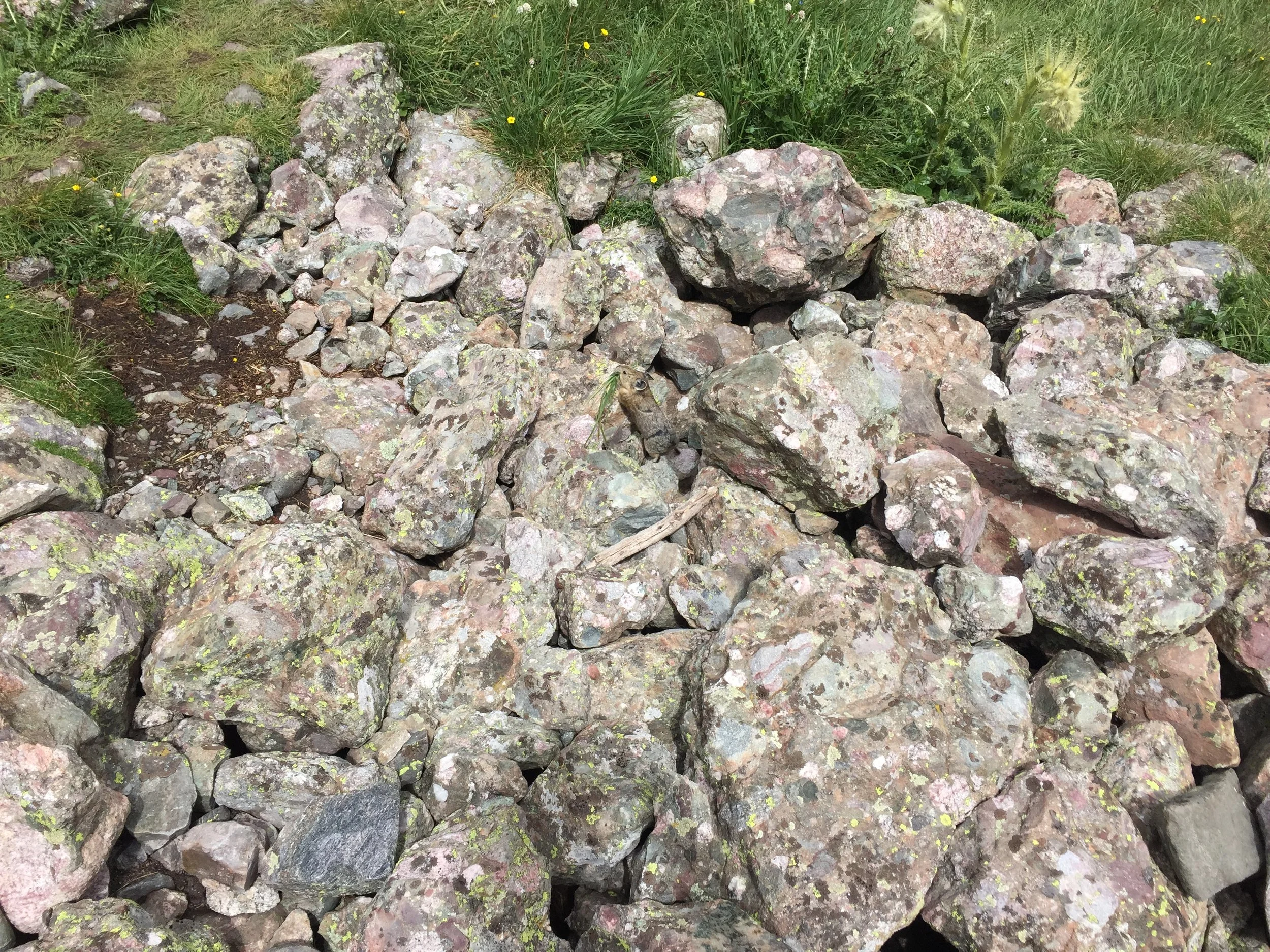
UPDATE! I discovered that the trail workers I saw to the right of the gully on Challenger were working on a completely new trail up to the ridge. Even more of a reason to go back when they’re done!