Missouri Mountain West Ridge, Iowa Peak & Emerald Peak

This is the second consecutive summer that my final Sawatch summit would turn out to be Missouri. And like last year, this hike was a not-so-standard way to go about it. Since Mom and I had already bagged Belford and Oxford, and she was still looking to get Missouri, we decided to try the west ridge route to avoid covering too much of the same ground. The big factor here is not so much a hiking question (it’s class 2 max), but the epic water crossing at Rockdale that often prohibits passage to the Clohesy Lake 4wd road. We had been closely following vague condition reports for the crossing all last month and finally saw a couple that suggested it was safe for our stock Wrangler Sport to give it a go.
Another day, another 4am start, but I was happy for some company and a much shorter approach drive after Castle-Conundrum a couple days ago. We happily drove by the already crowded Missouri Gulch TH parking lot shortly after 5am. Despite having basically no light to help us, we managed to find all our landmarks and the entry point to the water crossing. This one is unique in our experience in that, rather than going straight across, one must actually turn into the flow of the creek and follow it for a short distance, locate an exit point, then cross another stream to a very steep and rocky exit. I wish I had my own video of this, but it was too dark in the morning, and I was driving on the way back. Needless to say, Mom nailed it. And Bob the Jeep is a fucking stud!
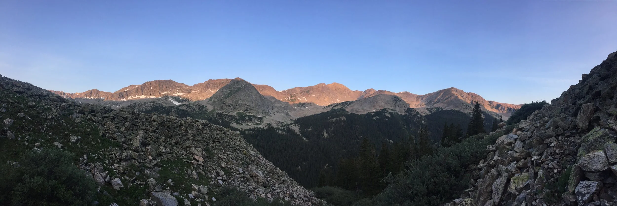
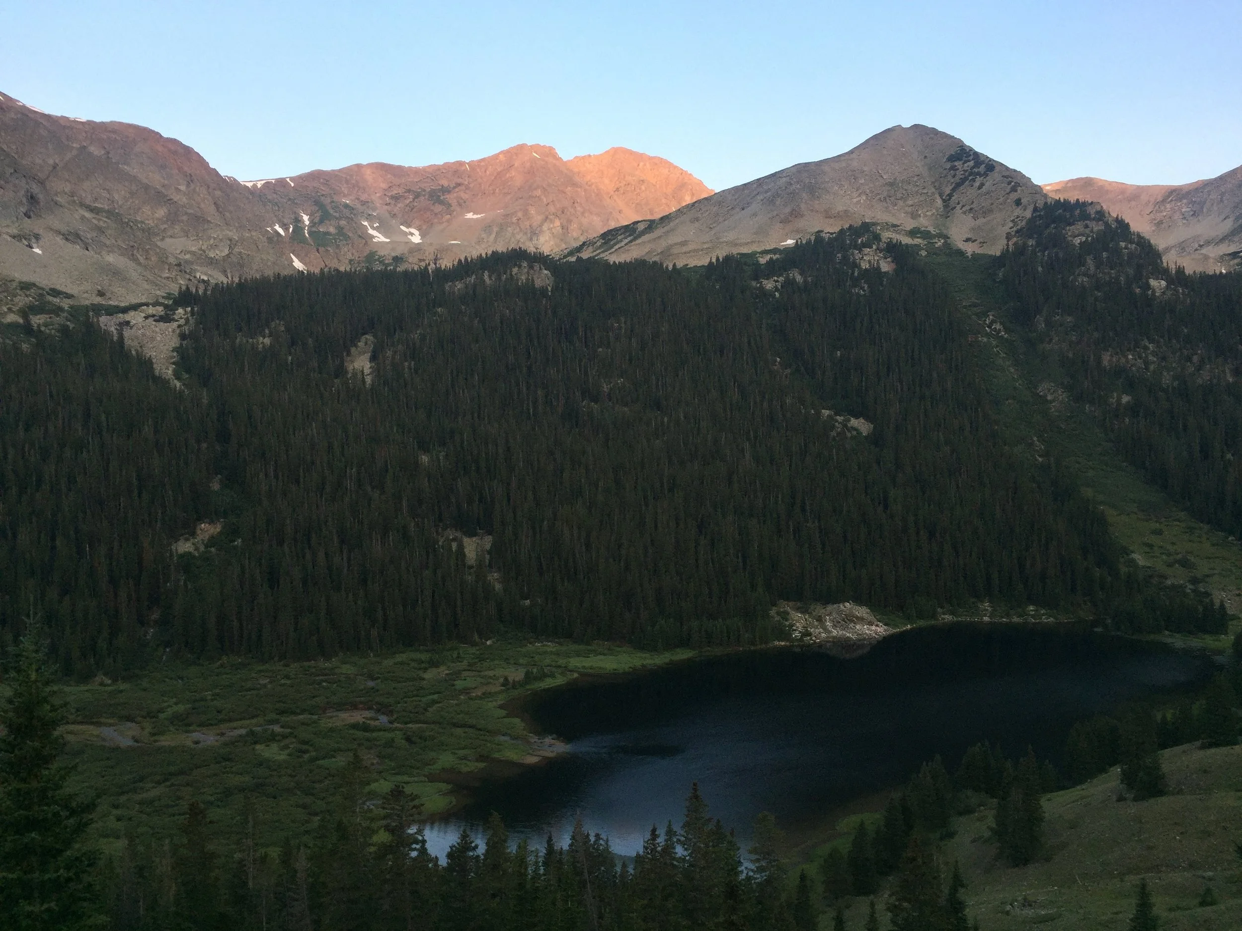
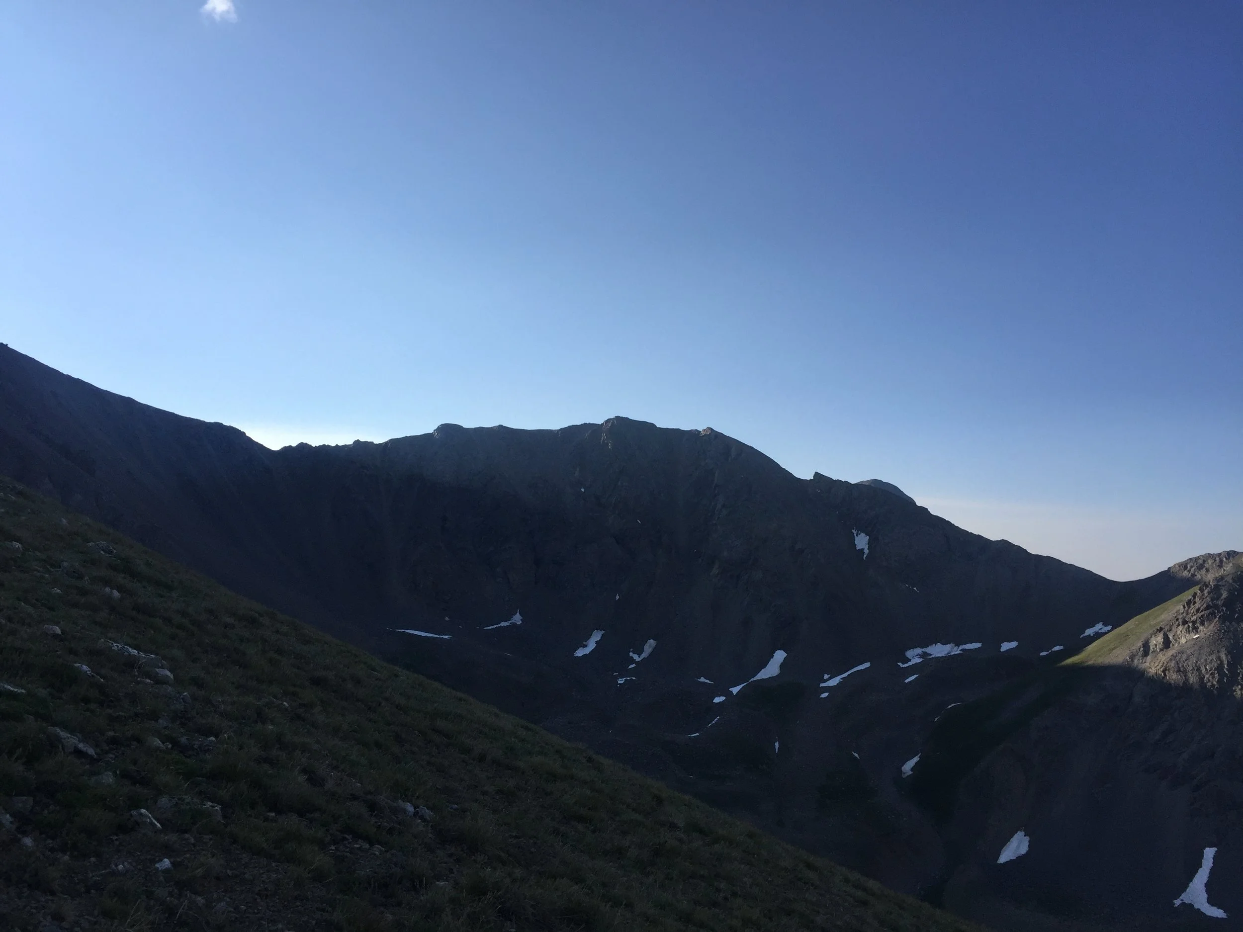
The remainder of the road to Clohesy Lake was rough and rocky, including a bit of a scree field to traverse, but nothing we hadn’t seen before. We were parked and hiking by a little after 6am. As usual, we both went at our own pace, but we certainly were both able to enjoy an increasingly amazing view of tranquil Clohesy Lake as we followed the trail to treeline. The alpenglow on Huron Peak above us to the west was absolutely stunning. I still find that mountain to be among the most aesthetically perfect peaks in Colorado, and it certainly put on a show for us this morning.
At one point shortly before reaching treeline, I realized I had taken a wrong turn onto a game trail that suddenly disappeared. The main trail does indeed split, and I had taken the shorter and steeper option, but this wasn’t right. I knew I was supposed to rejoin the other trail by a stream running along a boulder field, so, hearing the faint sound of running water, I decided to push through the thickening trees. Thankfully my instincts were right on and I found the trail. Whew!
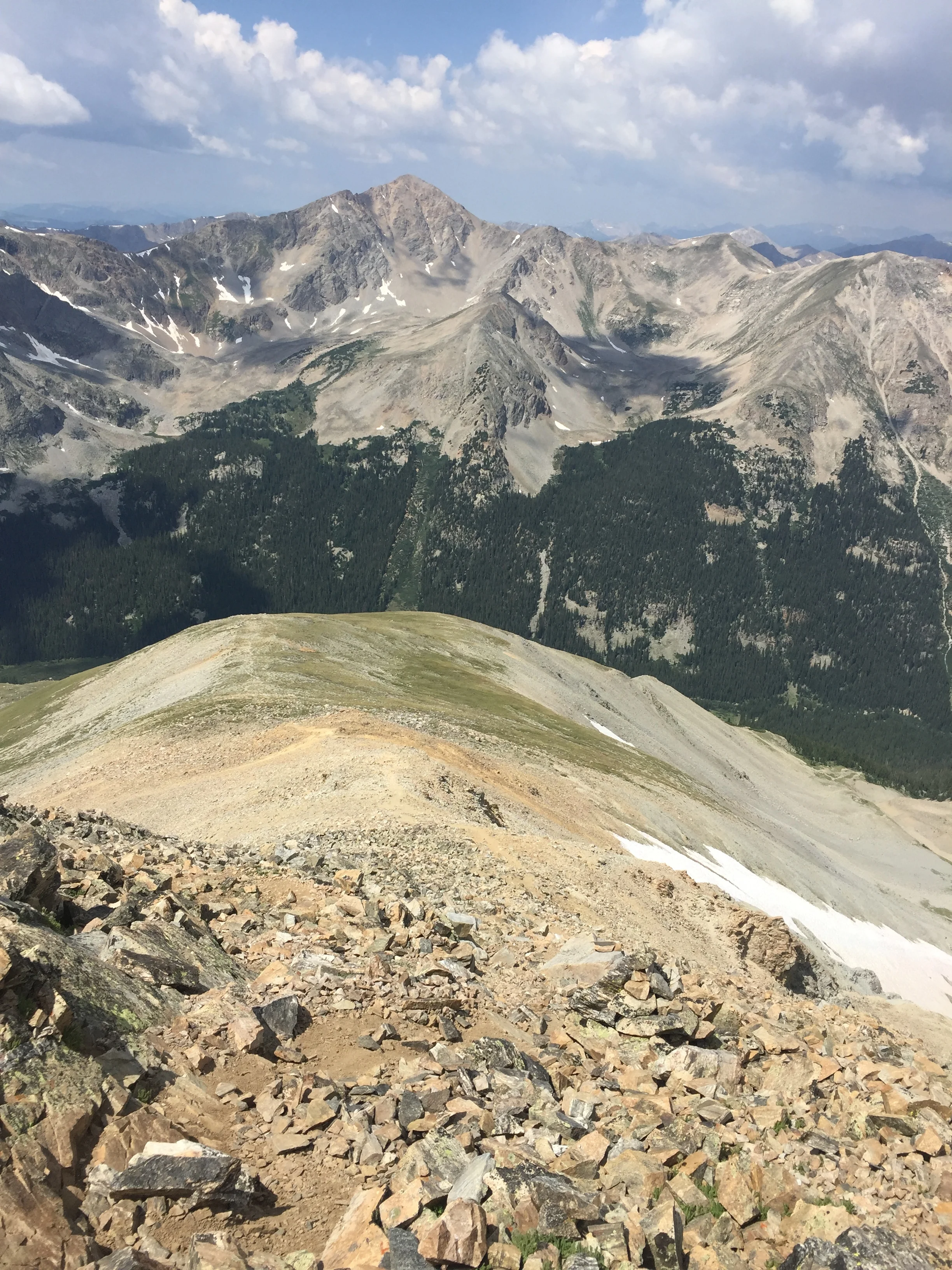
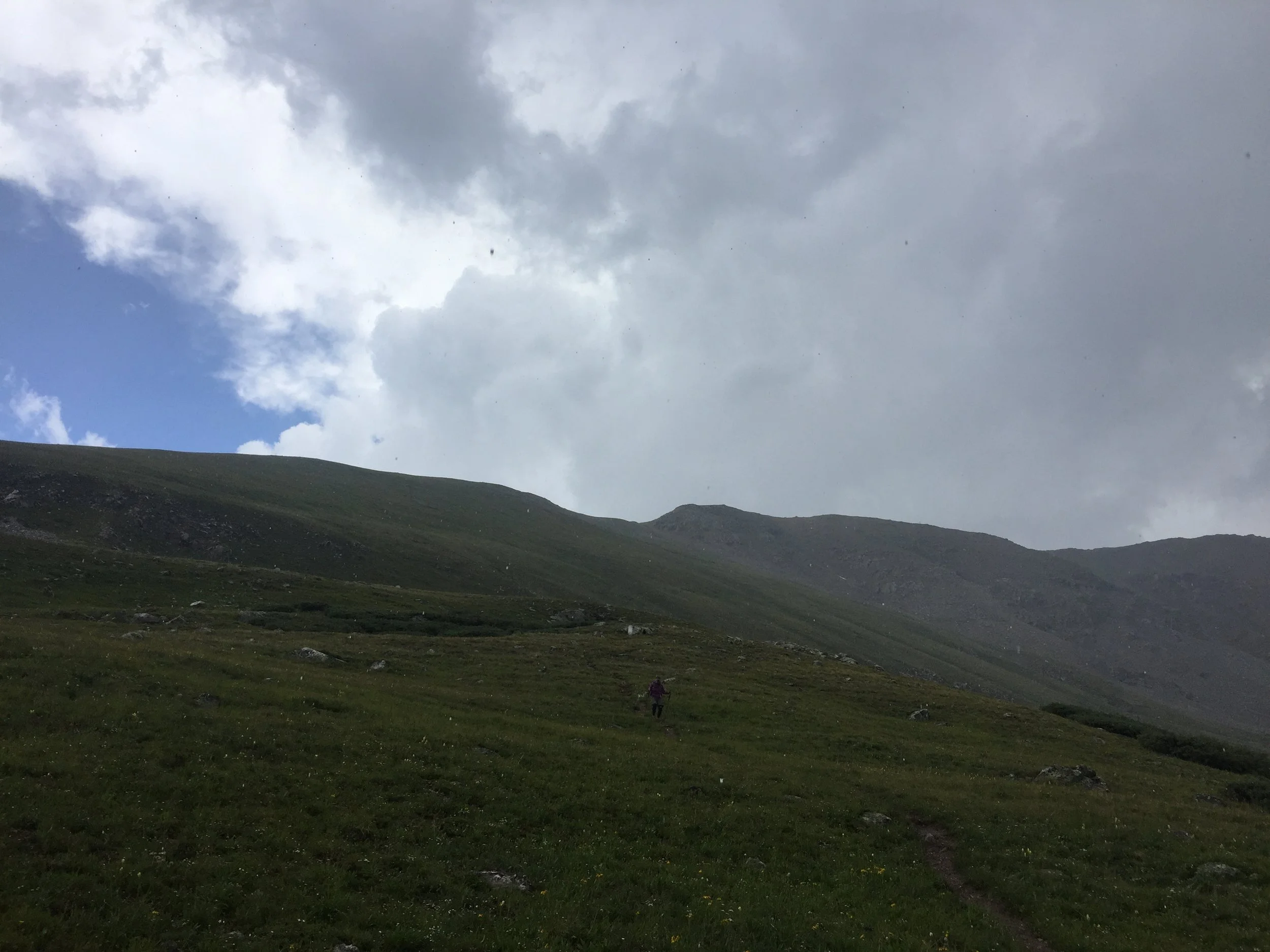
The next section of the hike was a grueling gainfest up a very steep grassy slope with few switchbacks. This is what all the offseason squats and lunges are about. The sun was still hidden behind Missouri’s now visually dominant west face, and I was happy for the shade. When the slope leveled off a bit around 13,200 ft, I looked back down towards treeline and saw my mom just about to begin the climb. I gave her a wave and continued up. The next 500’ to Missouri’s high ridge were steep and rocky, but I was happy to trade the mind-numbing slog for a bit of talus-hopping. This section simply flew by, and before I knew it I had reached the junction with the standard trail. The remaining hike to the summit would all be a repeat from last year.

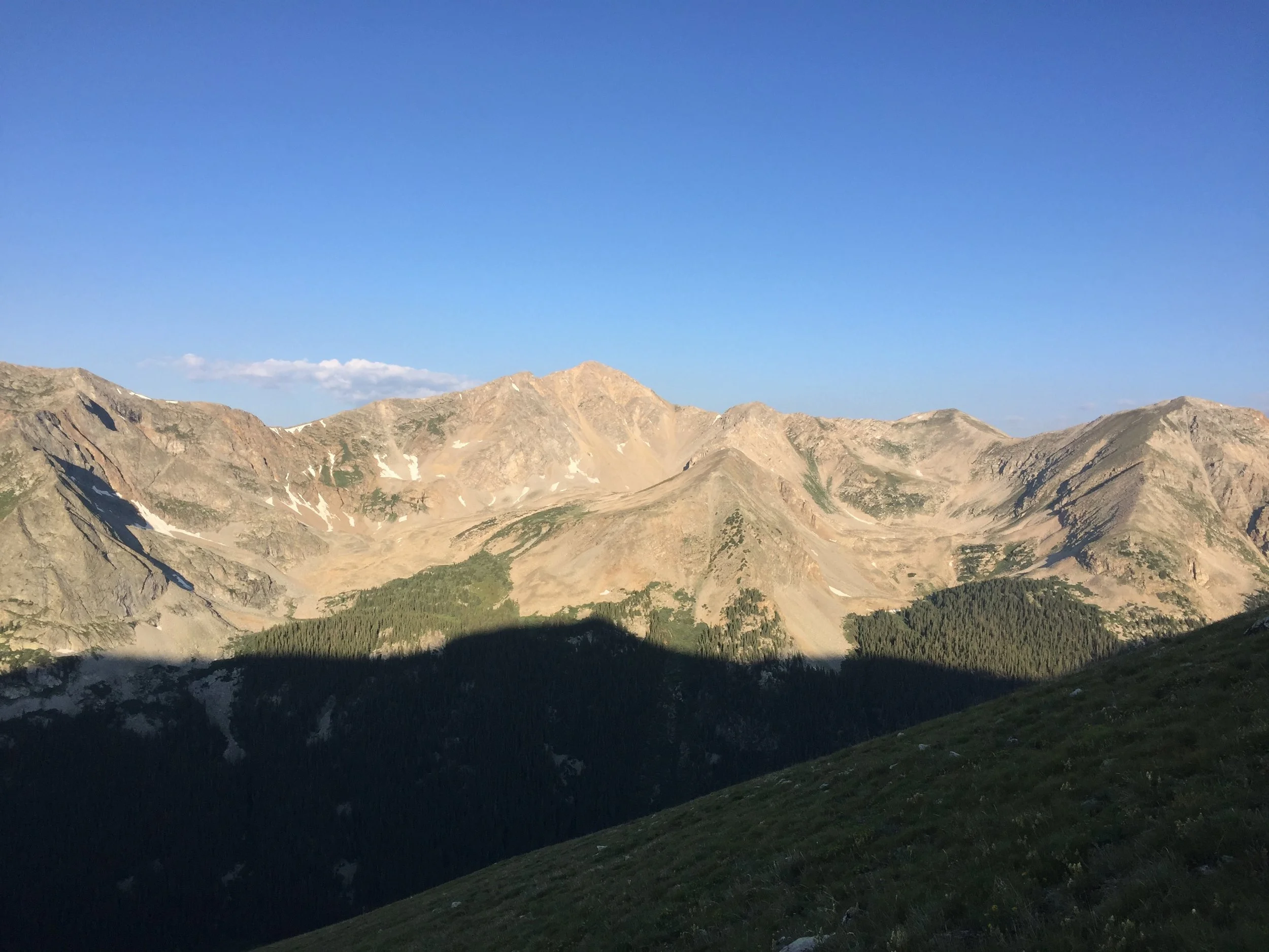
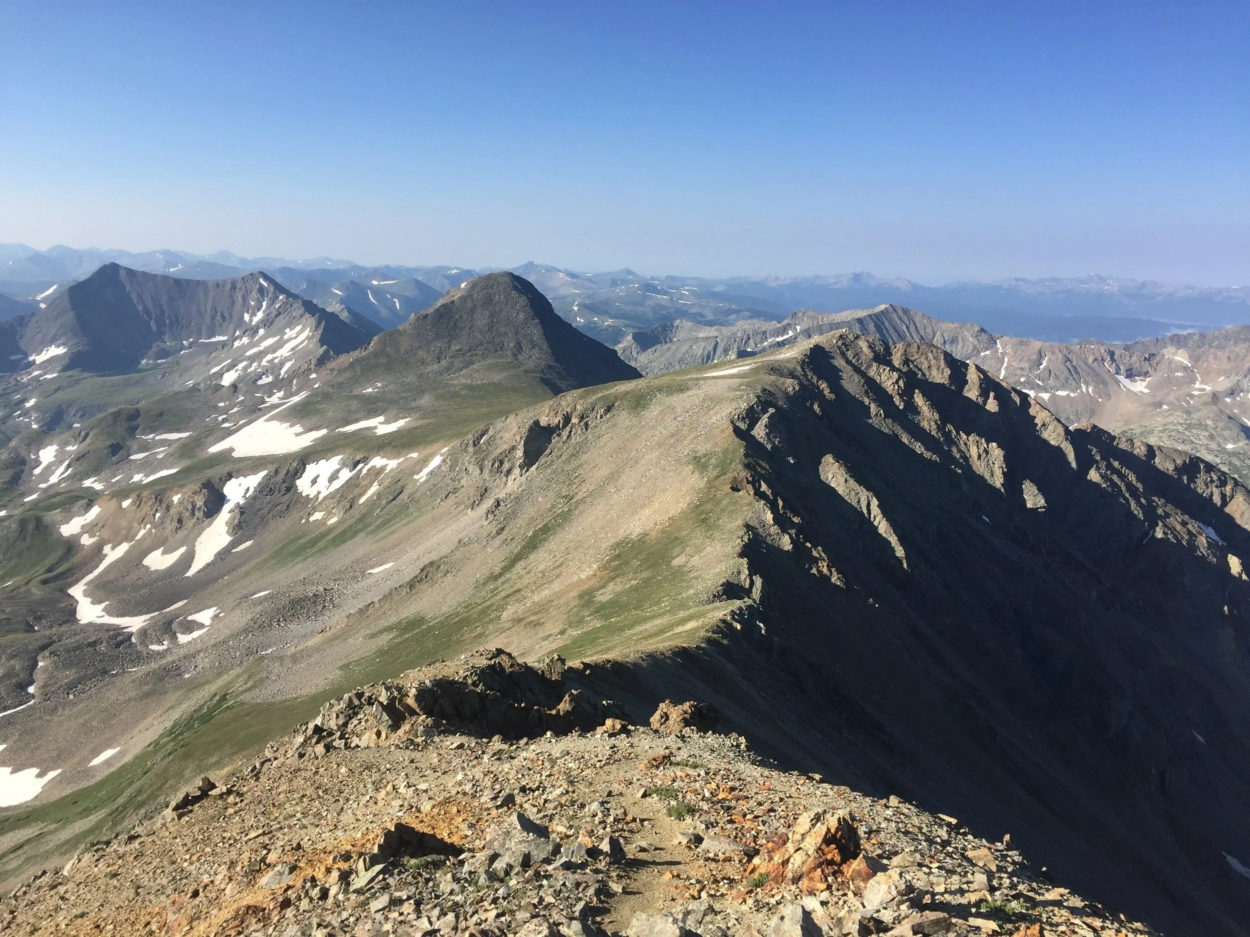
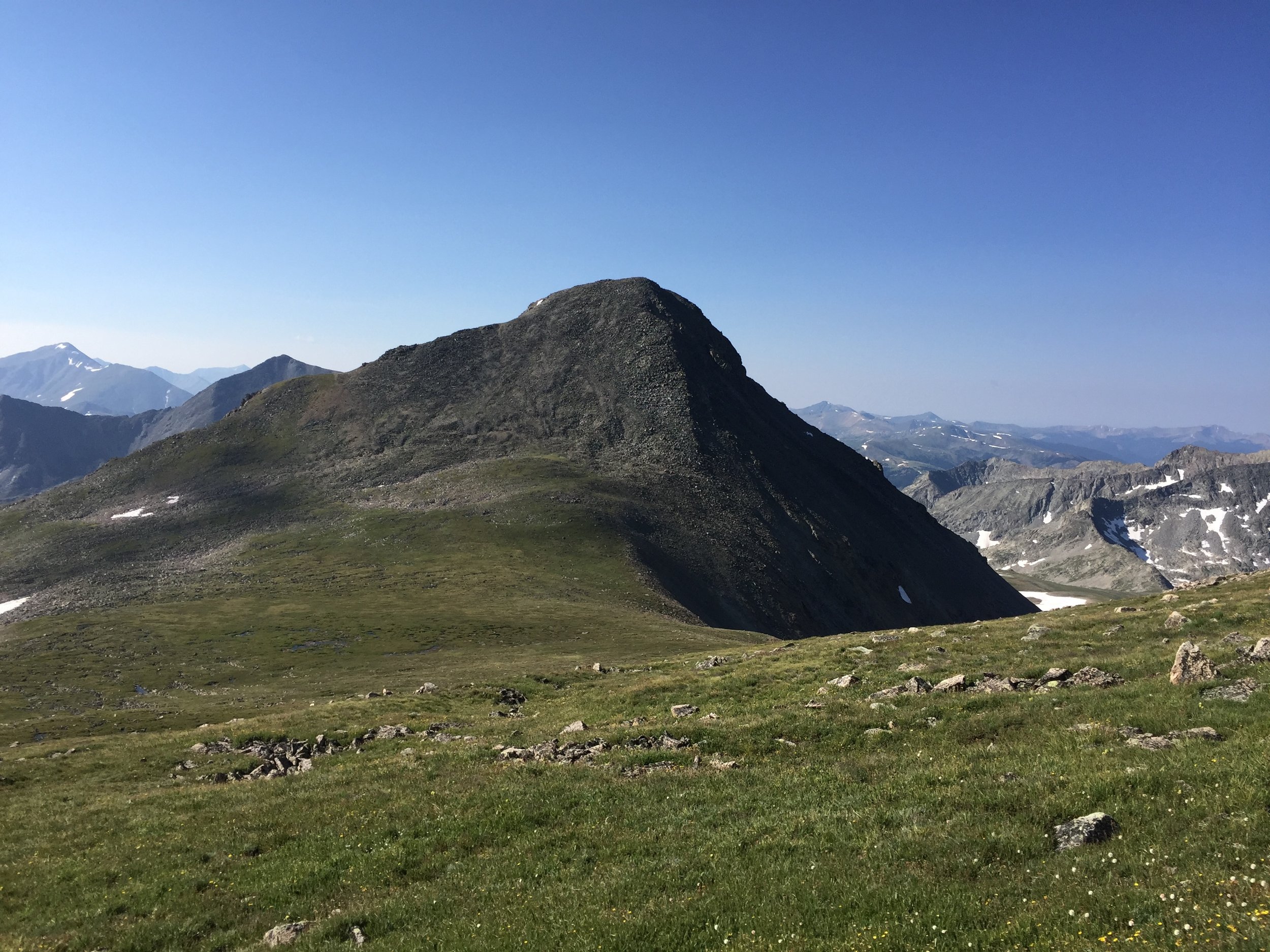
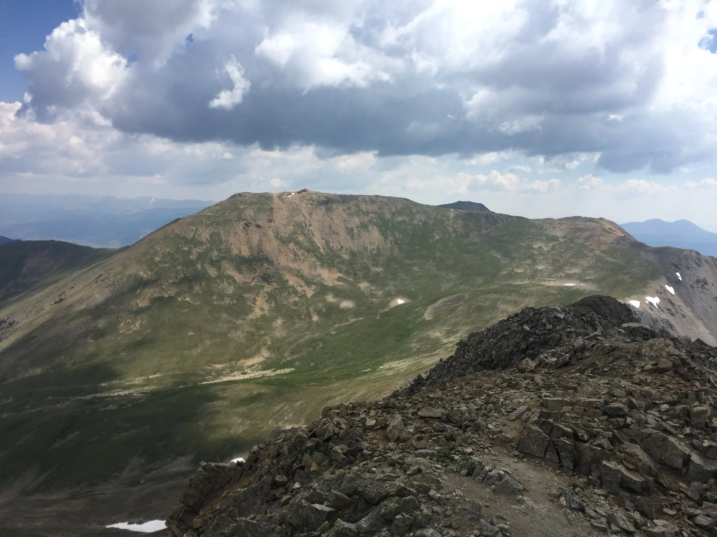
But I wouldn’t be stopping at Missouri’s summit today. Last year, I was captivated by the beautiful green pyramid that I’d later learn is Emerald Peak, a centennial 13er. It is a straightforward off-trail trek over to that peak, and I’d also be able to pick up unranked Iowa Peak along the way. After pausing only a couple minutes for a snack, I headed down Missouri’s south ridge toward my next two objectives just after 8:30.
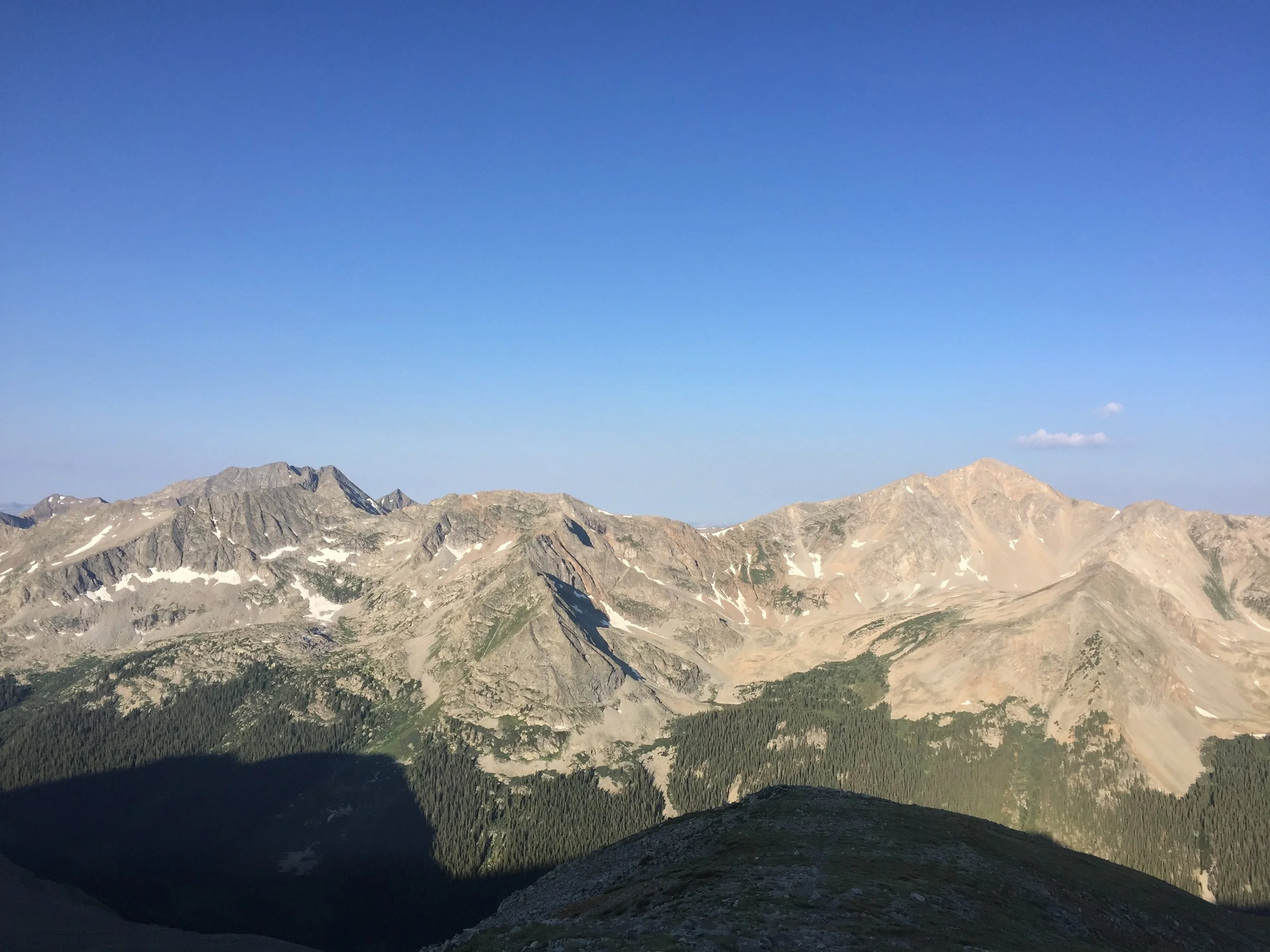
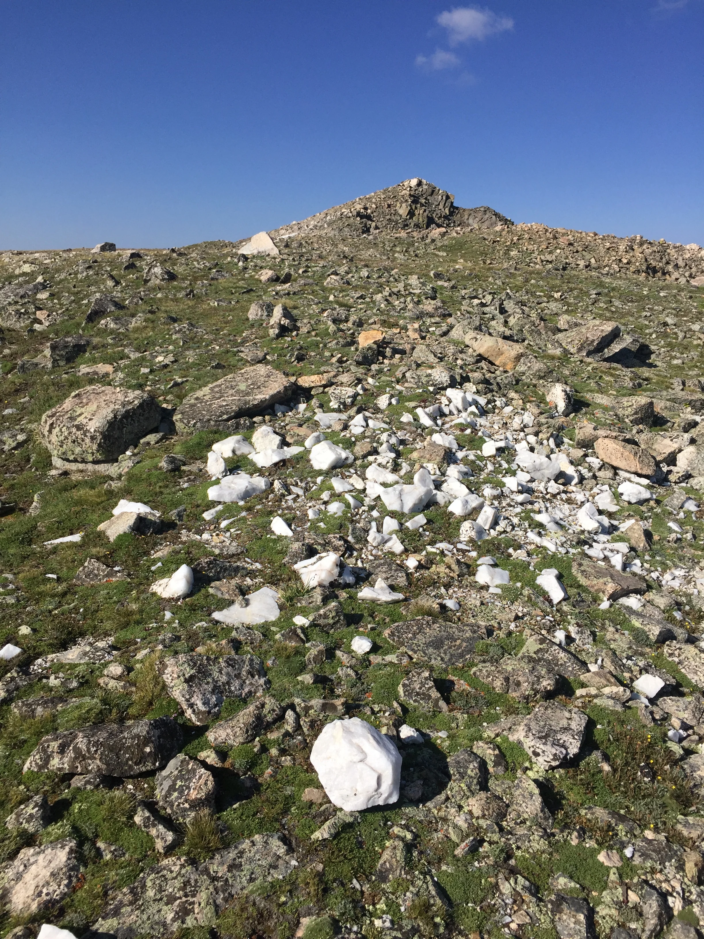
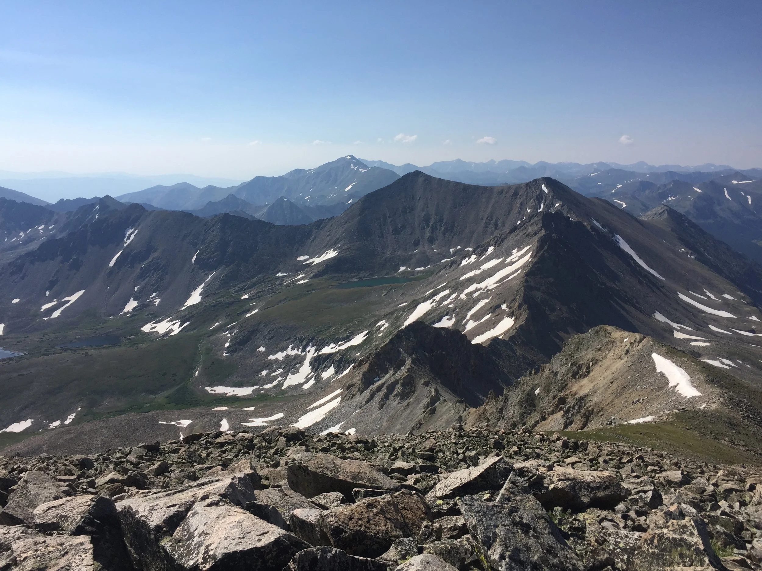
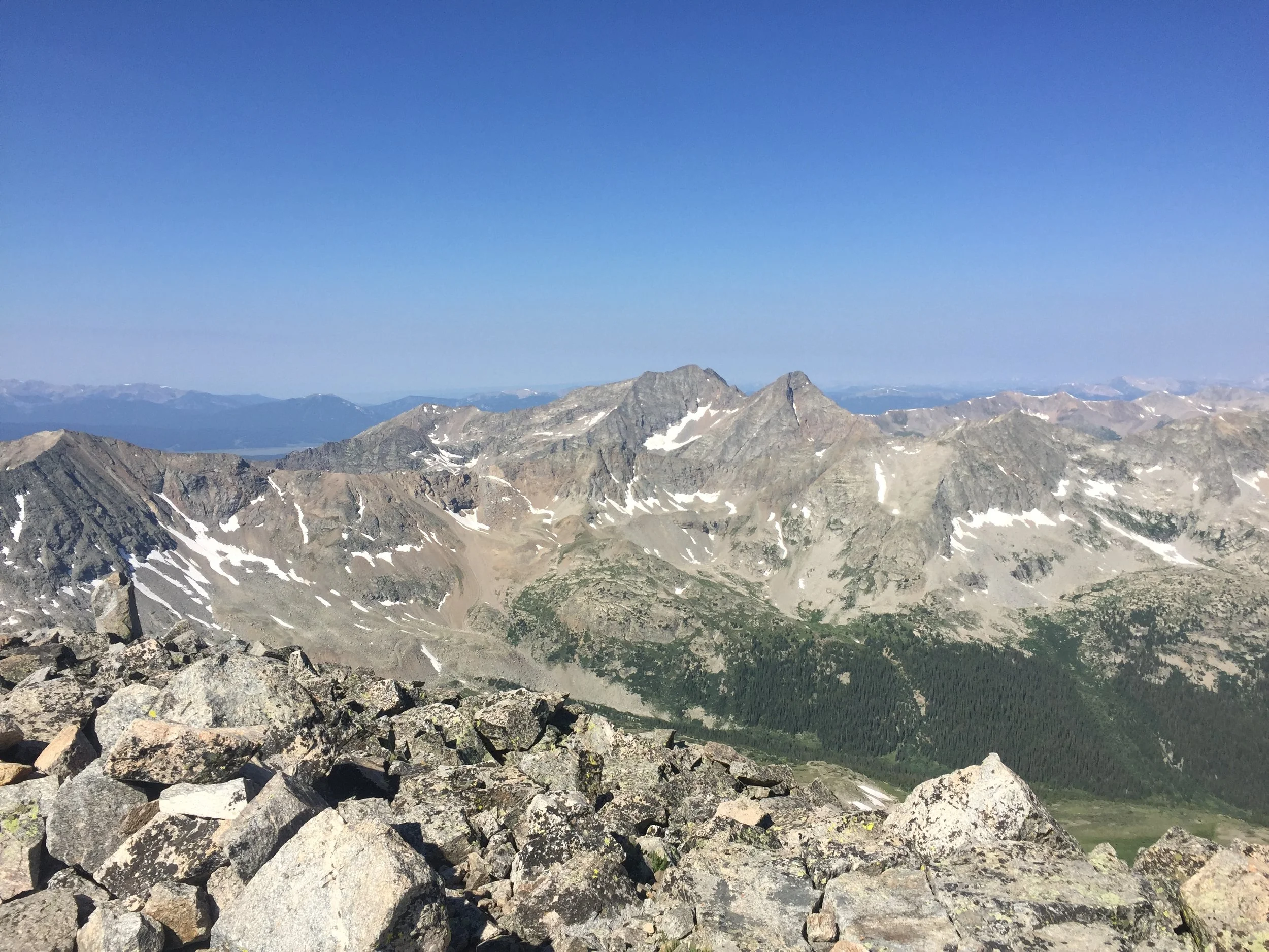
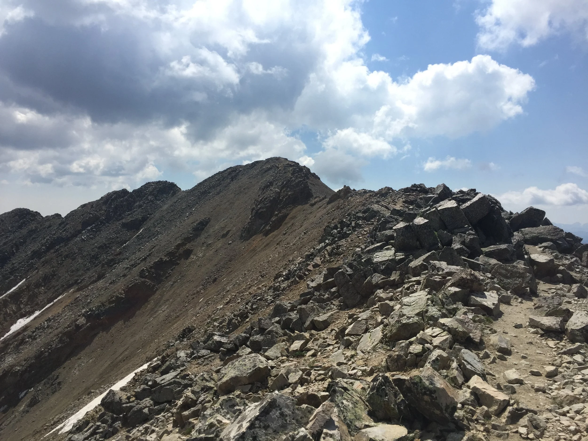
As I descended, the views opened up considerably, with Harvard on my left and the Apostles rising majestically and a bit menacingly on my right. The vantage point of the rest of the range from these central Sawatch peaks is remarkable; you can pretty much point out every prominent peak from here. The ridge hike over to Iowa was no big deal, and there were frequent trail segments along the way. When I was nearly to the summit, I came upon a huge quartz outcropping. Well, hell - shoulda borrowed Mom’s rockhammer.
The route over to Emerald allowed for a bit more improvisation, as I’d need to dodge a bunch of marshy spots to reach the ascent. This place must look so beautiful in the winter. In order to get up Emerald, I had to locate a grassy ramp, cut across to a low point on the northeast ridge, and then simply scramble up that to the top. This hike was turning out to be a really good mix of terrain, and the last push to the top of Colorado’s 71st tallest was a lot of fun. I took a nice long rest at my halfway point for the day.

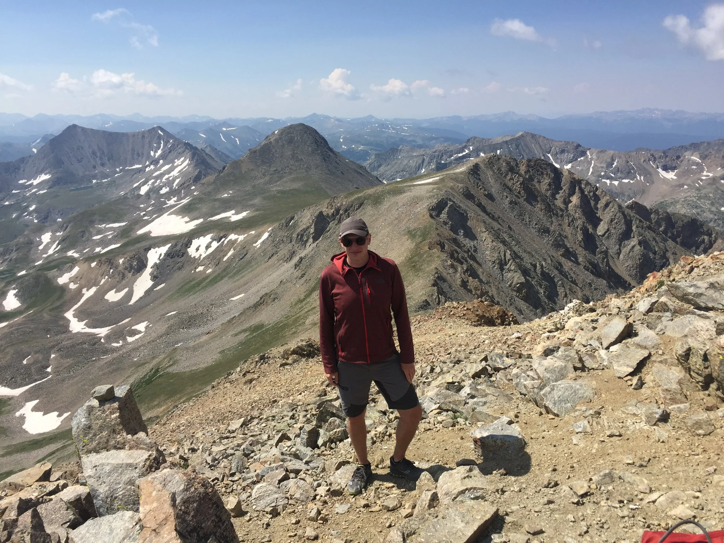
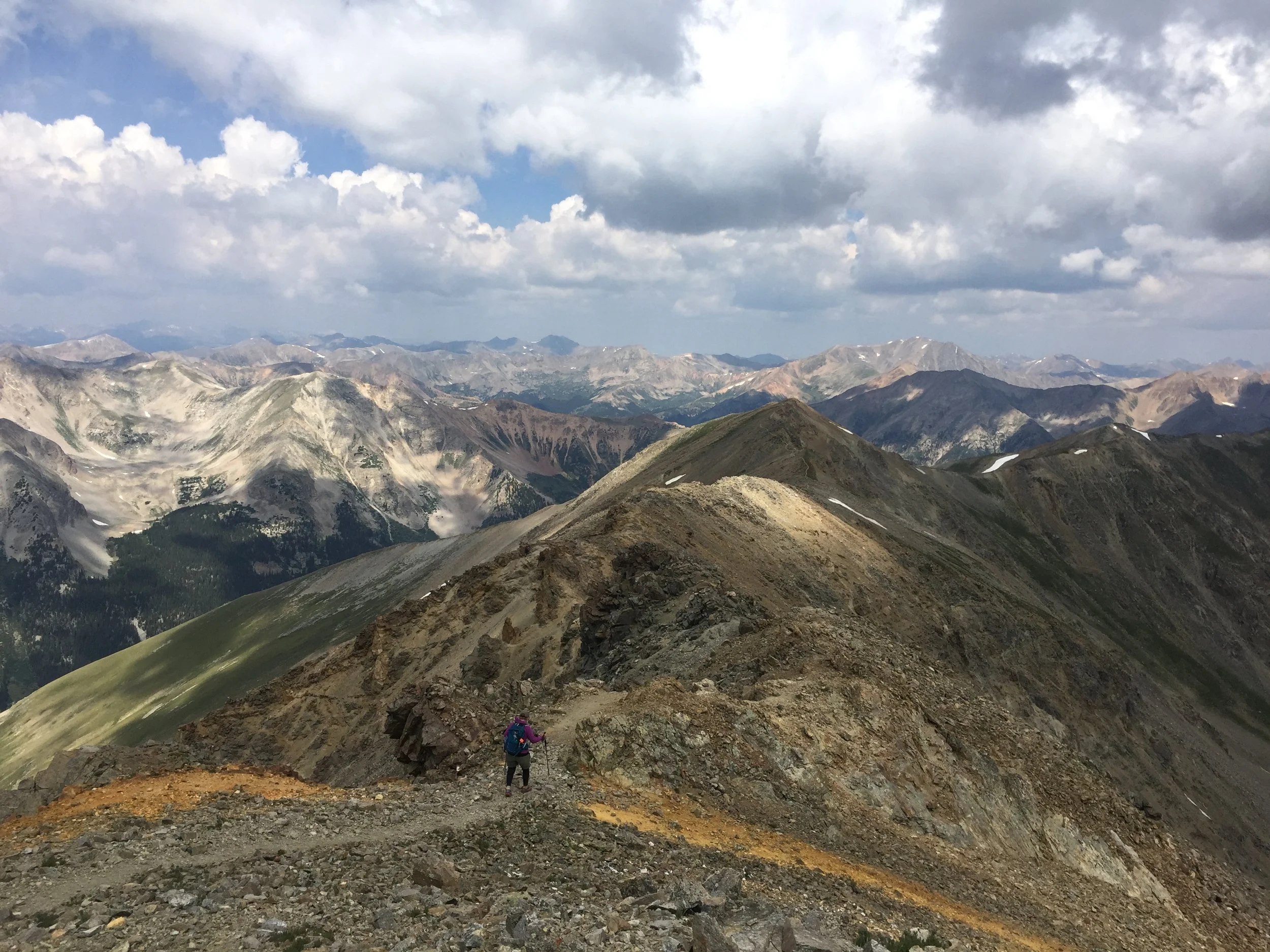
I chose a more direct route down Emerald, which involved more than a little scree-surfing. I was able to skirt Iowa’s shoulder on the way back, and as I was beginning my second ascent up Missouri today, I spotted my mom on the summit. Yay - she’d done it again. My legs were beginning to scream a bit, and when I reached the top Mom greeted me with a congratulatory, “Wow! I was surprised to see you stop so many times!” I’d still made it back from Emerald in less than an hour, significantly less than it had taken me to get over there.
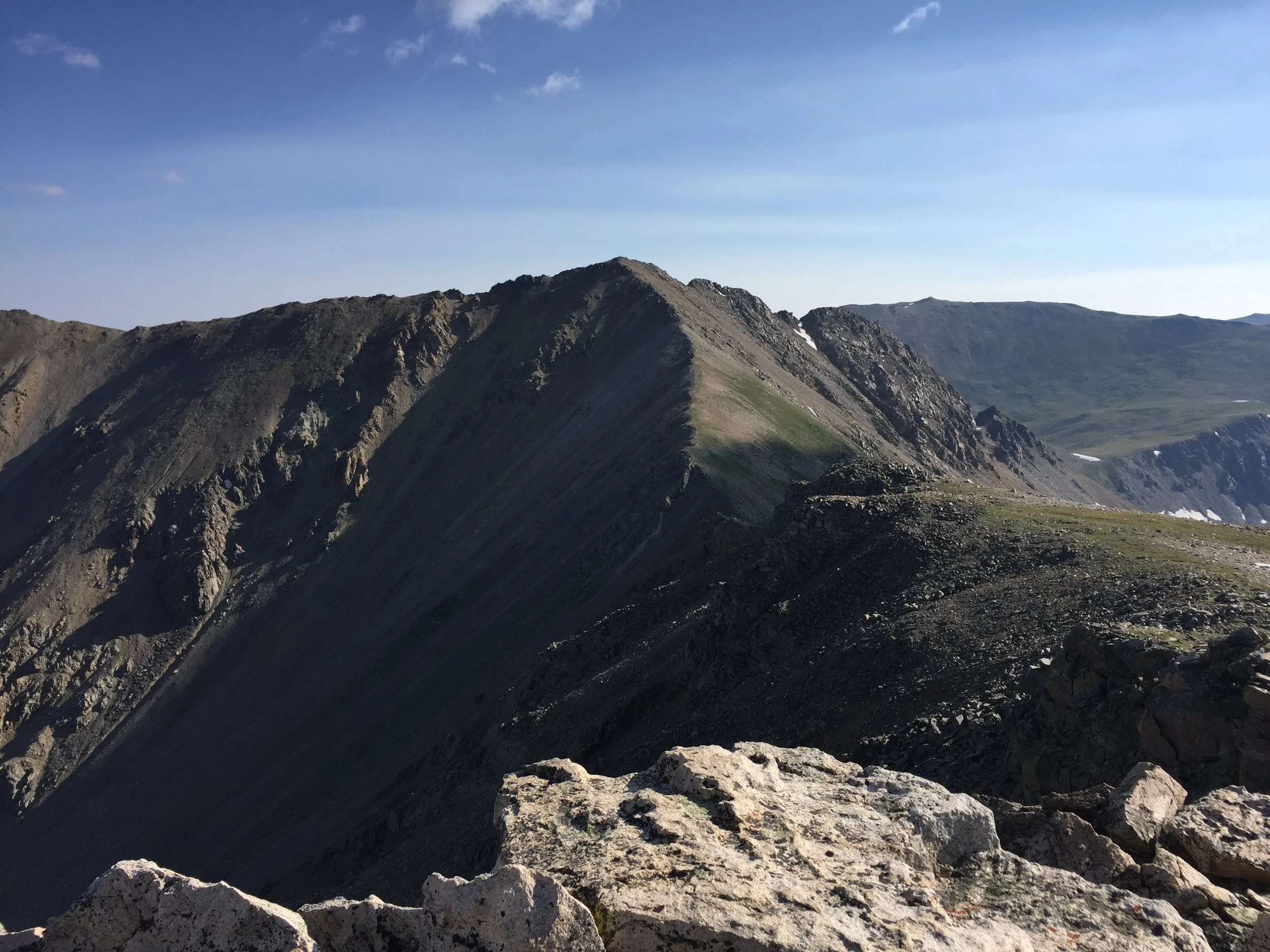
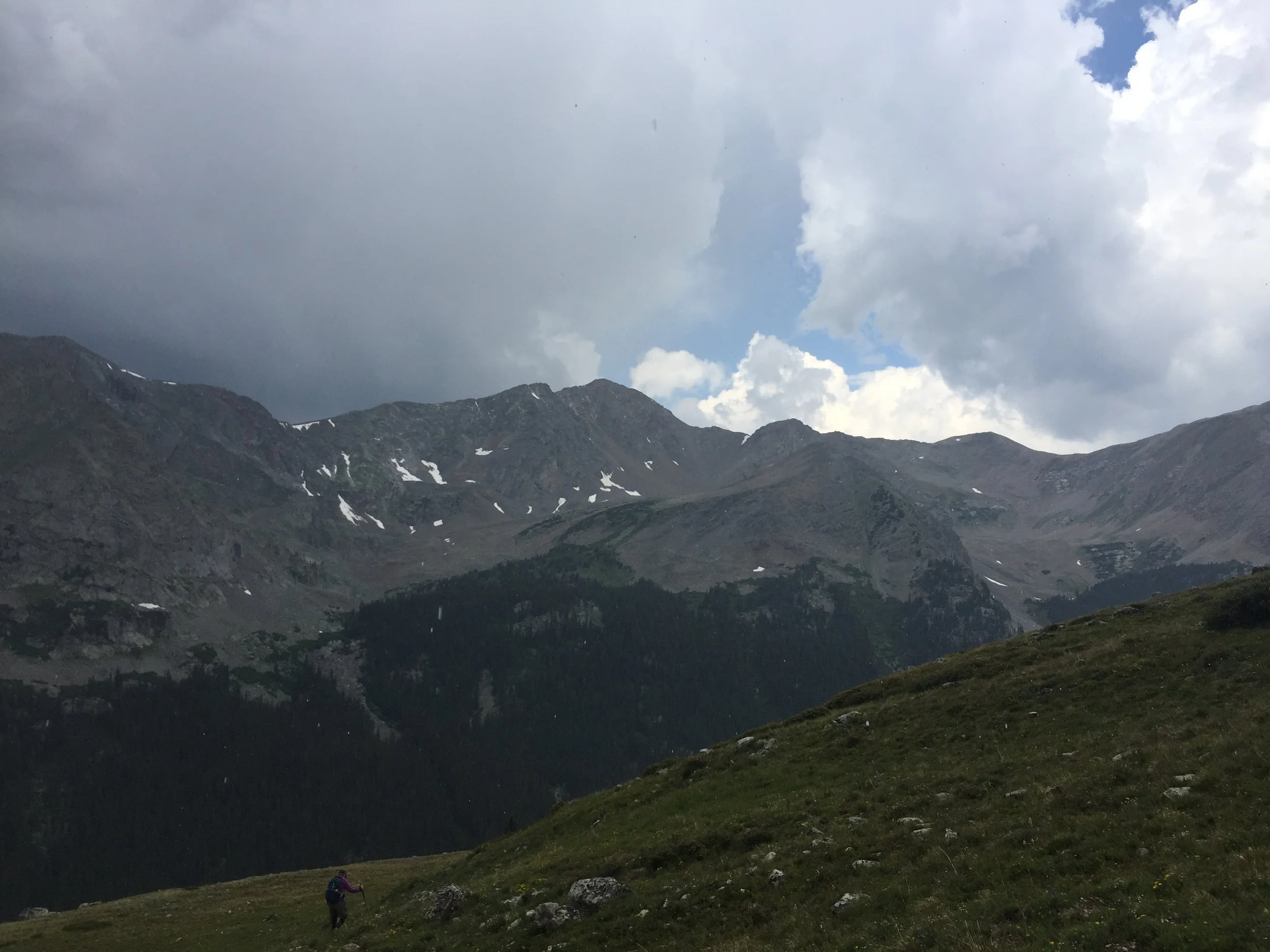
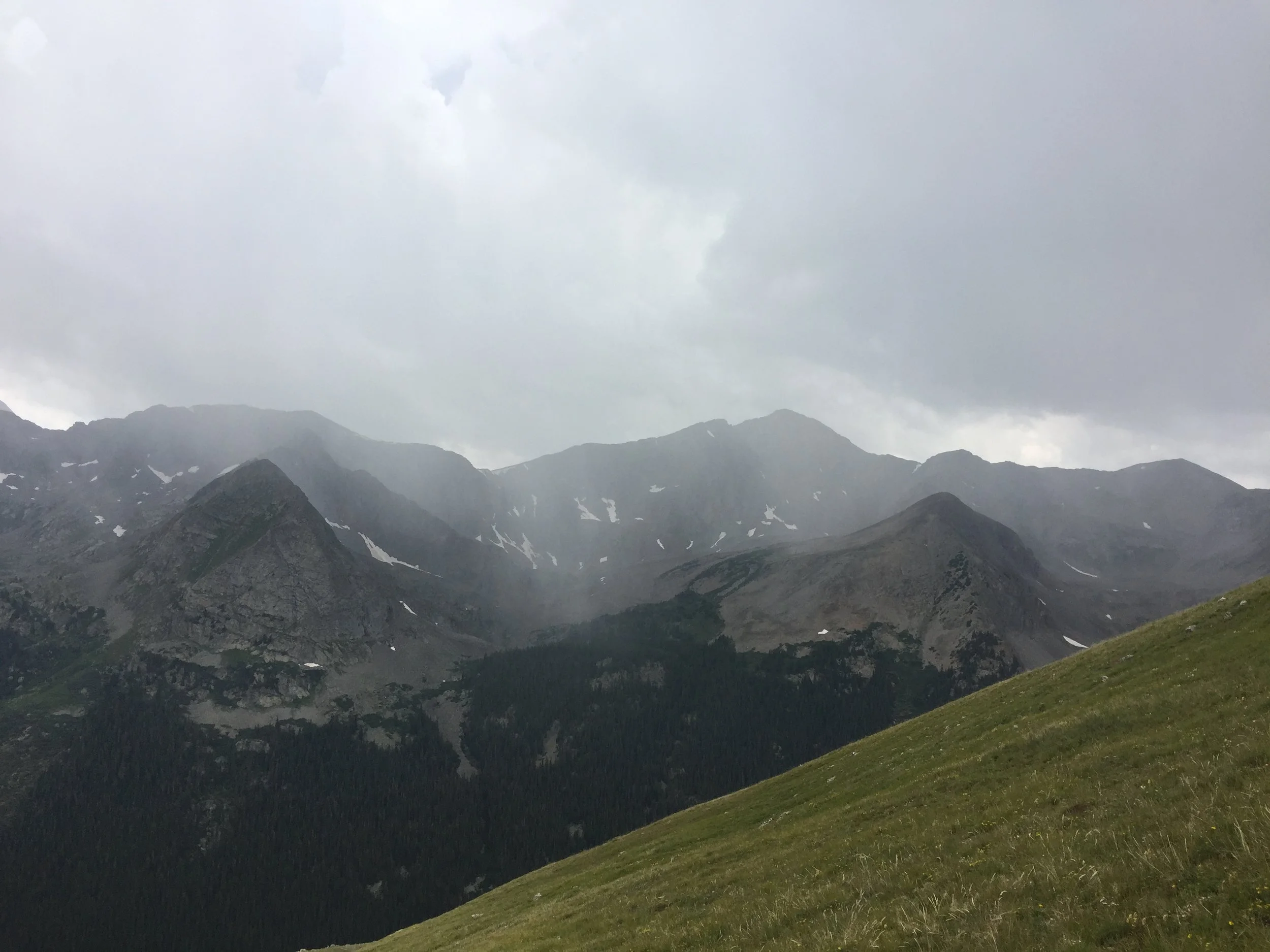
We paused for pictures and some more snacks. During this brief respite, the sky changed from nearly completely clear to mostly cloudy in a matter of minutes. 11am has consistently been the time for storms to start this summer. Brutal monsoon. Mom set off down the trail, and I hung back a bit. When I reached the slippery ridge crux, I opted to stick to the exposed high line to test myself. Still a bit awkward, but I’m getting more and more comfy. I caught back up to her shortly thereafter and continued to follow her past the trail junction all the way through the rocky downclimb.
When we reached the steep grassy slope at 13,200 ft, it suddenly became apparent that there was a storm expanding rapidly right on top of us. Thunder became more and more frequent, and it was beginning to rain. We both knew we had to move quickly. I collapsed my poles, put them in my pack to give me fewer contact points with the ground, and jumped out front. I didn’t want to get too far in front of Mom, but we needed to get down quickly. The rain turned to graupel, and we were pummeled for about 10 minutes. Right around the time we reached treeline, the sleet relented a bit and the thunder became less frequent. We had lucked out again, but that was the scariest one yet.
The crazy thing about that storm is there was no indication of where it was coming from. The general rule is to always look to the west first, but the darkest clouds initially appeared to the northeast. Even the most elevation and mountain-specific predictions we could find showed a clear morning and only a chance of rain in the afternoon. Situations like this one demand that hikers respect the mountains. If there’s even a small chance of thunderstorms in the morning, I don’t hike above treeline. And if I don’t feel like getting up well before dawn, I don’t hike above treeline. Having to make these decisions really pisses me off, but I’d rather make that call at home than 500 ft from the top of a mountain with shit going down all around me.
Today was a complete success, though. I had a blast and knocked a centennial off my list. Mom bagged her 22nd 14er summit. We got to tear up a fairly gnarly 4wd road. And I spent over five hours above treeline, taking in the cleanest air and sweetest views I could possibly imagine. This might be the last hike I do in the Rockies this year. I’d say it’s been one helluva summer.

The stats
Missouri Mountain: 14,067 ft. (#36 in CO)
Emerald Peak: 13,904 ft. (#71 in CO)
Iowa Peak: 13,831 ft. (unranked)
Distance: 8 miles
Gain: 5000 ft.