Cronin Peak & Mount White
Well, today I attempted my longest single-day hike ever, and although there were a couple of moments of uncertainty, I managed to pull it off. I estimate this one at somewhere between 18 and 19 miles with about 7000 ft of elevation gain. I picked up two ranked 13ers in the process.
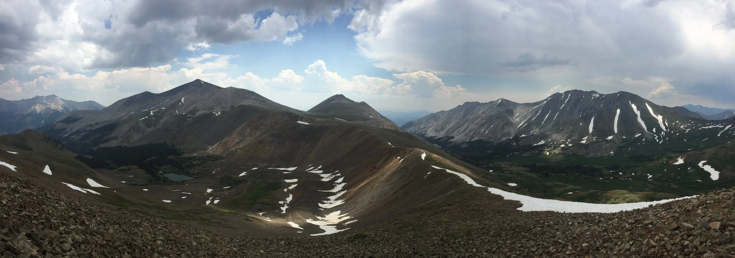
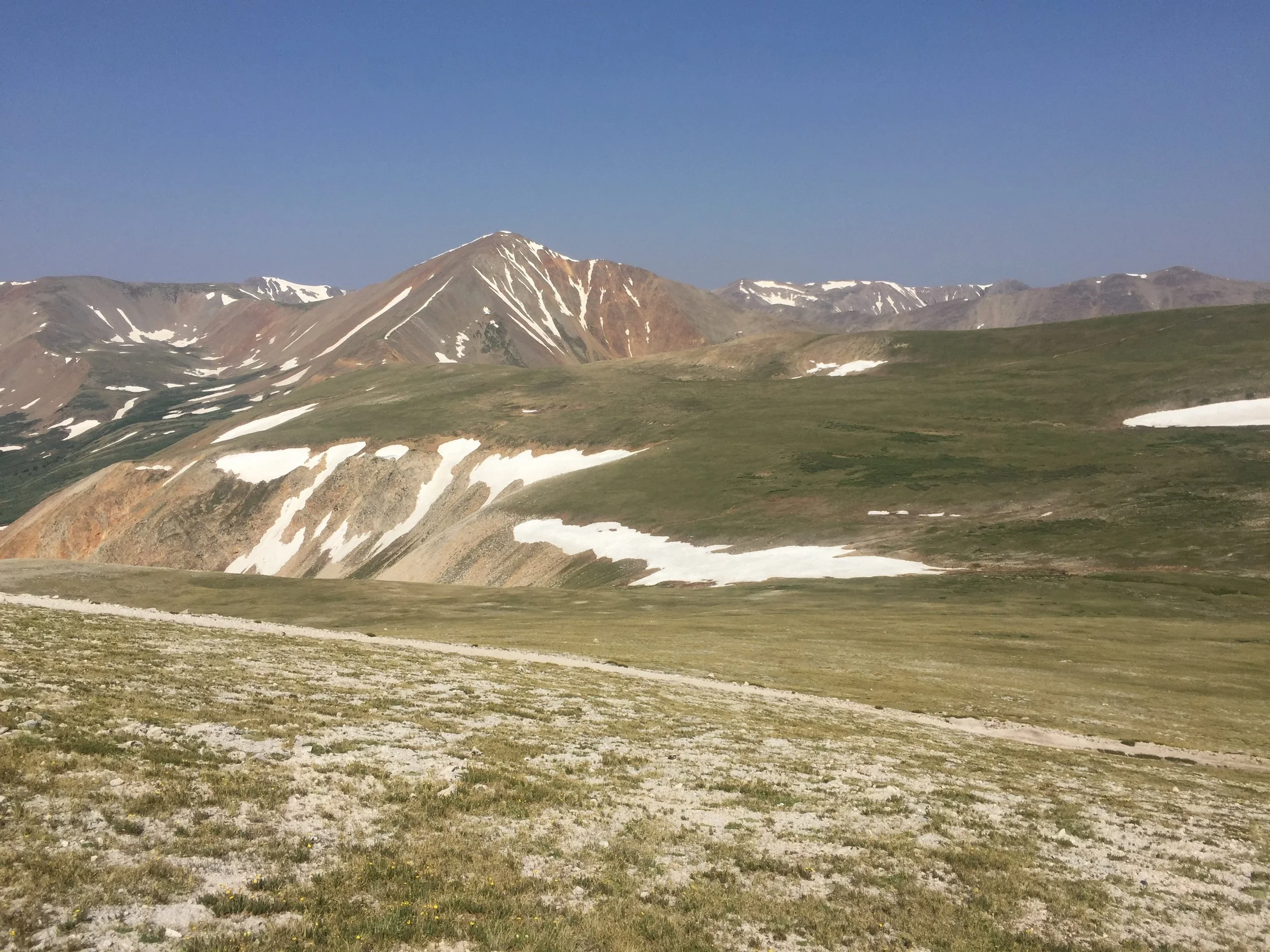
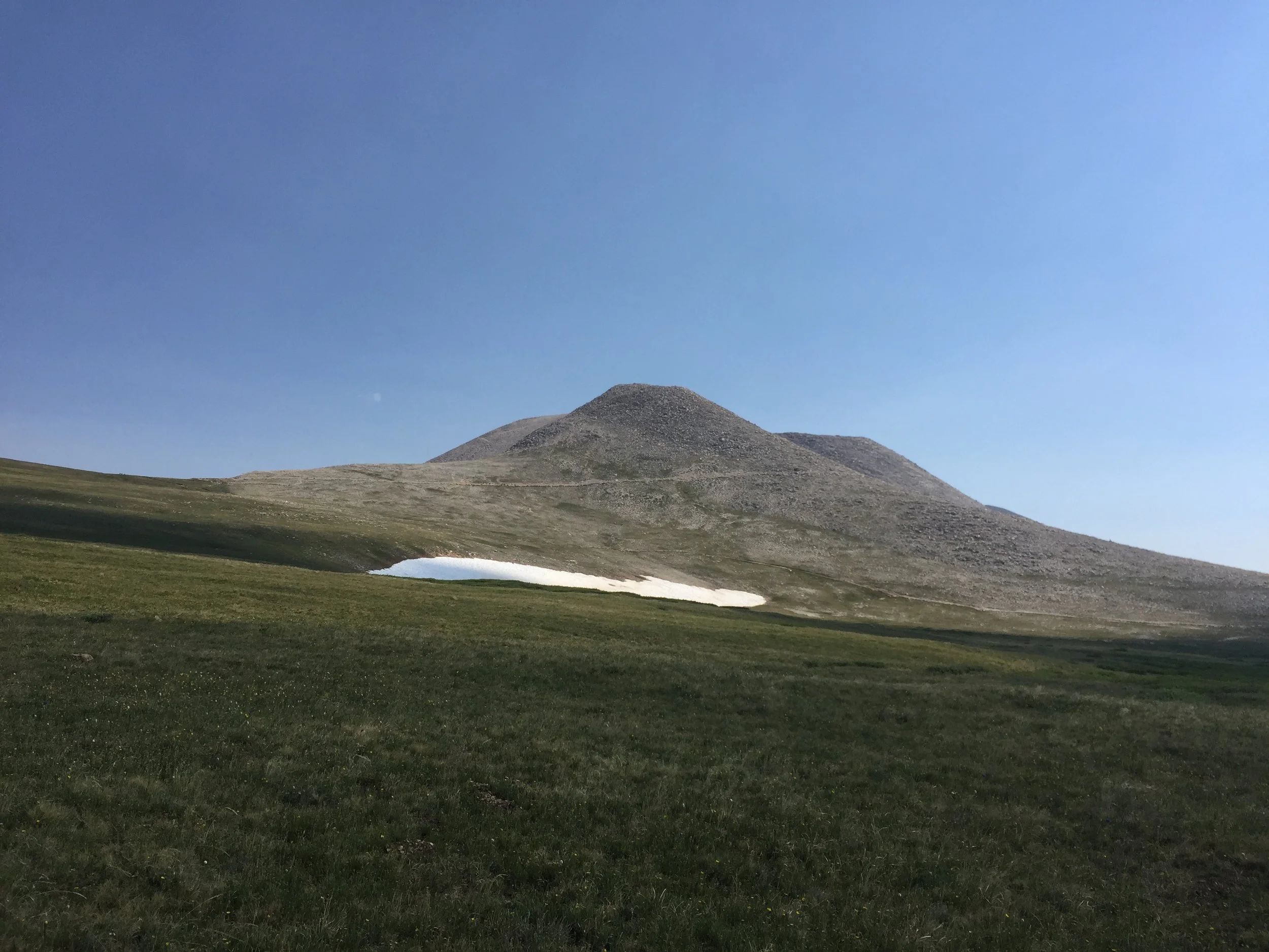
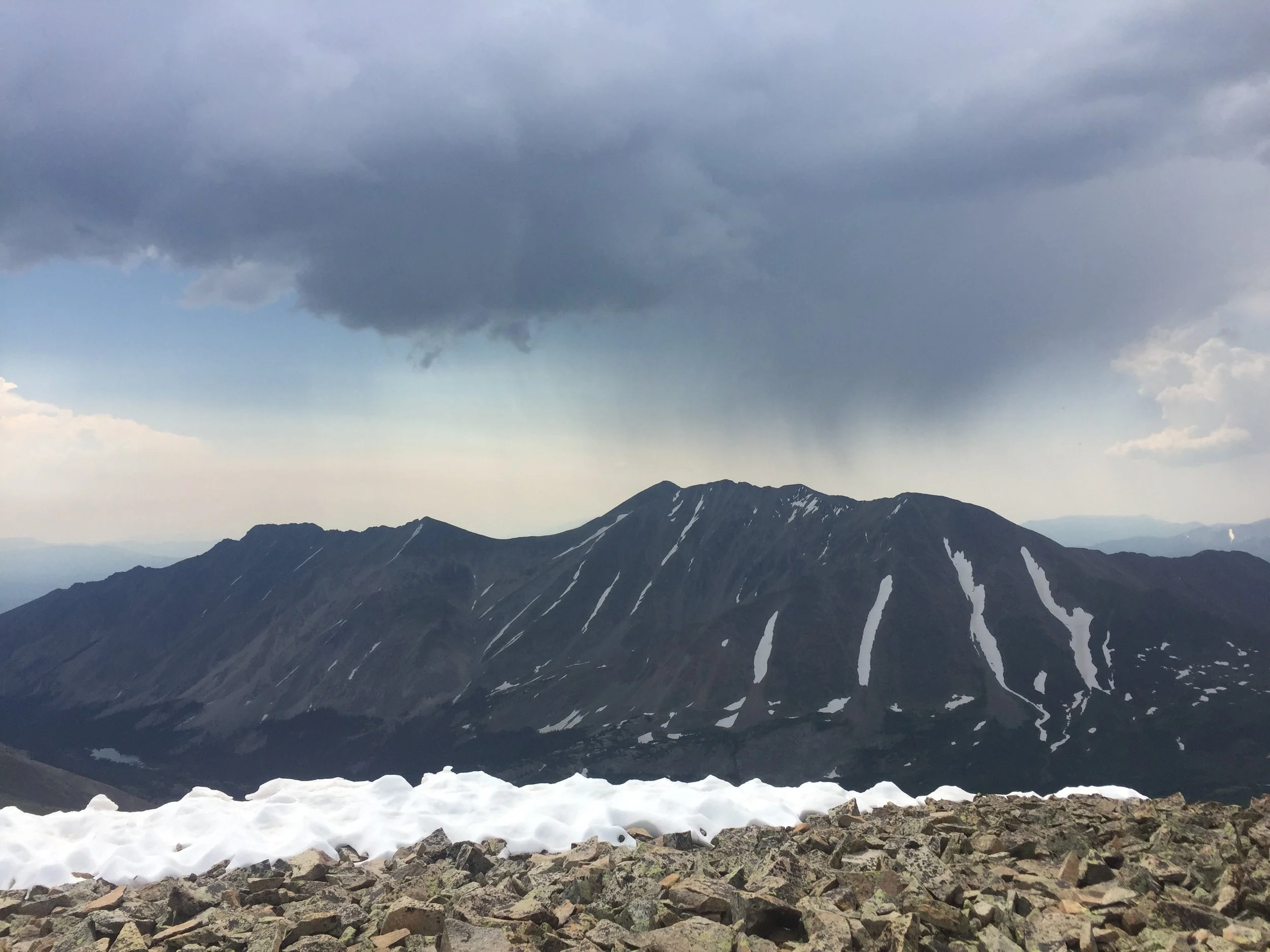
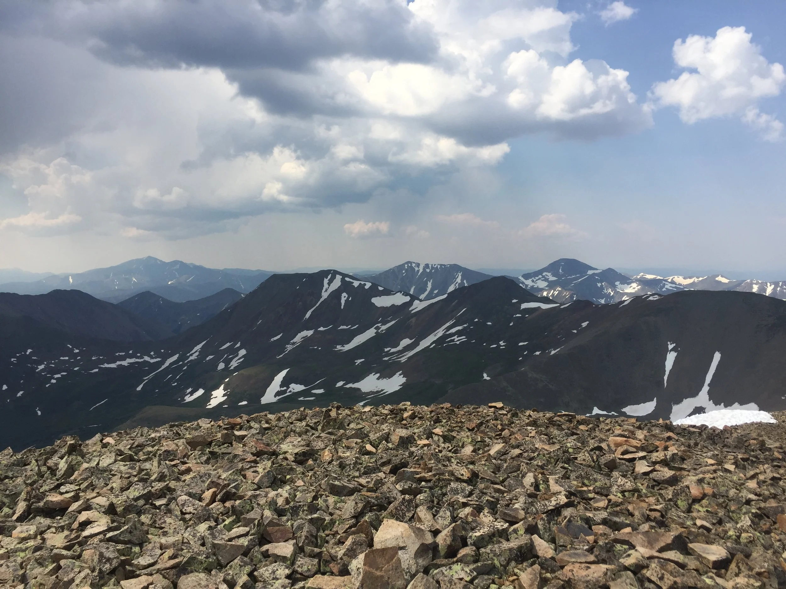
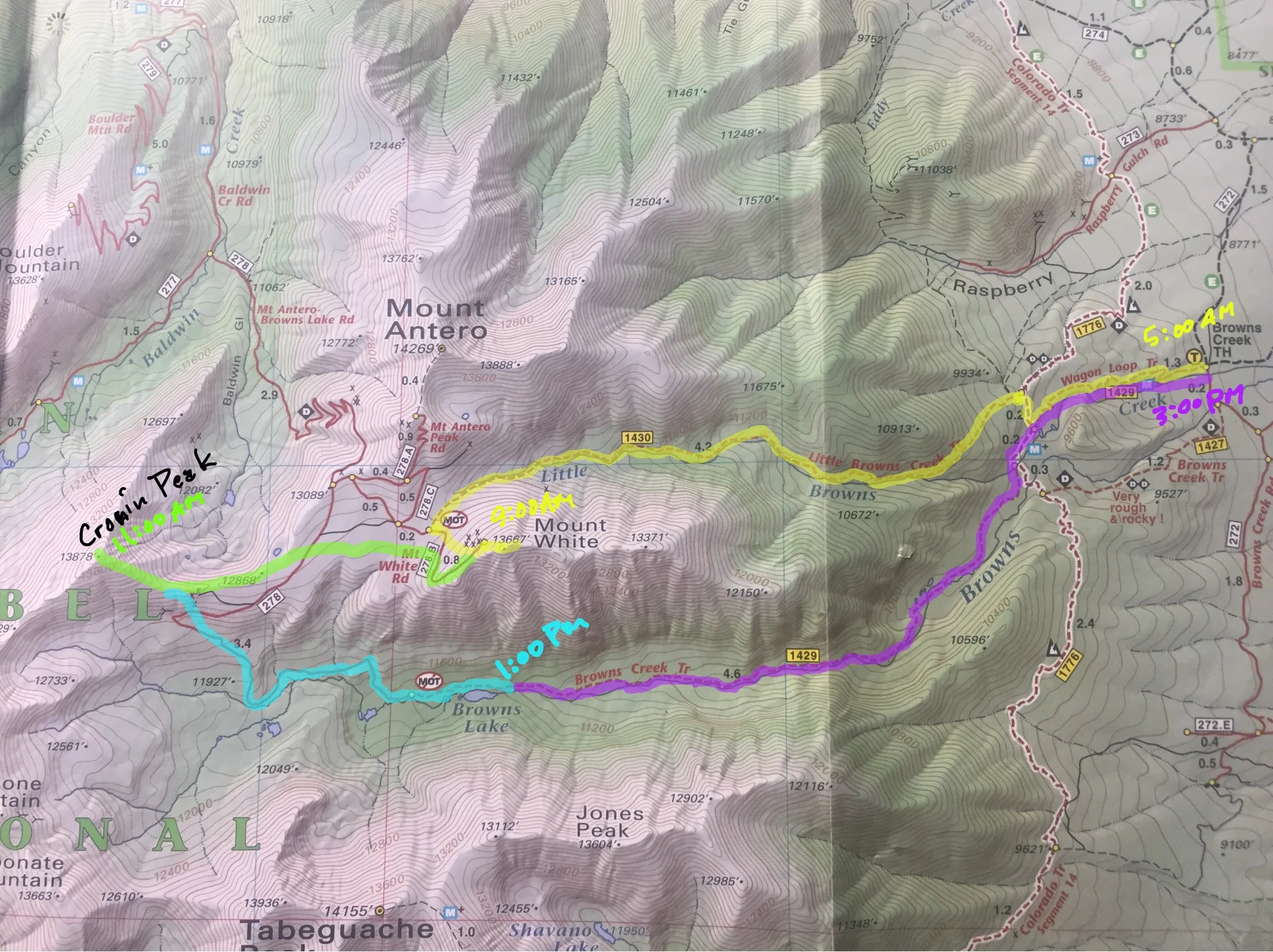
Due to a thunderstorm threat in the afternoon, I started hiking at 5am. I ascended Little Browns Creek for about 6 miles to its source, then swung around between various defunct 4wd roads and scrambled up Mt. White (13,667 ft). At 9am, the skies were perfectly clear with ridiculous views of Mt. Antero (where I was very recently) and Shavano and Tabeguache (both of which I hiked one year and one day ago)! The summit also looks down a steep dropoff down to Browns Lake, where I’d end up a bit later; should I have saved my legs a helluva lot of trouble and just taken a massive swan dive then and there?...
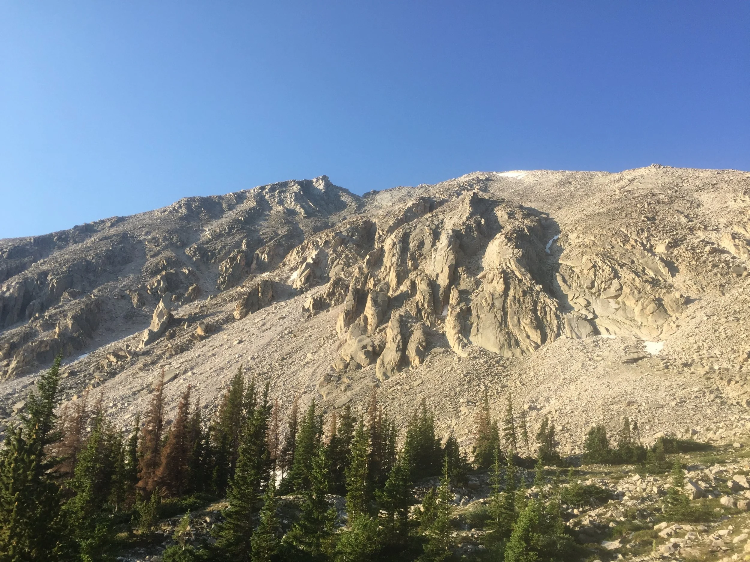
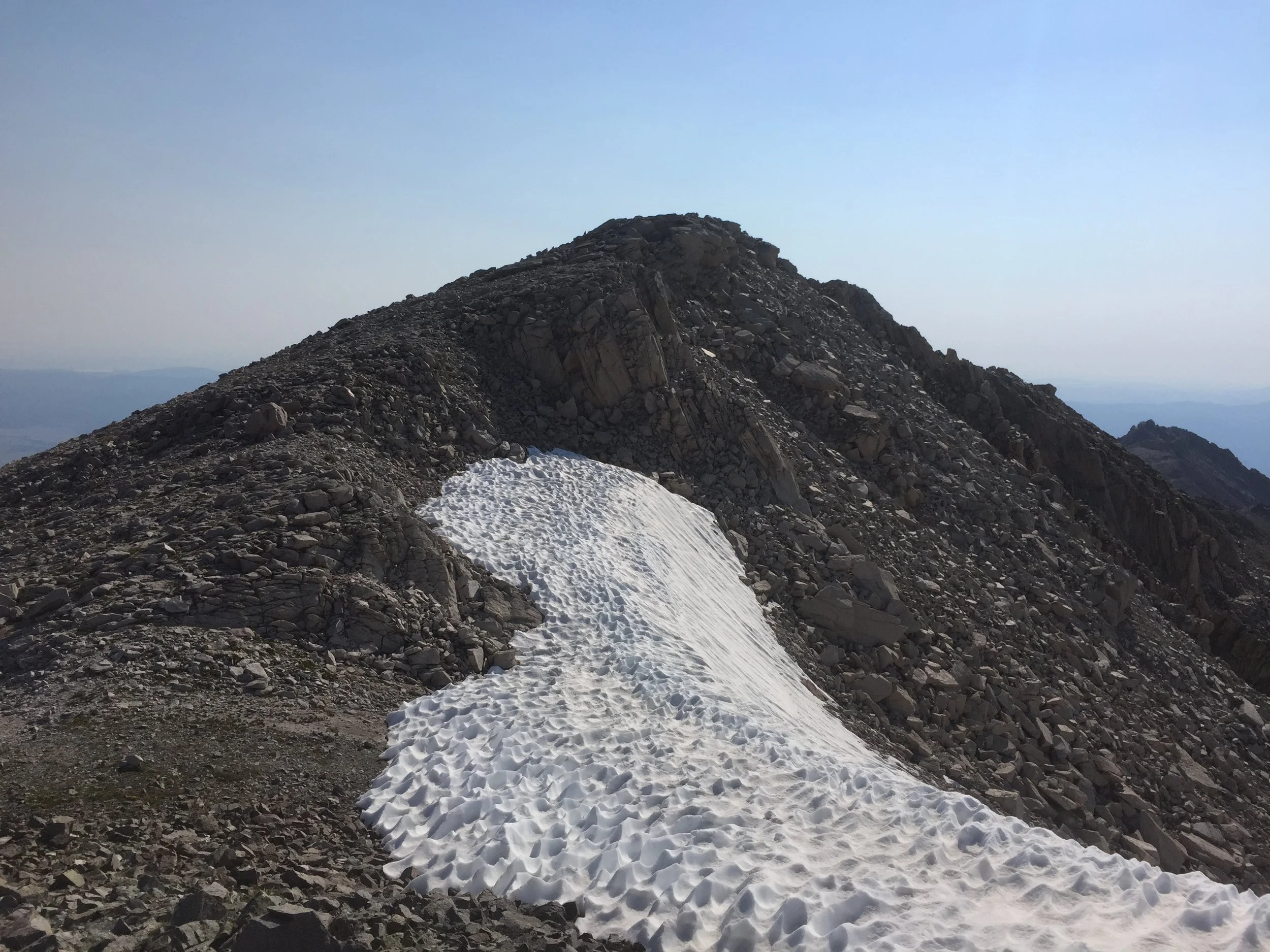
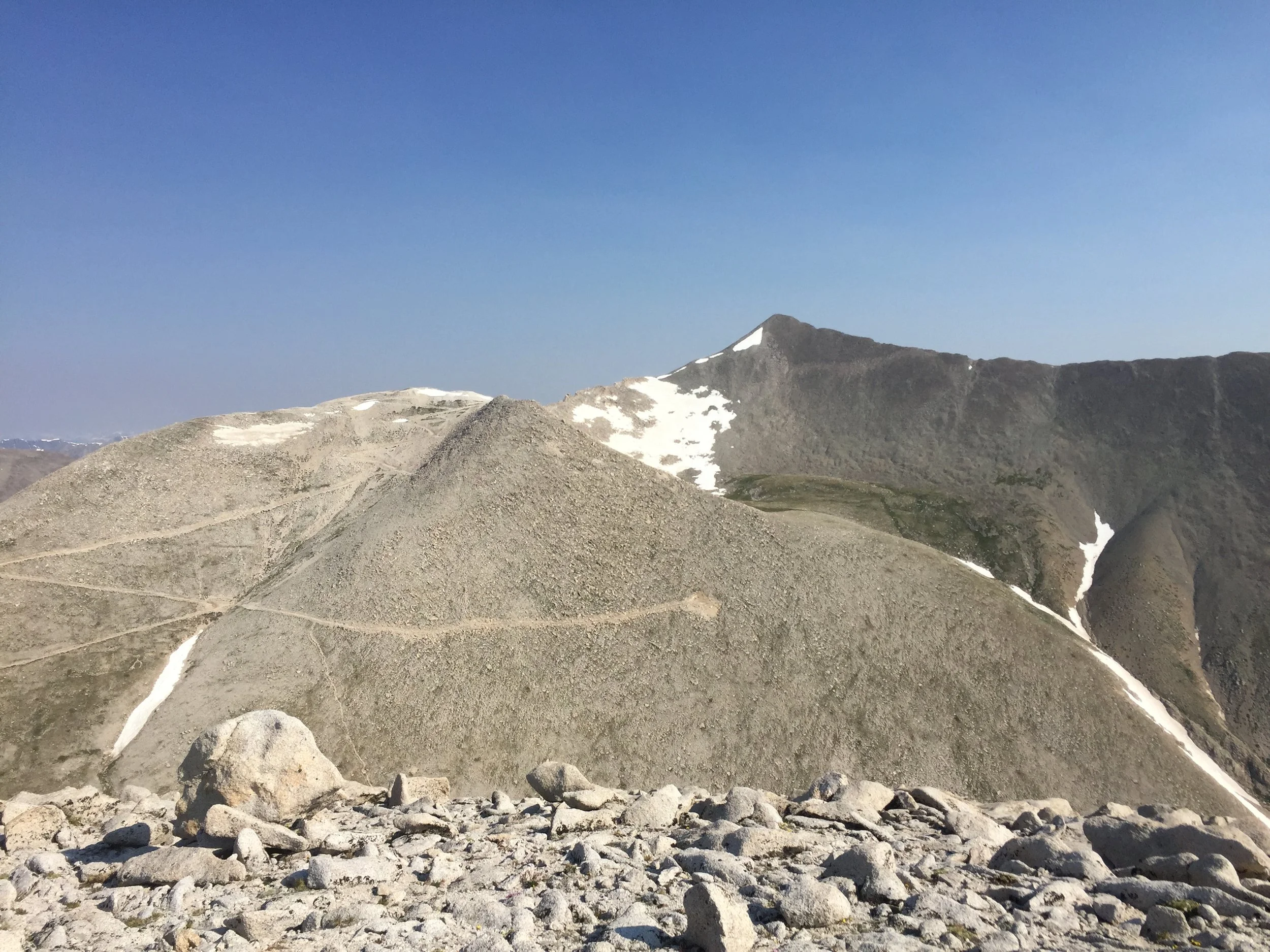
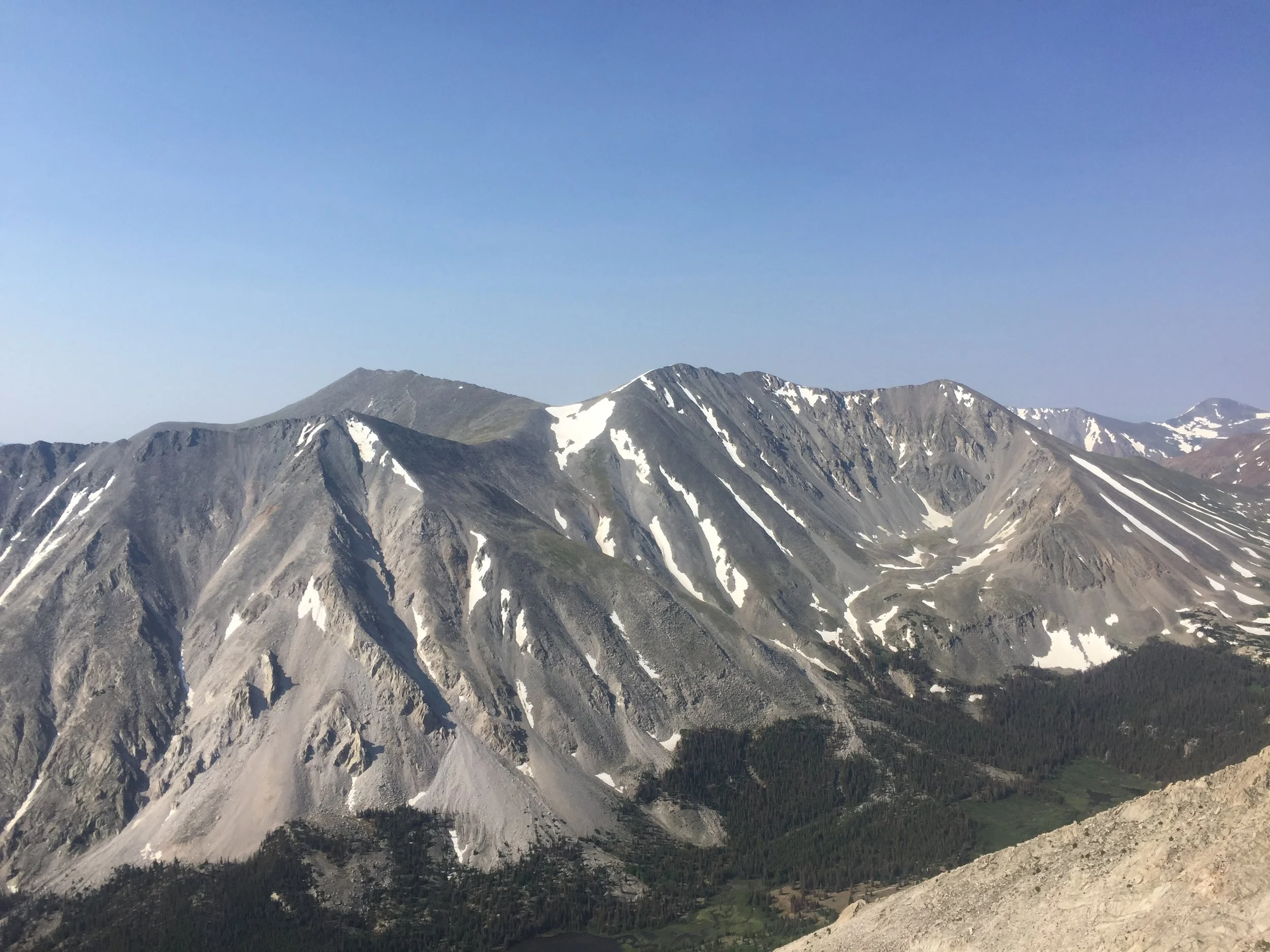
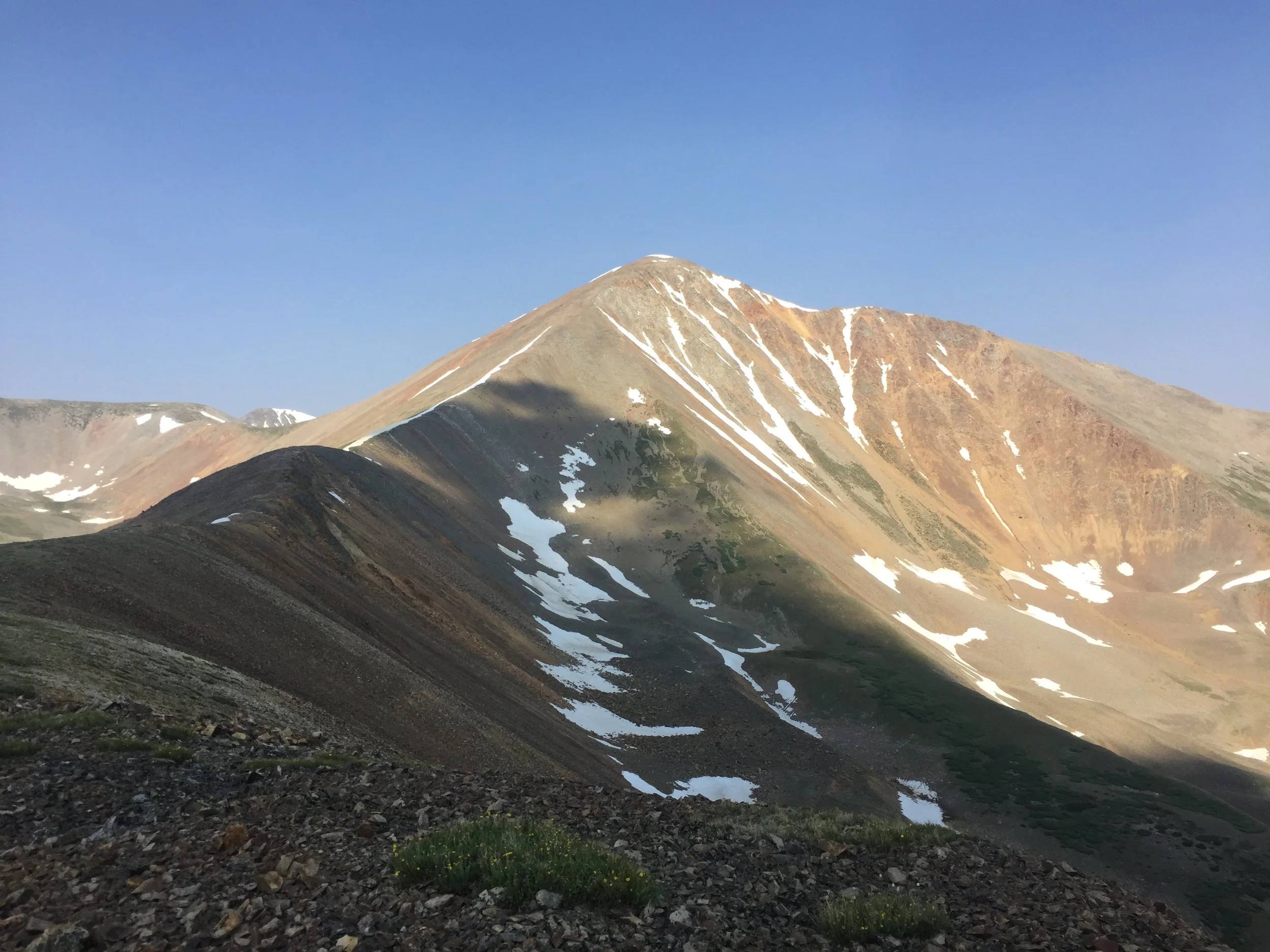
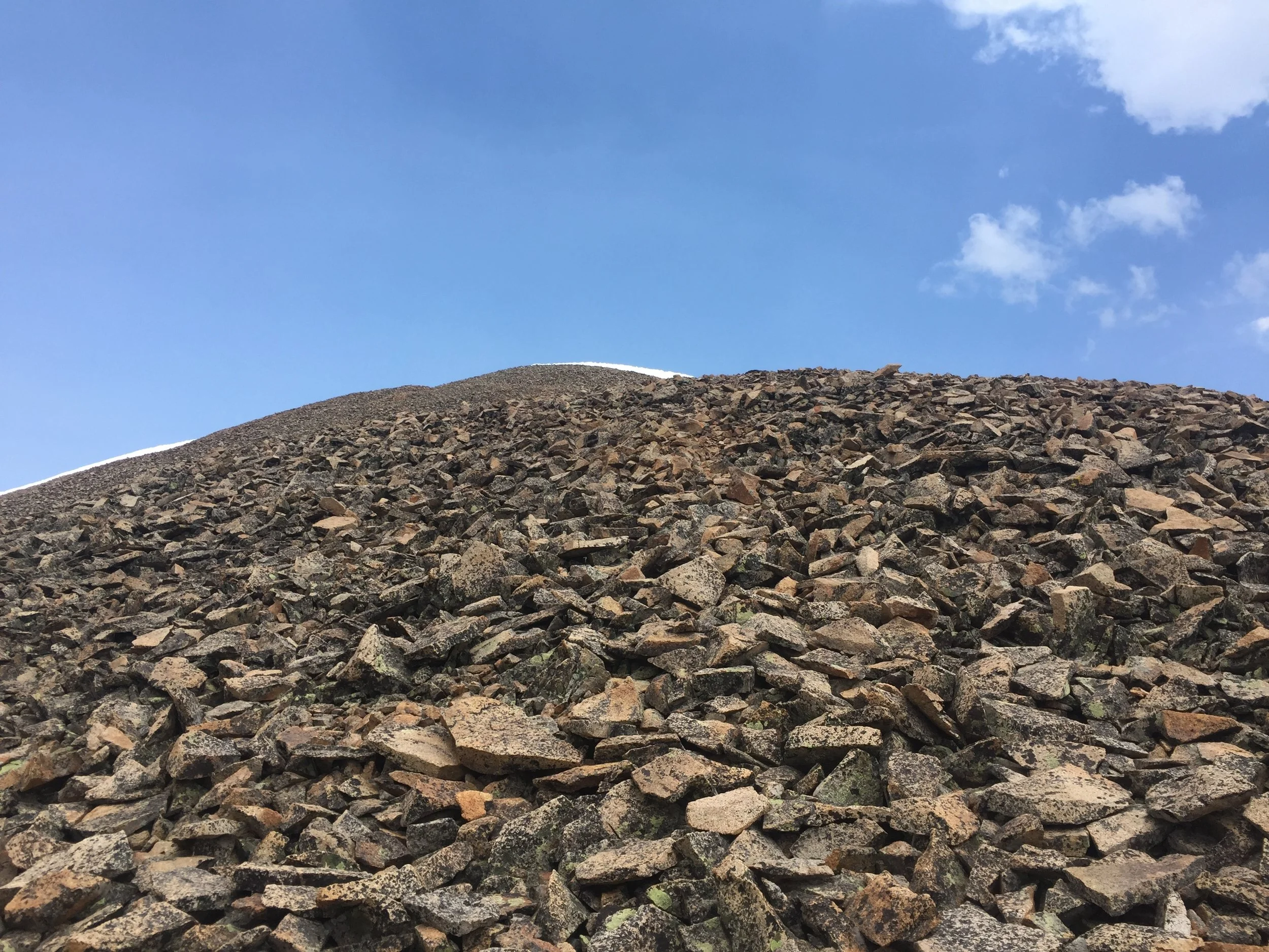
I then took off across a gorgeous alpine meadow to reach the southeast ridge of Cronin Peak (13,878 ft). If you saw any of the pics from our Antero hike a couple days ago, Cronin featured prominently. I just HAD to hike this colorful mountain; little did I know the next two hours would drive me to the brink of insanity. Despite being a striking mountain surrounded by epic views, the ridgeline itself offers no variety, just 1200 ft of loose AF, medium-sized shingles of talus to pick through. It’s just steep enough to offer the wonderful gift of false summits, the fourth of which damn near broke my heart. My legs were at failure point and the skies were getting very dark, but I kept pushing. When I finally reached Cronin’s summit, I only stayed about three minutes.


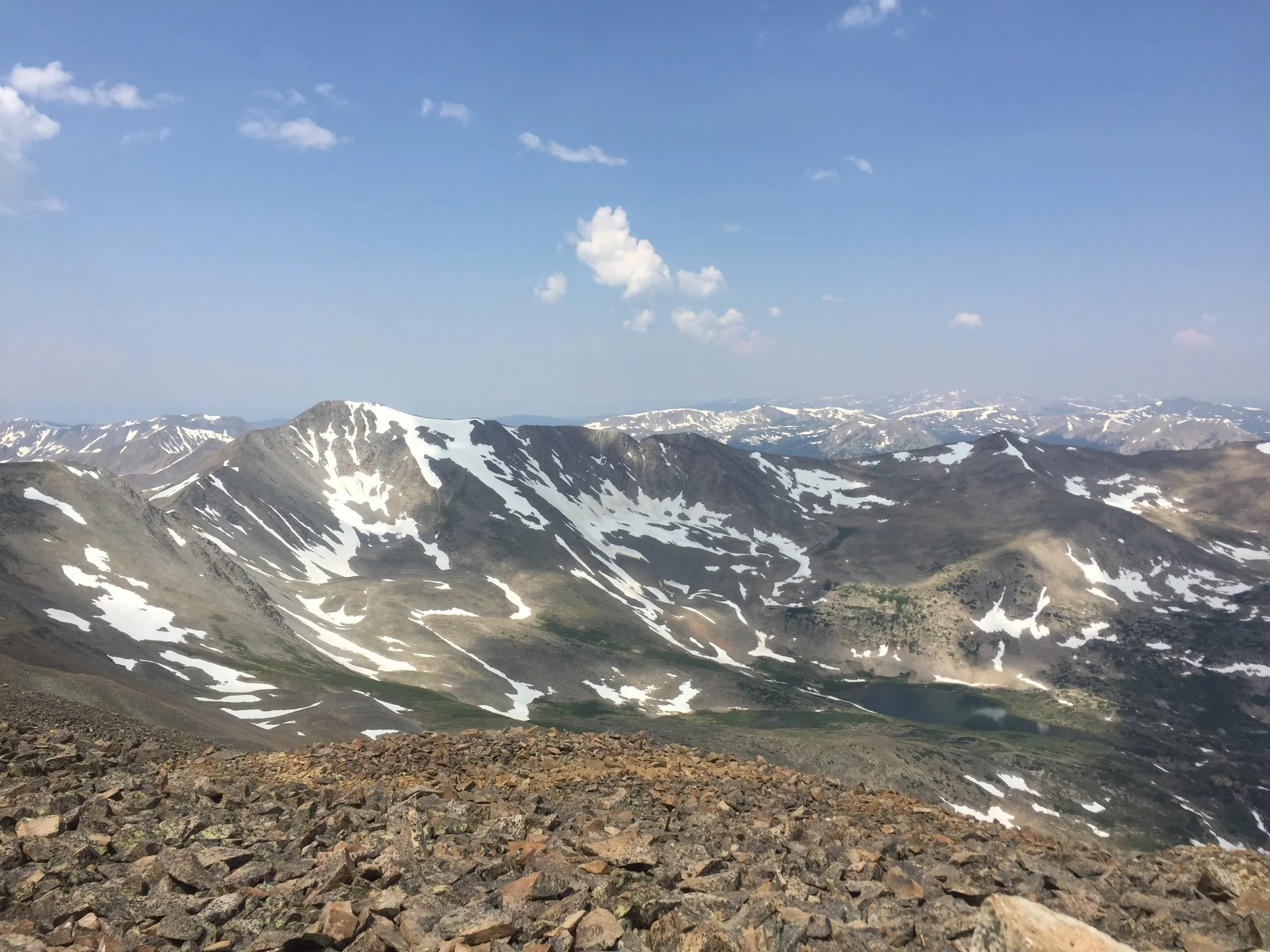
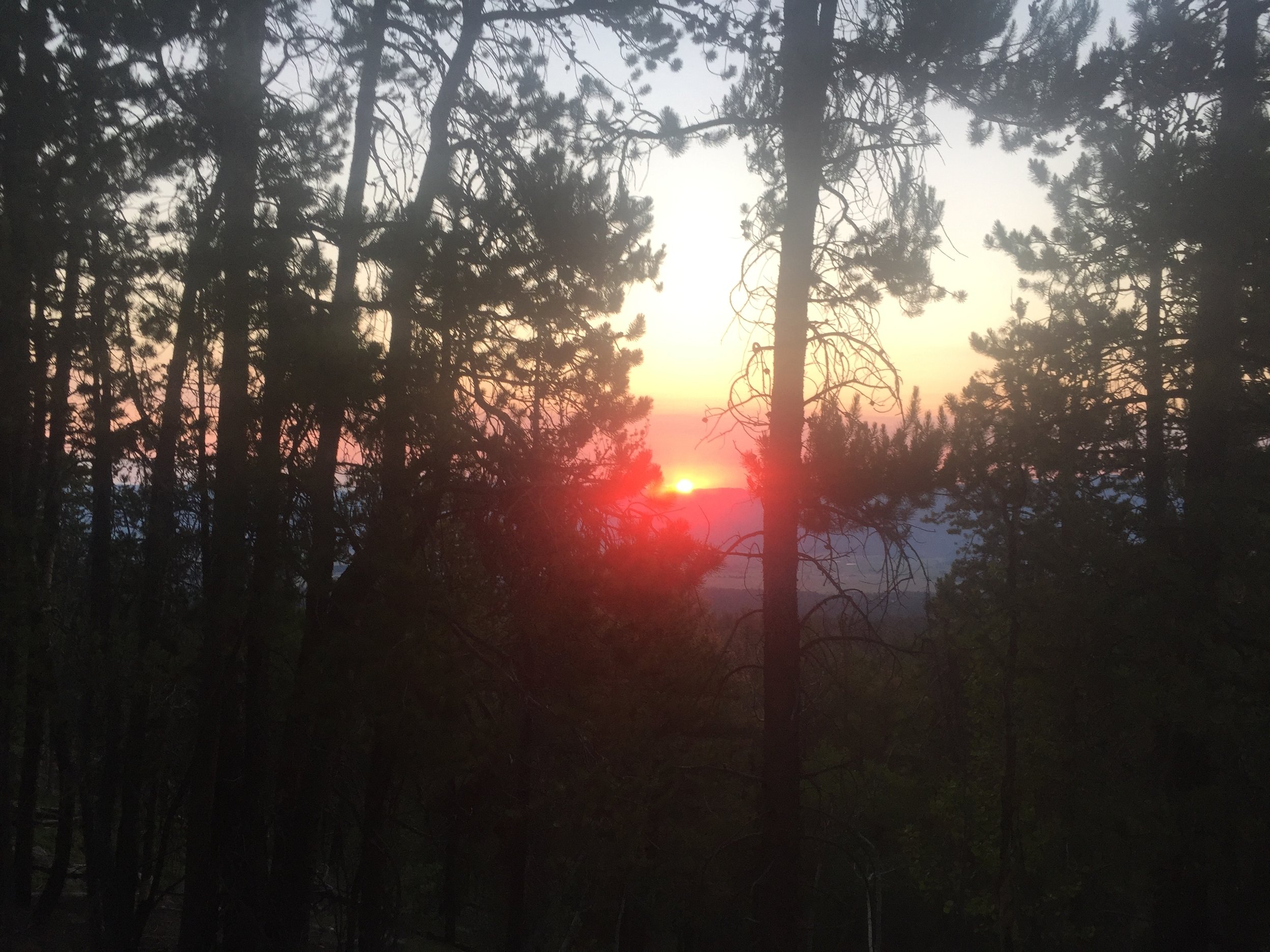
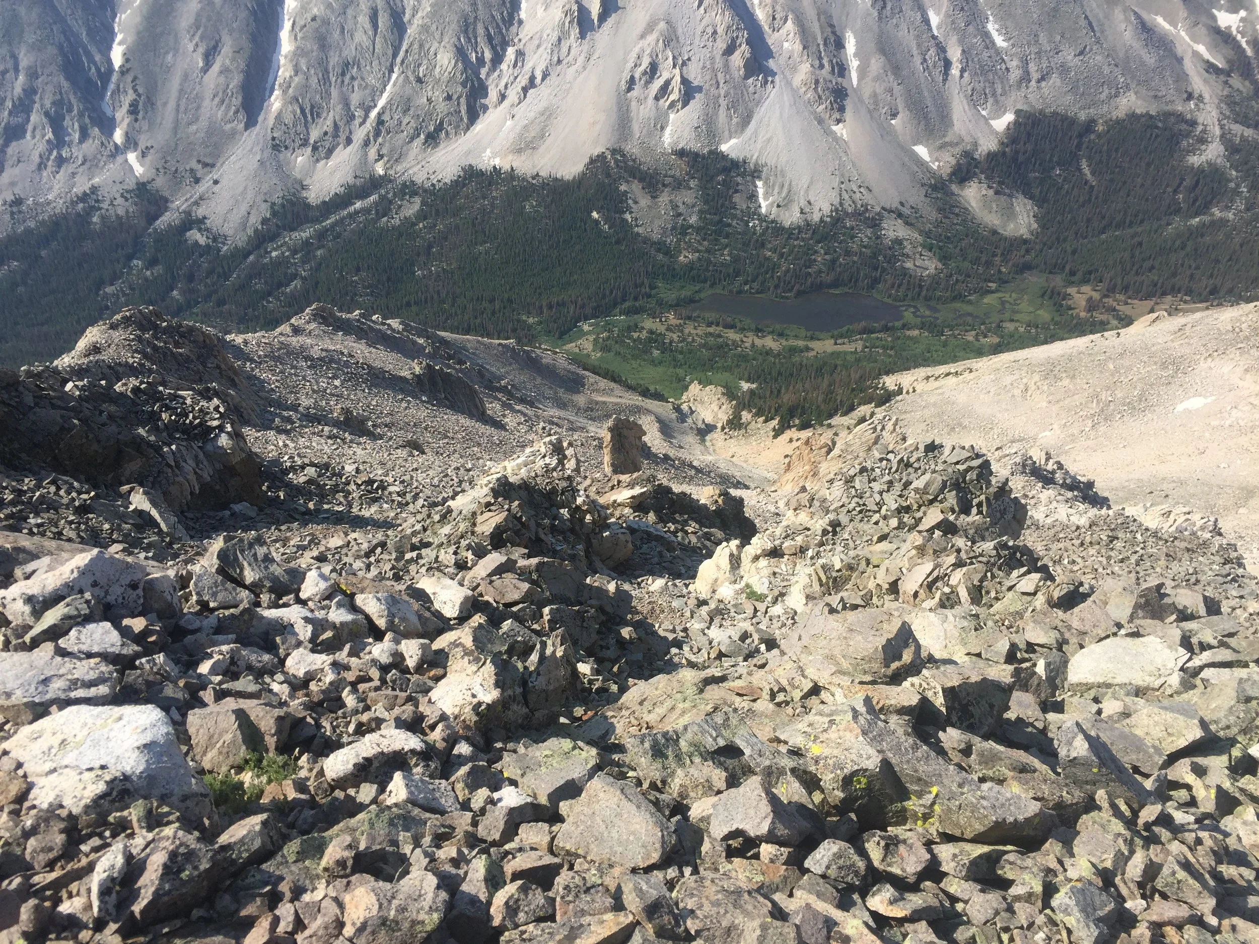
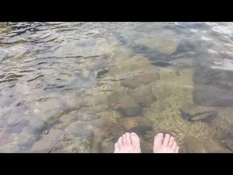
I hauled ass back down that ridge away from the increasing thunder, only stopping briefly to take some shots in the changing light. Thankfully, it was just a tidy 10 miles back to the jeep down beautiful (Big?) Browns Creek. But at least my path down to treeline was straightforward and entirely visible. About 3 miles down the road, I finally took a legit rest stop at Browns Lake. It didn't suck. I ate SO MANY M&Ms and numbed my screaming feet in that cold-ass water. A couple around my age was fishing in the lake nearby, and it was restorative to watch them peacefully doing their thing now that I was out of the danger zone.
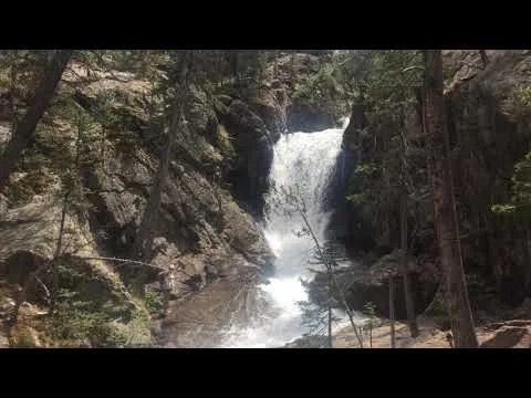
I had another 6 miles to go, and the trail took me through a valley lined with almost sheer cliffs on either side, up to White on my left and Tabeguache (or technically Jones Peak, I guess) on my right. There was a long section through forest that had obviously been obliterated by some sort of insect epidemic. And then halfway home I reached another little oasis, Browns Falls, which was running very swiftly today. These picturesque waypoints on the long trail back really kept me from completely hitting the wall. It was such a huge relief to make it back to Bob the Jeep after such a leg-busting day.
I'm gonna go pass out now...
The stats
Cronin Peak: 13,878 ft; #75 in CO
Mount White: 13,667 ft; #111 in CO
Distance: 19 miles
Gain: 7000 ft
UPDATE: I was just informed that I drank decaf this morning...😵