Latir Mesa Loop & 12ers

Yesterday, I got to revisit a very important place. Four years ago, we came up here twice. The first time, we were thwarted by weather upon reaching the mesa and had to turn around (right at the best part!). Later that week, we returned and made some interesting route decisions that resulted in quite the adventure.
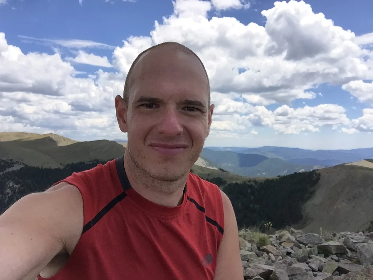
What a difference a bit more experience makes! Mom and I both got in beautiful hikes today in perfect weather that lasted well into the afternoon. She did the full 13-mile loop around Latir Mesa; I added on 4 summits and about 7 miles to that (perhaps 6500 ft of elevation, but all pretty mellow over that distance).
The expansive views in every direction, lush and aromatic forest approach, and promise of incredible dinner back in Taos afterward make this the ultimate NM hike for me. I've loved this area since I was a kid.

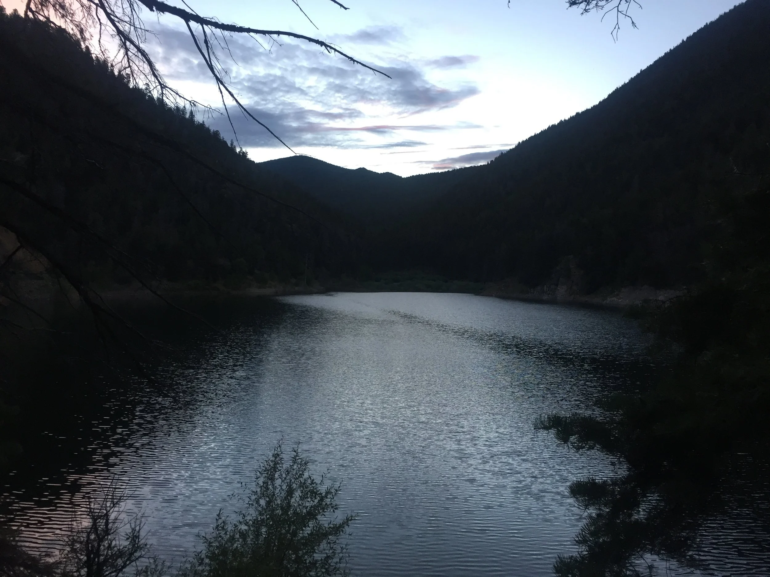
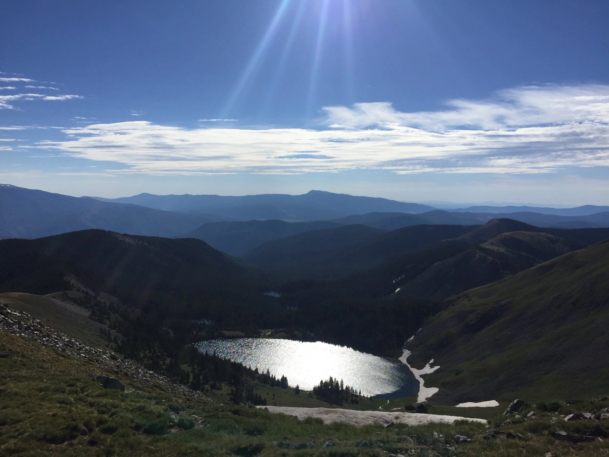
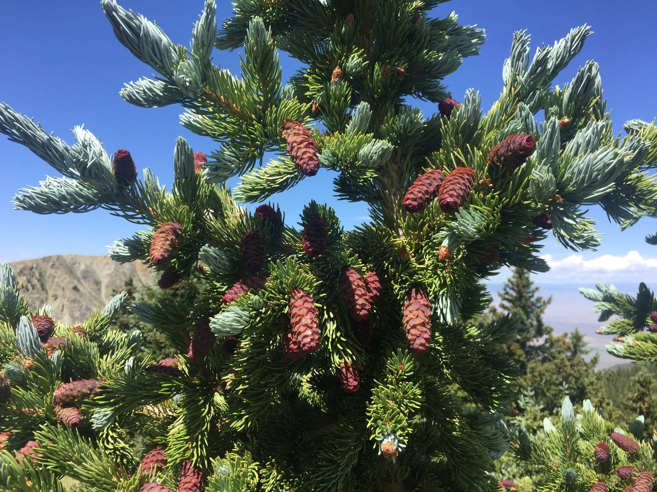
The hike started, of course, very early. We were on the trail by 5:30 after at least an hour drive up from the Rio Grande bridge where we boondocked. You do the math. The trail up to Heart Lake didn’t provide a ton of excitement other than the memory of a distressed deer careening down the trail four years earlier, scaring the total shit out of me, and nearly knocking me into the creek. The switchbacks up to the mesa that seemed so treacherous my first time up here went by in a flash, even with a brief scramble to bypass some crappy snow near the top.
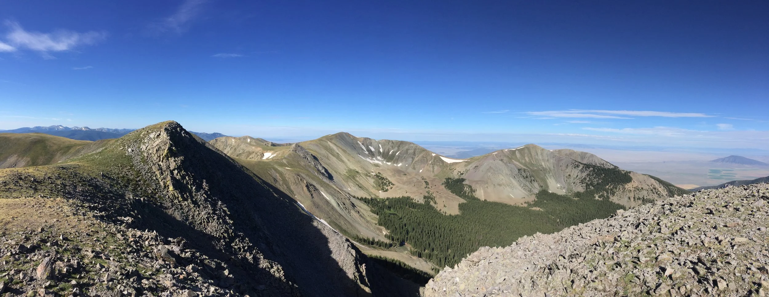
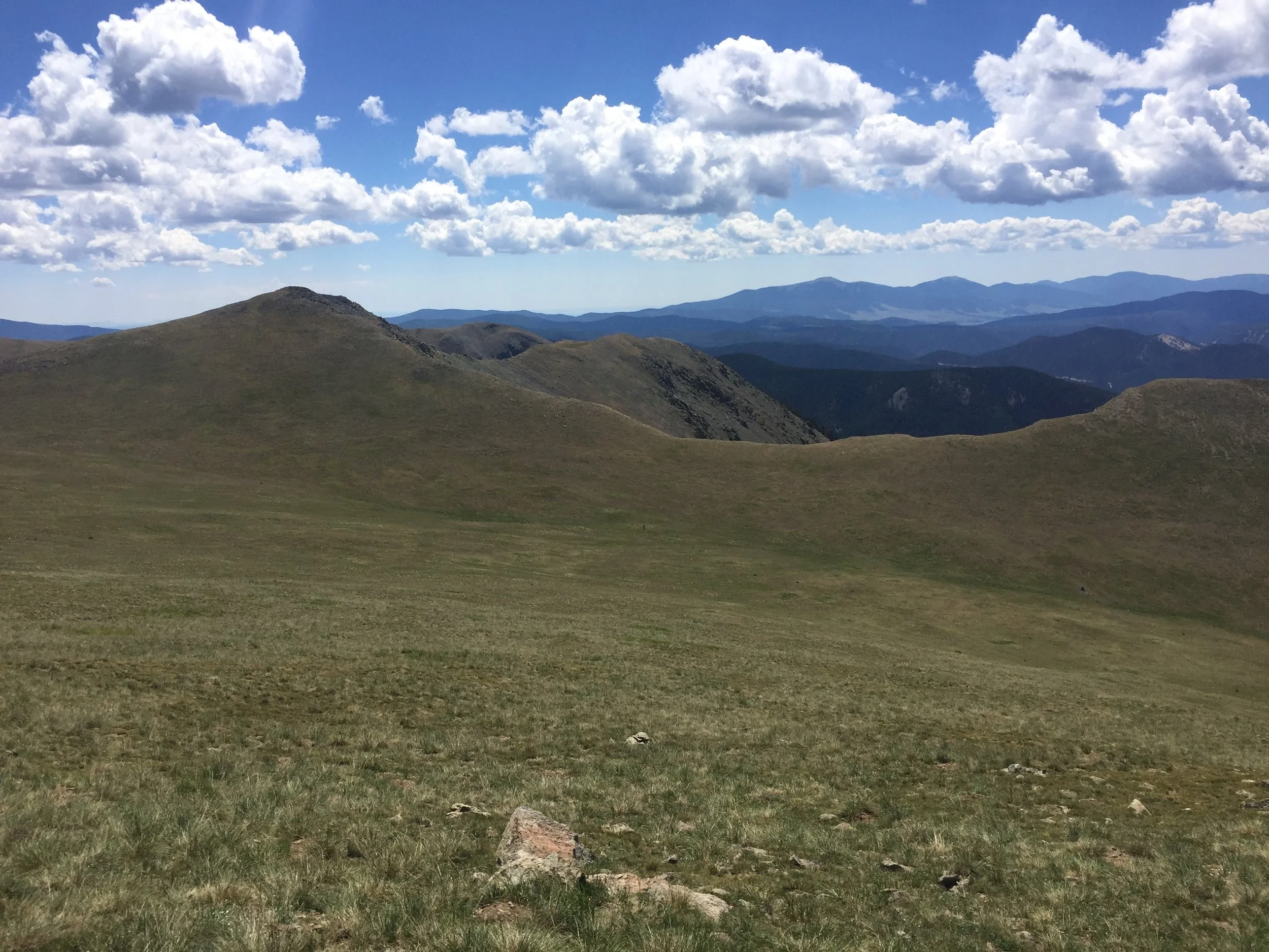
When I first saw Latir Mesa, I thought it was the most beautiful place I’d ever been. The summer of 2013 had been a bit of a dark chapter, and I desperately needed that beauty. I’ve seen a lot of spectacular things since then, but this place is still unique, and uniquely special to me. It was important for me to finally reach summits up here, and Latir Peak was the first on my list. Definitely more of a walk than a climb, the views from New Mexico’s 12th tallest are wonderful. The Blanca and Culebra groups in Colorado are both quite visible, as is Wheeler Peak to the south.
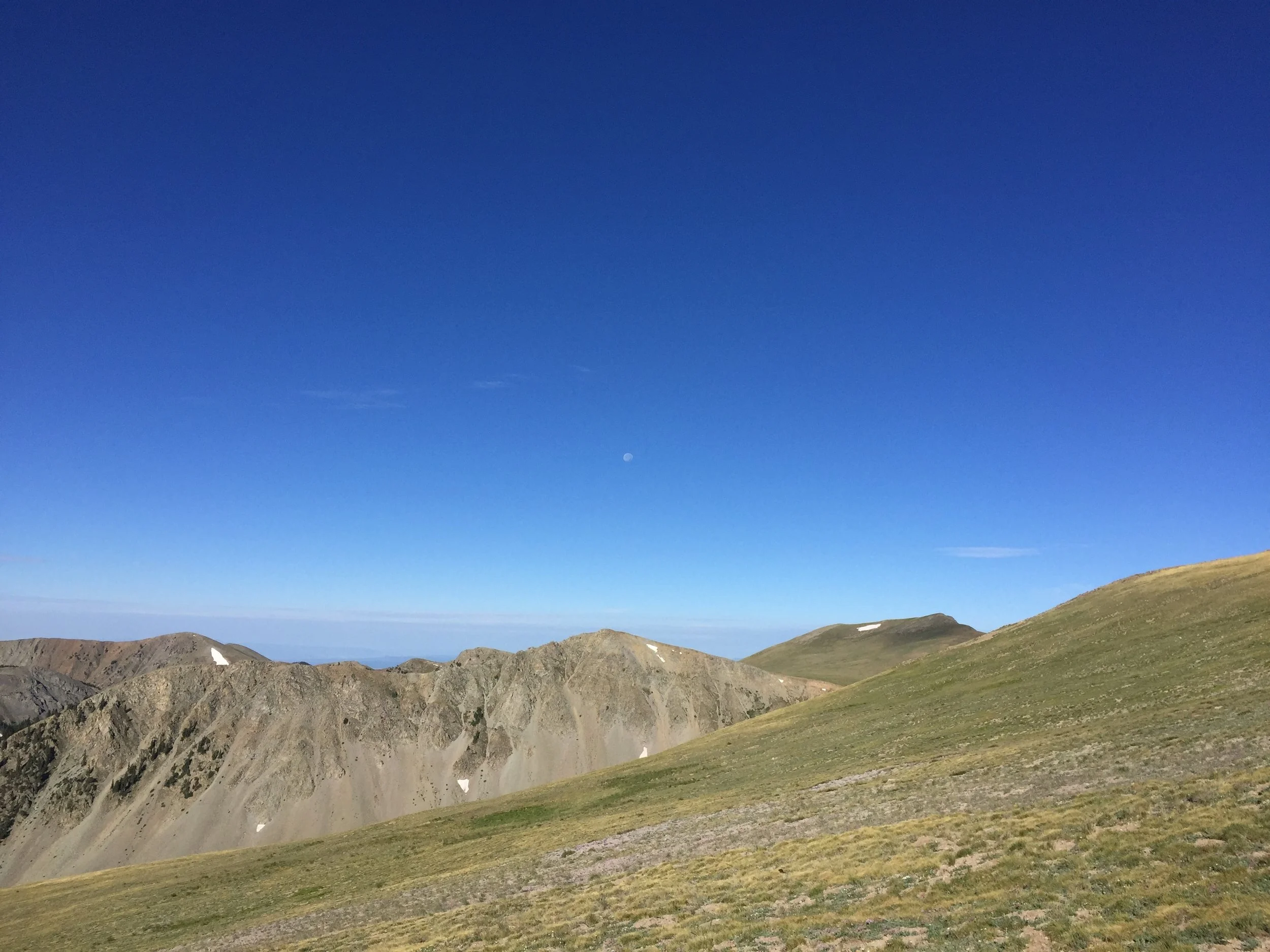
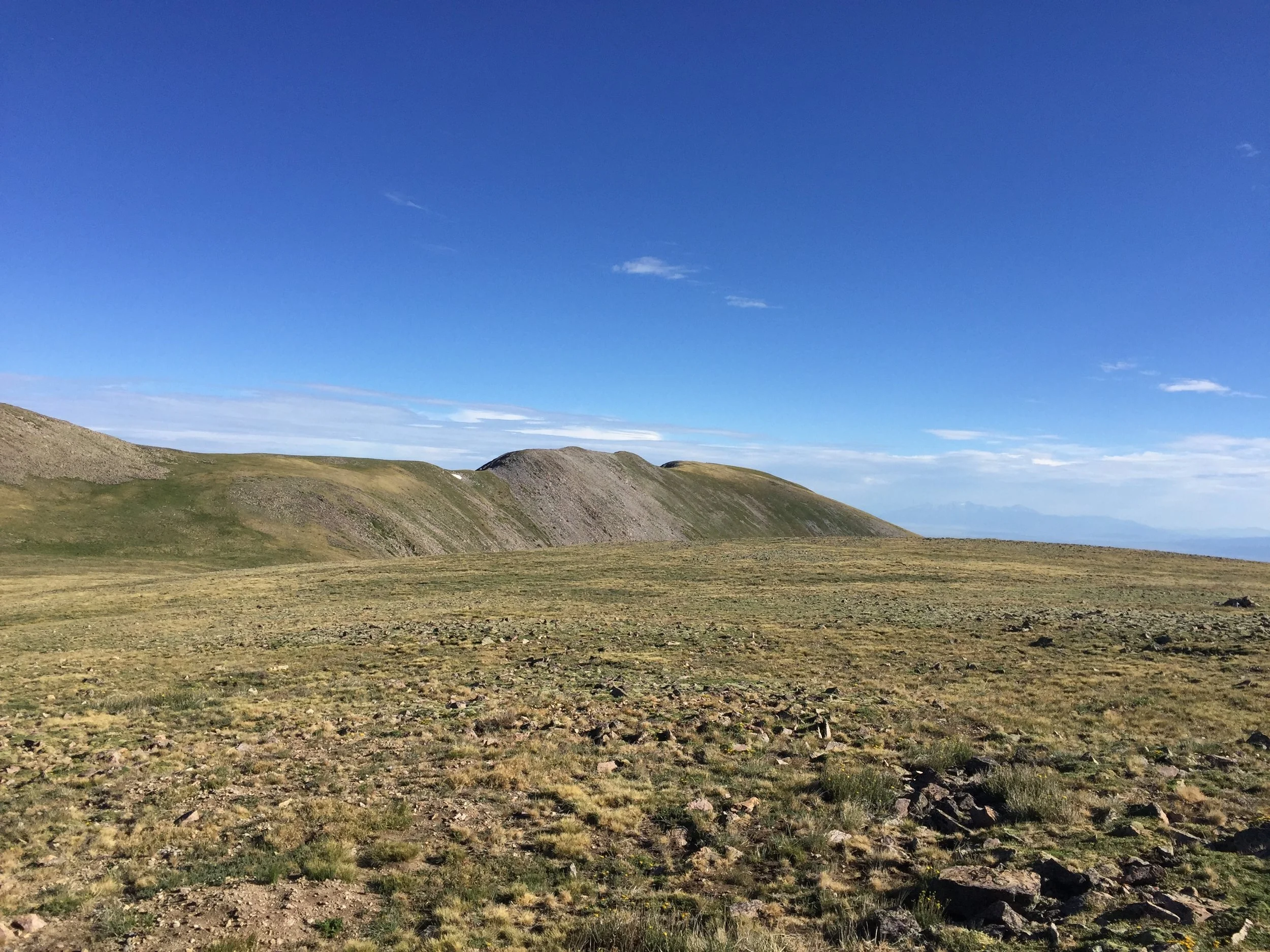
Next on the agenda was returning to the main trail, bypassing a couple rocky points where the mesa narrows, and heading up Venado Peak. These steeper but really straightforward bypasses terrified me four yeas ago. Confronting my vertigo has been a big reason for all the mountain hiking I've done the last few years. I never liked that I had trouble enjoying big open views in every direction (especially up and down). It still creeps up every once in a while, but putting myself right in the fire has made a huge difference. Added bonus: I was able to relax and enjoy all the marmots that live in the rocky sections of this hike!
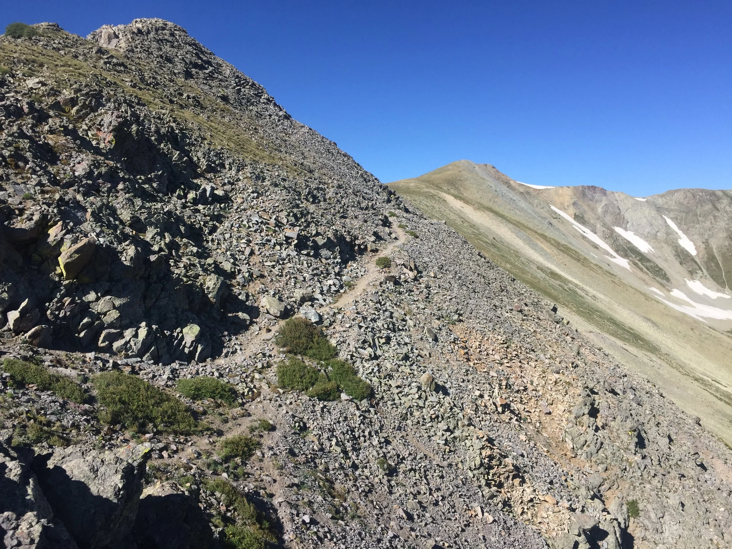
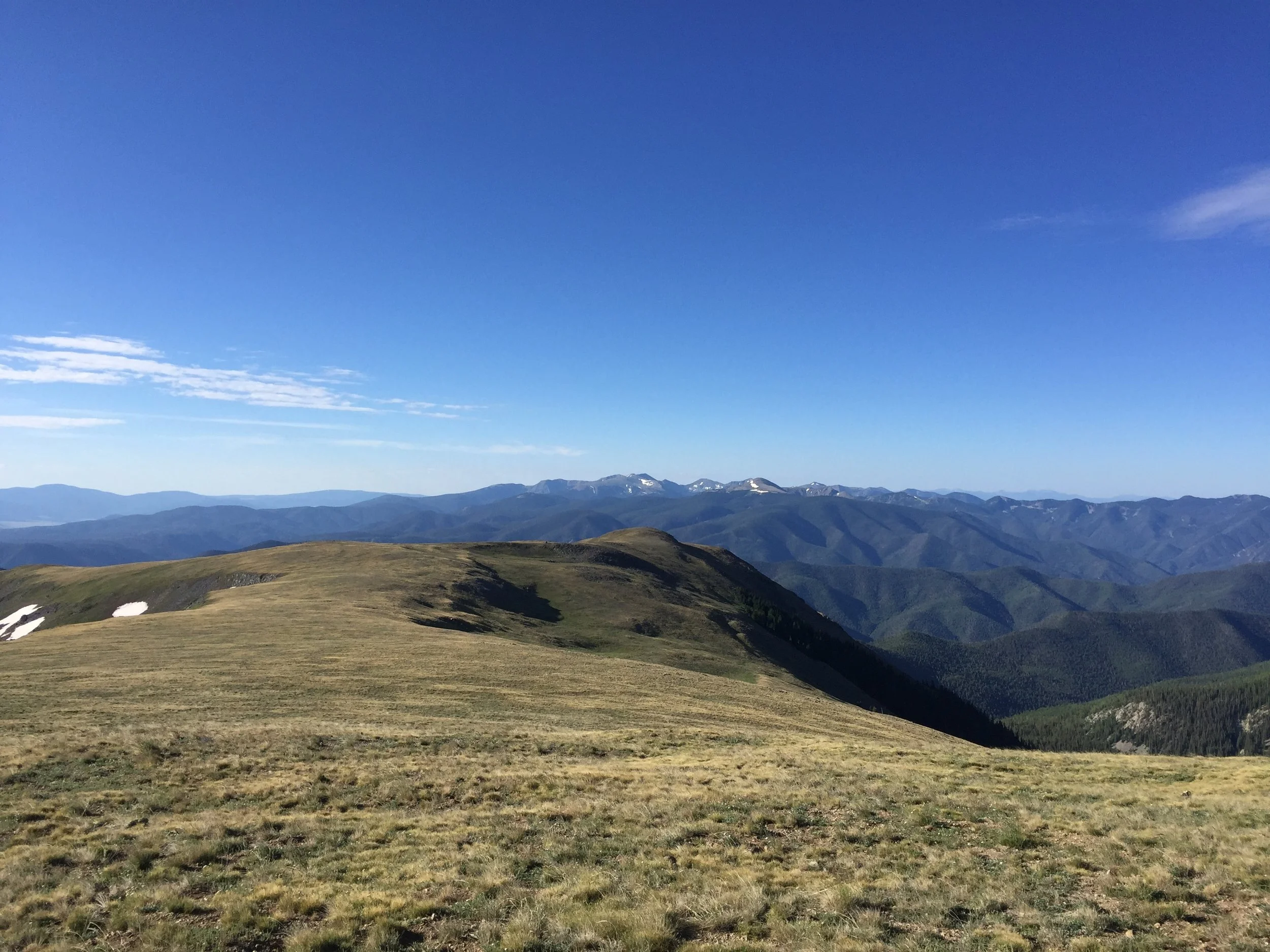
Although Venado would be the high point of today’s hike, the steep grassy walk to the top of the 10th tallest in NM was no biggie. From my vantage point there, I did see a small dot gaining the mesa behind me - I figured it was Mom.
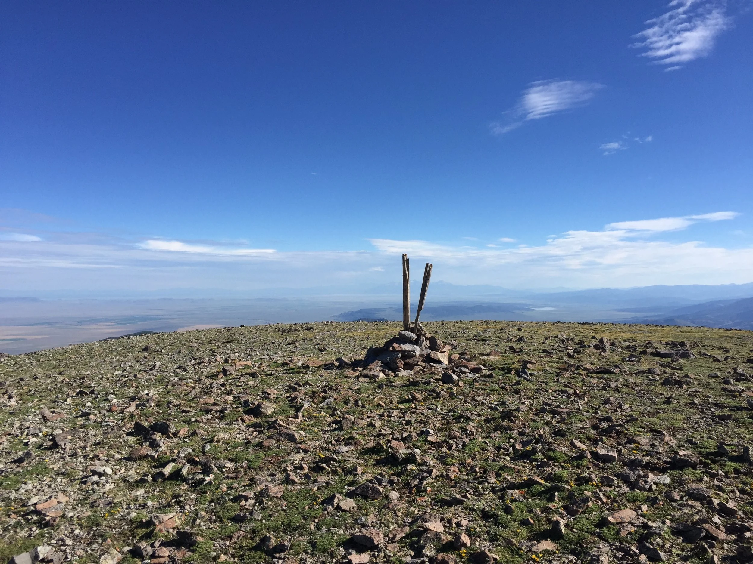
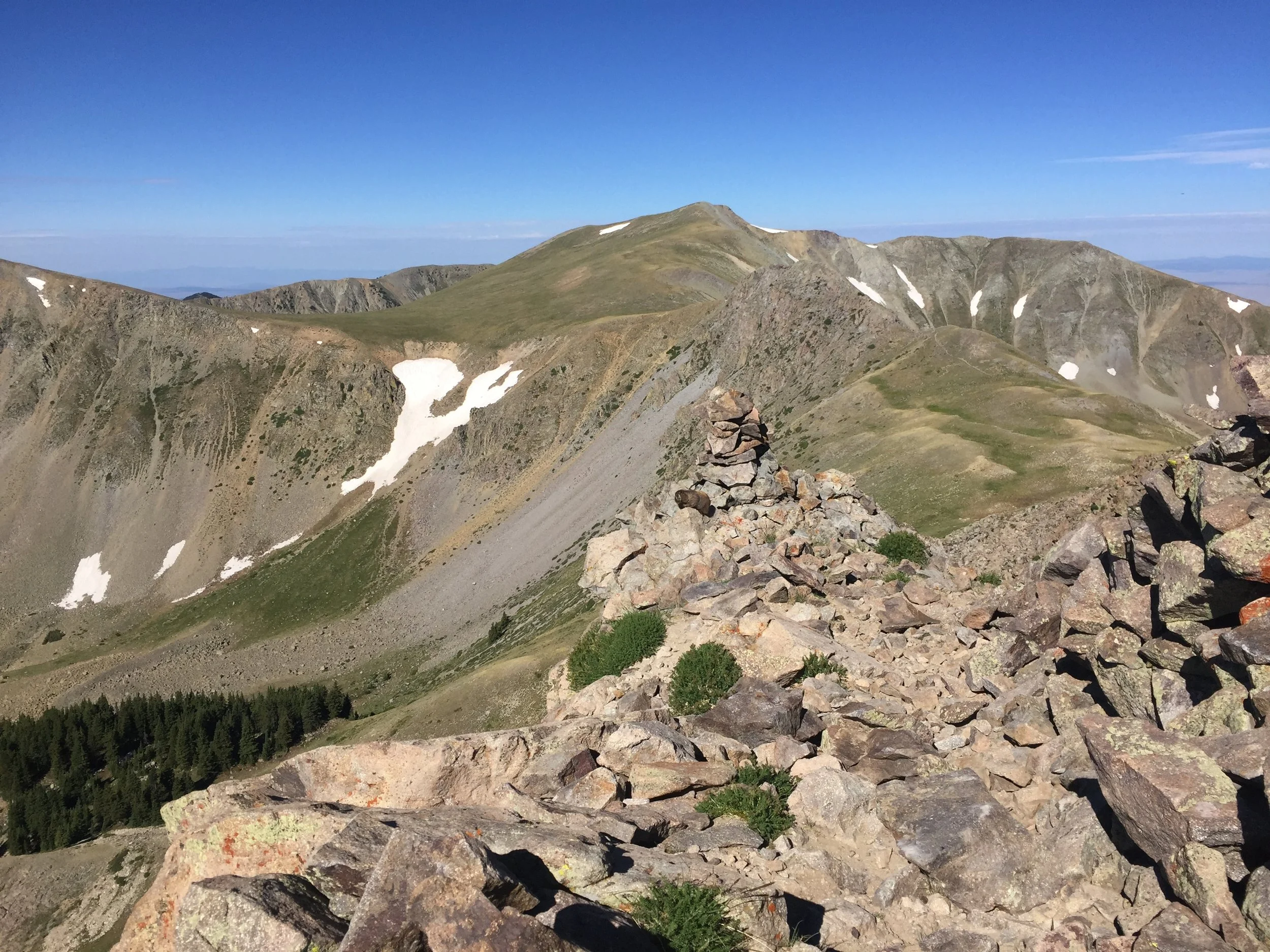
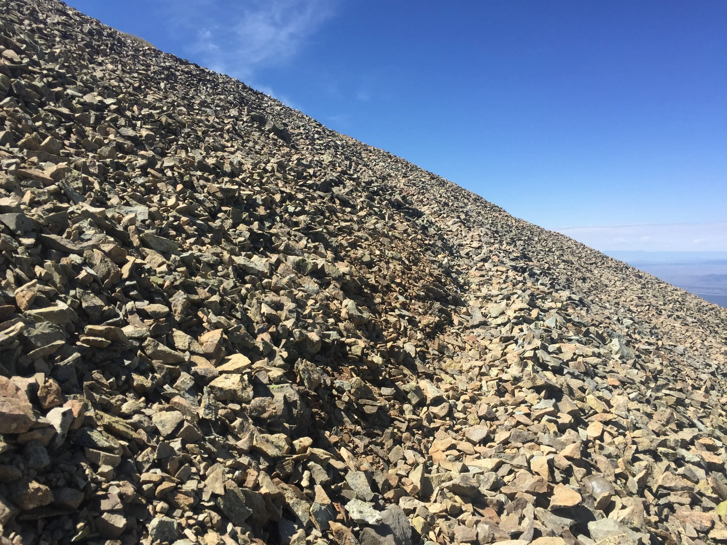
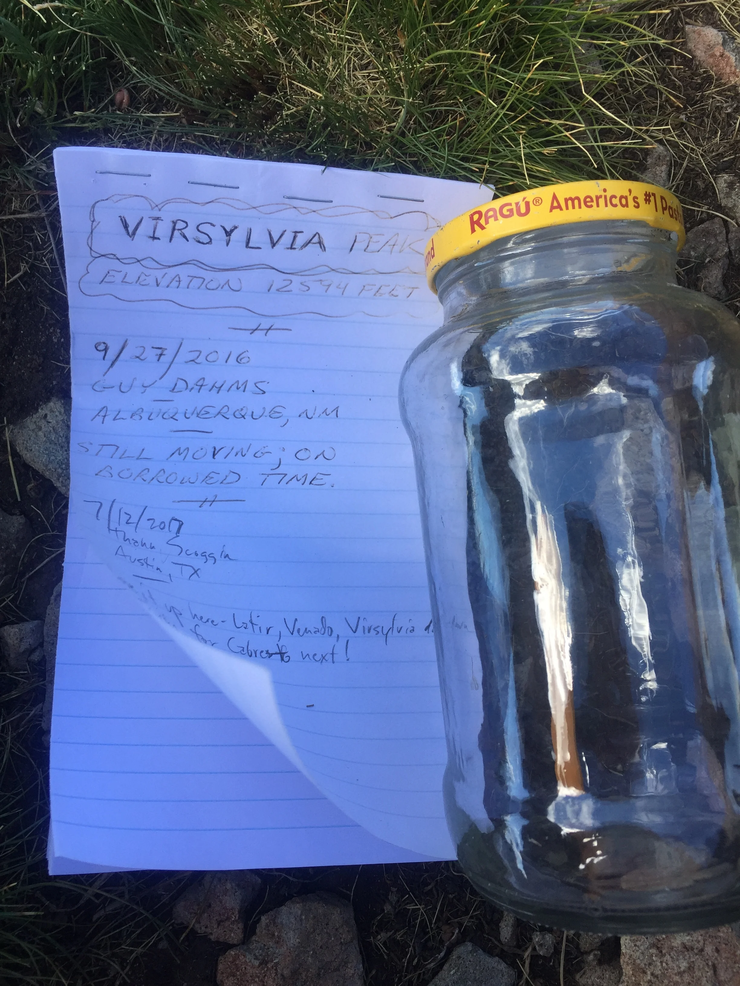
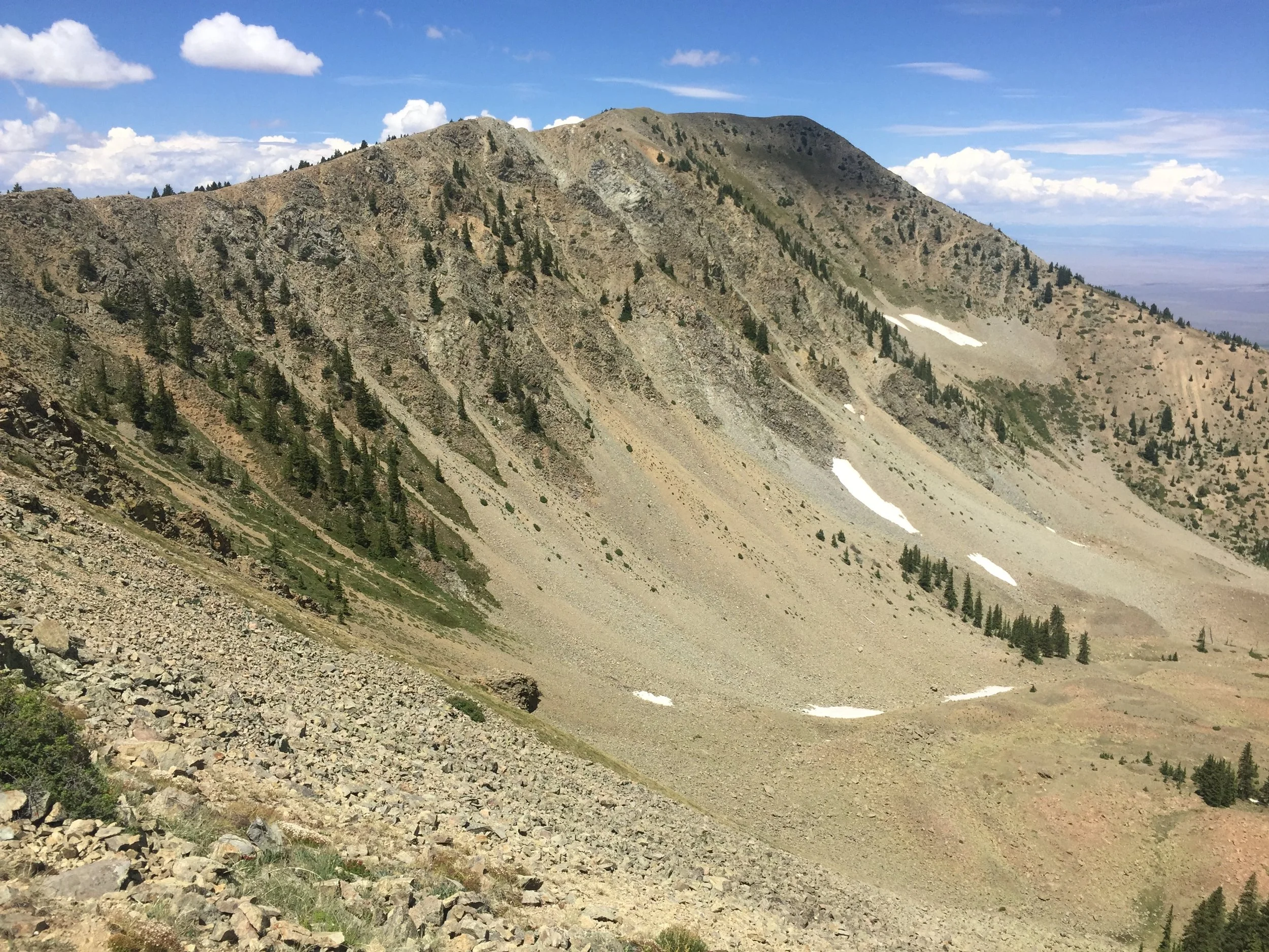
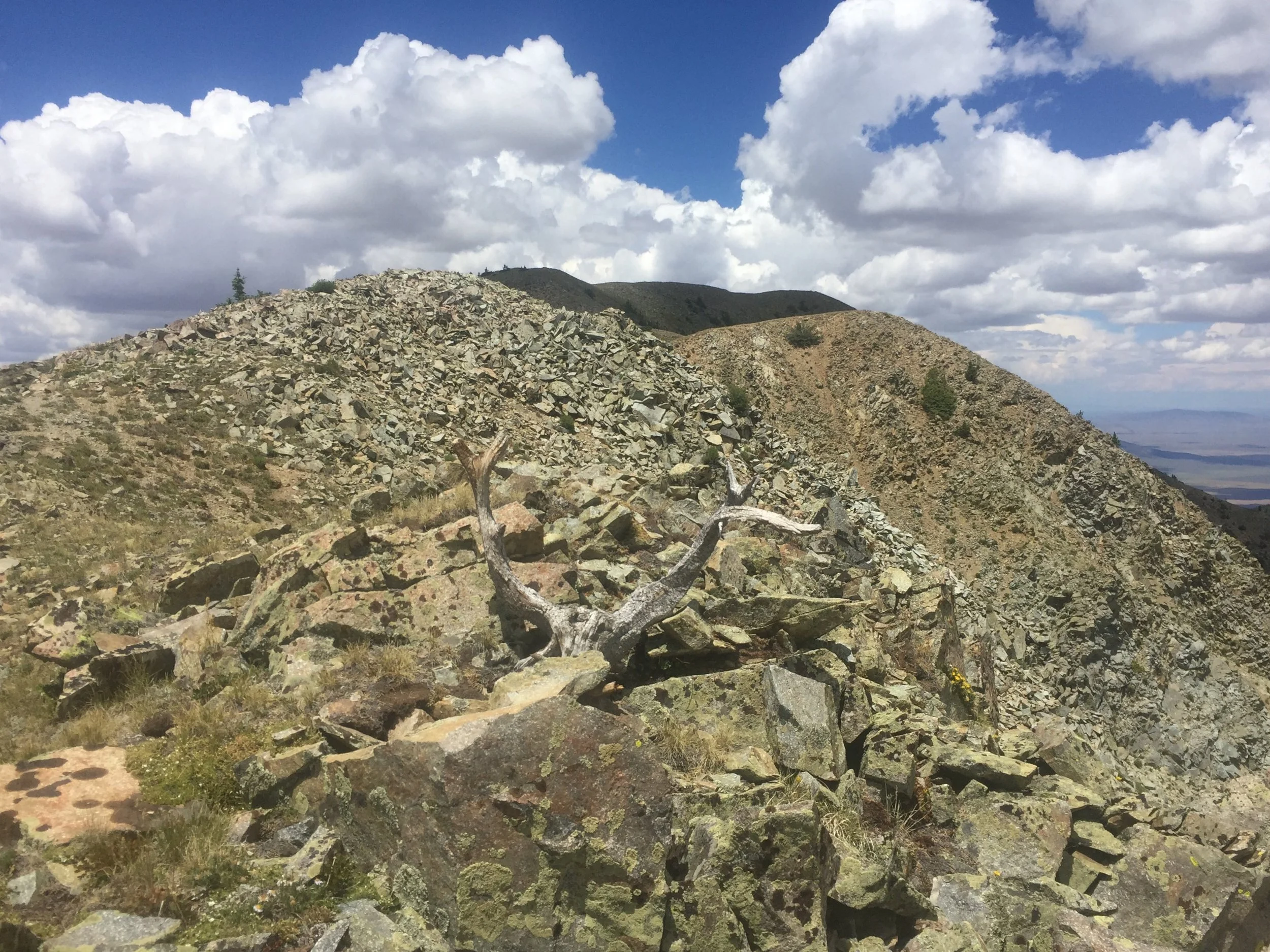
Adding on neighbor Virsylvia Peak would be the most remote hiking of the day, and some of the most fun. The connecting ridge became talus, but I managed to find some well-defined trail through it. I suspect it’s from cattle that often graze high up in this area. We noticed a bunch on Venado in 2013, but there were none to be found today. Just as well - I wasn’t about to get in a turf war with a bull to summit a middling 12er. I was surprised by the summit register on Virsylvia, a Ragú jar with a makeshift pad I was only the second person to sign. I could very well have been the first person up there in nearly a year!


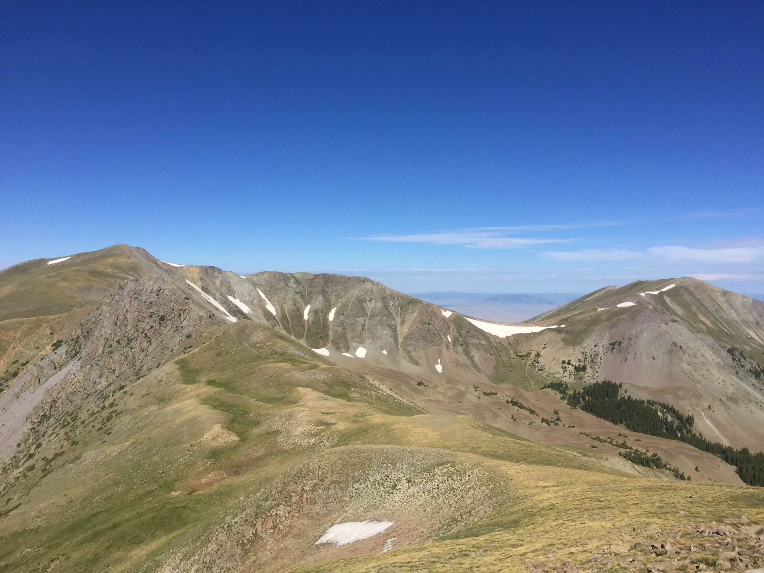
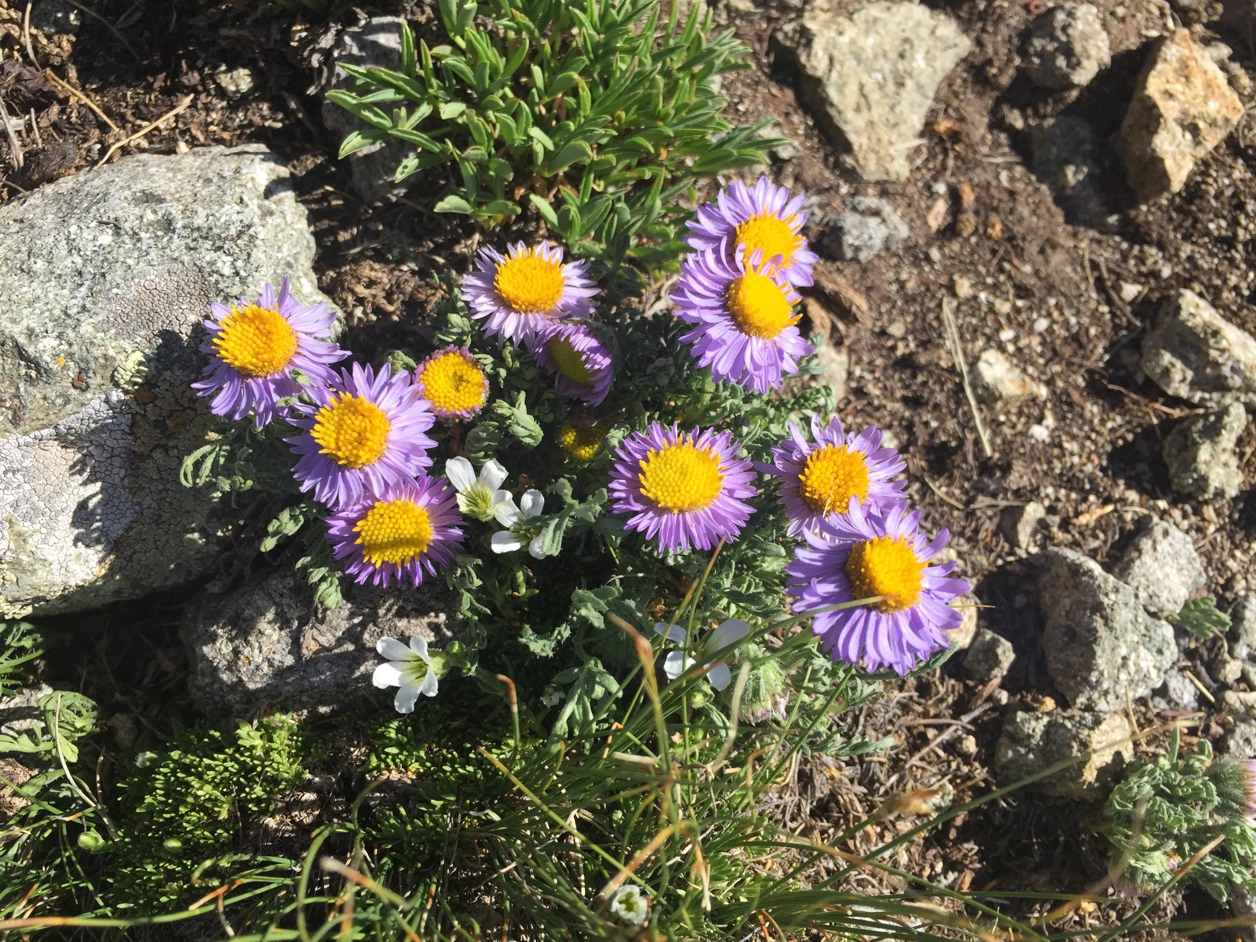
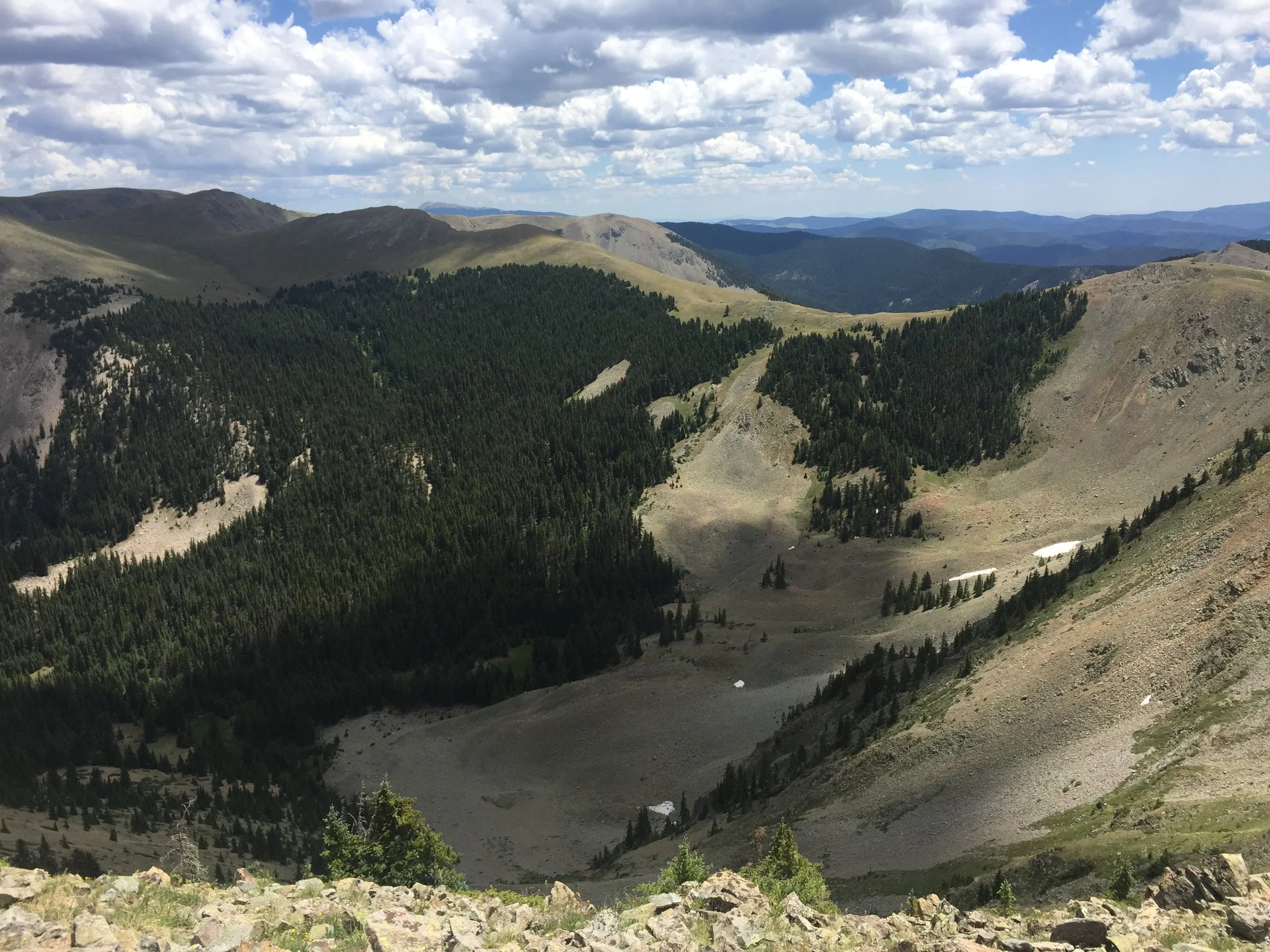
On my return to the main trail, I was able to cut about 30 ft off the shoulder of Venado and then reunite with my mom for a bit. Definitely fun tracking her down from above. When we reached the Bull Creek cutoff, she headed back toward Cabresto Lake and the trailhead while I aimed for my final goal of the day, Cabresto Peak. The ridgeline over to the summit looks rough but is actually pretty easygoing. There are lots of wildflowers and scrubby pines in this area. The view of Virgin Canyon is also fantastic. Four years ago, we lost the trail in the marshes down there and ended up having to improvise. It was an early mountain hiking triumph!
Today also felt triumphant. This hike is the longest single day hike I’ve ever done, but I’m already making a list of points I need to hit next time I’m here.
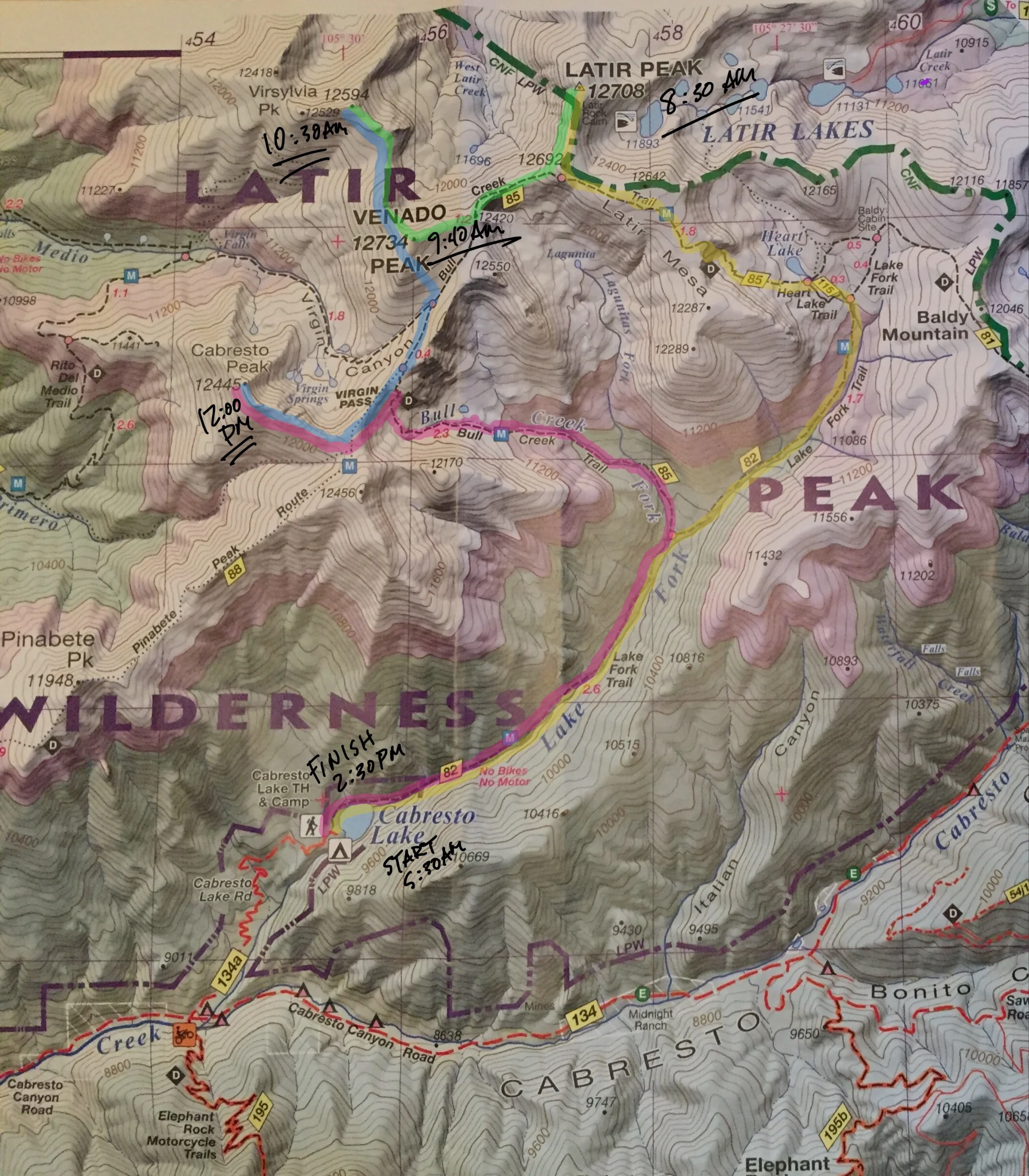
The stats
Latir Peak: 12,708 ft; #12 in NM
Venado Peak: 12,734 ft; #10 in NM
Virsylvia Peak: 12,594 ft; #18 in NM
Cabresto Peak: 12,445 ft; #24 in NM
Distance: ~20 miles
Gain: ~6500 ft